83 Bill Brown Rd Albany, KY 42602
Estimated Value: $93,000
3
Beds
2
Baths
1,232
Sq Ft
$75/Sq Ft
Est. Value
About This Home
This home is located at 83 Bill Brown Rd, Albany, KY 42602 and is currently estimated at $93,000, approximately $75 per square foot. 83 Bill Brown Rd is a home located in Clinton County with nearby schools including Clinton County Early Childhood Center, Albany Elementary School, and Clinton County Middle School.
Ownership History
Date
Name
Owned For
Owner Type
Purchase Details
Closed on
Feb 10, 2023
Sold by
Lapois William and Lapois Terry
Bought by
Lapois Tonya R
Current Estimated Value
Home Financials for this Owner
Home Financials are based on the most recent Mortgage that was taken out on this home.
Original Mortgage
$35,000
Outstanding Balance
$27,648
Interest Rate
6.13%
Mortgage Type
Credit Line Revolving
Estimated Equity
$65,352
Purchase Details
Closed on
Dec 20, 2022
Sold by
Ferguson Brothers Inc
Bought by
Craig Ricky L
Home Financials for this Owner
Home Financials are based on the most recent Mortgage that was taken out on this home.
Original Mortgage
$35,000
Outstanding Balance
$27,648
Interest Rate
6.13%
Mortgage Type
Credit Line Revolving
Estimated Equity
$65,352
Create a Home Valuation Report for This Property
The Home Valuation Report is an in-depth analysis detailing your home's value as well as a comparison with similar homes in the area
Home Values in the Area
Average Home Value in this Area
Purchase History
| Date | Buyer | Sale Price | Title Company |
|---|---|---|---|
| Lapois Tonya R | -- | None Listed On Document | |
| Lapois Tonya R | -- | None Listed On Document | |
| Craig Ricky L | $300,000 | None Listed On Document | |
| Craig Ricky L | $300,000 | None Listed On Document |
Source: Public Records
Mortgage History
| Date | Status | Borrower | Loan Amount |
|---|---|---|---|
| Open | Lapois Tonya R | $35,000 | |
| Closed | Lapois Tonya R | $35,000 |
Source: Public Records
Tax History Compared to Growth
Tax History
| Year | Tax Paid | Tax Assessment Tax Assessment Total Assessment is a certain percentage of the fair market value that is determined by local assessors to be the total taxable value of land and additions on the property. | Land | Improvement |
|---|---|---|---|---|
| 2024 | $128 | $61,650 | $0 | $0 |
| 2023 | $129 | $61,650 | $0 | $0 |
| 2022 | $177 | $61,650 | $0 | $0 |
| 2021 | $177 | $61,650 | $0 | $0 |
| 2020 | $187 | $61,650 | $0 | $0 |
| 2019 | $185 | $61,650 | $0 | $0 |
| 2018 | $198 | $135,000 | $100,000 | $35,000 |
| 2015 | $189 | $135,000 | $100,000 | $35,000 |
| 2013 | -- | $140,000 | $105,000 | $35,000 |
Source: Public Records
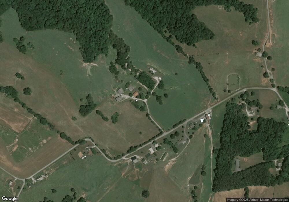
Map
Nearby Homes
- 412 Groce Subdivision Rd
- 30 Lakepointe Dr
- 1086 Martin Cross Rd
- 0 Oak Dr Brady Dr
- 210 Lakeside Dr
- 341 Bradley Rd
- 1 Olympus Dr
- 251 S Taxiway Dr
- 263 W Taxiway Dr
- 0 Olympus Dr
- 2.24 acres Olympus Dr
- 67 W Taxiway Dr
- 55 Lakeview Dr
- 000 Martha Stockton Rd
- 0 Speck Rd
- 272 Marshall Stearns Rd
- 350 Griffin Trail
- Lots 15 &23
- 0 Griffin Trail Unit 74 11089354
- Lots 87 & 88 Crescent Ridge Subdivision
- 557 Lees Chapel Rd
- 399 Lees Chapel Rd
- 7 & 8 W Brown Rd
- 273 Lees Chapel Rd
- 0 Lees Chapel Rd Unit 548058
- 0 Lees Chapel Rd Unit 1182365
- 0 Lees Chapel Rd Unit 22003675
- 813 Lees Chapel Rd
- 163 Lees Chapel Rd
- 85 Jackie Ln
- 57 Jackie Ln
- 305 H C Brown Rd
- 4544 Wolf River Dock Rd
- 54 John Eudy Rd
- 4403 Wolf River Dock Rd
- 4579 Wolf River Dock Rd
- 4348 Wolf River Dock Rd
- 1 Lees Chapel Rd
- 954 Lees Chapel Rd
- 4302 Wolf River Dock Rd