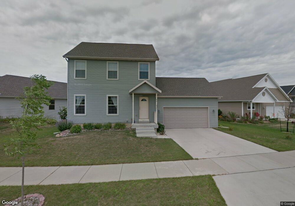
834 Robin Dr Sun Prairie, WI 53590
Eastern Sun Prairie NeighborhoodEstimated Value: $391,000 - $403,000
3
Beds
3
Baths
1,508
Sq Ft
$263/Sq Ft
Est. Value
About This Home
This home is located at 834 Robin Dr, Sun Prairie, WI 53590 and is currently estimated at $396,908, approximately $263 per square foot. 834 Robin Dr is a home located in Dane County with nearby schools including Northside Elementary School, Sun Prairie East High School, and Central Heights Middle School.
Ownership History
Date
Name
Owned For
Owner Type
Purchase Details
Closed on
Aug 24, 2007
Sold by
F & F Home Construction Inc
Bought by
Thompson Phillip W and Sellung Brian J
Current Estimated Value
Home Financials for this Owner
Home Financials are based on the most recent Mortgage that was taken out on this home.
Original Mortgage
$159,920
Outstanding Balance
$101,924
Interest Rate
6.79%
Mortgage Type
Purchase Money Mortgage
Estimated Equity
$294,984
Purchase Details
Closed on
Dec 27, 2005
Sold by
Cactus Group Llc
Bought by
F & F Home Construction Inc
Home Financials for this Owner
Home Financials are based on the most recent Mortgage that was taken out on this home.
Original Mortgage
$50,366
Interest Rate
6.48%
Mortgage Type
Construction
Create a Home Valuation Report for This Property
The Home Valuation Report is an in-depth analysis detailing your home's value as well as a comparison with similar homes in the area
Home Values in the Area
Average Home Value in this Area
Purchase History
| Date | Buyer | Sale Price | Title Company |
|---|---|---|---|
| Thompson Phillip W | $199,900 | None Available | |
| F & F Home Construction Inc | $49,900 | None Available |
Source: Public Records
Mortgage History
| Date | Status | Borrower | Loan Amount |
|---|---|---|---|
| Open | Thompson Phillip W | $159,920 | |
| Previous Owner | F & F Home Construction Inc | $50,366 |
Source: Public Records
Tax History Compared to Growth
Tax History
| Year | Tax Paid | Tax Assessment Tax Assessment Total Assessment is a certain percentage of the fair market value that is determined by local assessors to be the total taxable value of land and additions on the property. | Land | Improvement |
|---|---|---|---|---|
| 2024 | $5,820 | $310,800 | $66,000 | $244,800 |
| 2023 | $5,268 | $310,800 | $66,000 | $244,800 |
| 2021 | $5,116 | $247,500 | $53,600 | $193,900 |
| 2020 | $5,257 | $247,500 | $53,600 | $193,900 |
| 2019 | $4,870 | $204,500 | $41,900 | $162,600 |
| 2018 | $4,519 | $204,500 | $41,900 | $162,600 |
| 2017 | $4,352 | $204,500 | $41,900 | $162,600 |
| 2016 | $4,236 | $180,600 | $38,700 | $141,900 |
| 2015 | $4,119 | $180,600 | $38,700 | $141,900 |
| 2014 | $4,005 | $174,600 | $38,700 | $135,900 |
| 2013 | $4,850 | $174,600 | $38,700 | $135,900 |
Source: Public Records
Map
Nearby Homes
- 223 Larkspur Ct
- 111 White Tail Dr
- 626 Sanibel Ln
- 311 Spoke Cir
- 1077 Gas Light Dr
- 1171 Carriage Dr
- 201 E Lane St Unit 202
- Phase 2 Lots Town Hall Dr
- 566 Gerald Ave
- 2543 Water Lily Cir
- 2560 Water Lily Cir
- 2535 Water Lily Cir
- 2522 Water Lily Cir
- 1300 Swordleaf Ln
- 1323 Prairie Rose Dr
- 116 Gary Ct
- 5801 Town Hall Dr
- 227 Windsor St
- 2000 Columbus St
- 147 Flint St
- 860 Robin Dr
- 812 Robin Dr
- 886 Robin Dr
- 815 Robin Dr
- 829 Robin Dr
- 871 Robin Dr
- 843 Robin Dr
- 885 Robin Dr
- 274 Sweet Grass Dr
- 898 Robin Dr
- 268 Sweet Grass Dr
- 899 Robin Dr
- 288 Sweet Grass Dr
- 860 Cheddar Crest
- 264 Sweet Grass Dr
- 310 S Musket Ridge Dr
- 850 Cheddar Crest
- 850 Cedar Ln
- L79 Sweet Grass Dr
- L78 Sweet Grass Dr