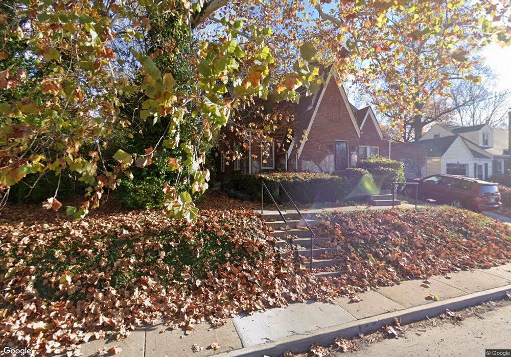
835 Airport Rd Saint Louis, MO 63135
Estimated Value: $95,720 - $118,000
3
Beds
1
Bath
1,140
Sq Ft
$93/Sq Ft
Est. Value
About This Home
This home is located at 835 Airport Rd, Saint Louis, MO 63135 and is currently estimated at $106,180, approximately $93 per square foot. 835 Airport Rd is a home located in St. Louis County with nearby schools including Ferguson Middle School, Johnson Wabash Elementary School, and McCluer High School.
Create a Home Valuation Report for This Property
The Home Valuation Report is an in-depth analysis detailing your home's value as well as a comparison with similar homes in the area
Home Values in the Area
Average Home Value in this Area
Tax History Compared to Growth
Tax History
| Year | Tax Paid | Tax Assessment Tax Assessment Total Assessment is a certain percentage of the fair market value that is determined by local assessors to be the total taxable value of land and additions on the property. | Land | Improvement |
|---|---|---|---|---|
| 2025 | $1,089 | $18,580 | $1,080 | $17,500 |
| 2024 | $1,089 | $14,890 | $1,440 | $13,450 |
| 2023 | $1,083 | $14,890 | $1,440 | $13,450 |
| 2022 | $778 | $9,230 | $1,080 | $8,150 |
| 2021 | $754 | $9,230 | $1,080 | $8,150 |
| 2020 | $756 | $8,320 | $1,140 | $7,180 |
| 2019 | $742 | $8,320 | $1,140 | $7,180 |
| 2018 | $717 | $7,170 | $1,180 | $5,990 |
| 2017 | $704 | $7,170 | $1,180 | $5,990 |
| 2016 | $656 | $6,560 | $1,520 | $5,040 |
| 2015 | $660 | $6,560 | $1,520 | $5,040 |
| 2014 | $589 | $5,750 | $1,650 | $4,100 |
Source: Public Records
Map
Nearby Homes
- 806 Rolwes Ave
- 116 Henquin Dr
- 810 Airport Rd
- 213 Henquin Dr
- 117 Henquin Dr
- 53 N Dade Ave
- 6130 Wulff Dr
- 138 N Marguerite Ave
- 218 N Marguerite Ave
- 6016 Shillington Dr
- 324 Newell Dr
- 6005 Shillington Dr
- 28 N Harvey Ave
- 8042 Patterson Dr
- 415 Warford Ave
- 8027 Aline Ave
- 439 Warford Ave
- 614 January Ave
- 415 Wesley Ave
- 720 Tiffin Ave