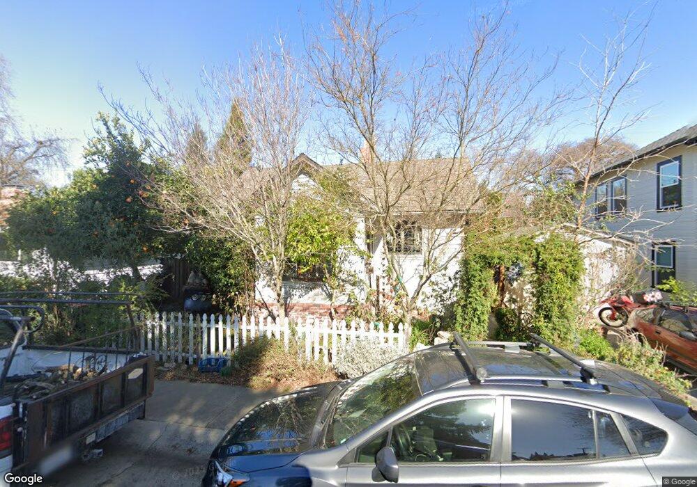
837 9th Ave Sacramento, CA 95818
Upper Land Park NeighborhoodEstimated Value: $399,590 - $560,000
1
Bed
1
Bath
583
Sq Ft
$792/Sq Ft
Est. Value
About This Home
This home is located at 837 9th Ave, Sacramento, CA 95818 and is currently estimated at $461,648, approximately $791 per square foot. 837 9th Ave is a home located in Sacramento County with nearby schools including Crocker/Riverside Elementary School, California Middle, and C. K. McClatchy High.
Ownership History
Date
Name
Owned For
Owner Type
Purchase Details
Closed on
Oct 31, 2012
Sold by
Lee Stephan J
Bought by
Lee Stephan J and Lee Edna
Current Estimated Value
Home Financials for this Owner
Home Financials are based on the most recent Mortgage that was taken out on this home.
Original Mortgage
$134,000
Outstanding Balance
$92,772
Interest Rate
3.43%
Mortgage Type
New Conventional
Estimated Equity
$368,876
Purchase Details
Closed on
May 30, 2008
Sold by
Mendoza Henry and Estate Of Cy Mendoza
Bought by
Lee Stephan J
Create a Home Valuation Report for This Property
The Home Valuation Report is an in-depth analysis detailing your home's value as well as a comparison with similar homes in the area
Home Values in the Area
Average Home Value in this Area
Purchase History
| Date | Buyer | Sale Price | Title Company |
|---|---|---|---|
| Lee Stephan J | -- | Stewart Title Of Sacramento | |
| Lee Stephan J | $201,000 | Stewart Title Of Sacramento |
Source: Public Records
Mortgage History
| Date | Status | Borrower | Loan Amount |
|---|---|---|---|
| Open | Lee Stephan J | $134,000 |
Source: Public Records
Tax History Compared to Growth
Tax History
| Year | Tax Paid | Tax Assessment Tax Assessment Total Assessment is a certain percentage of the fair market value that is determined by local assessors to be the total taxable value of land and additions on the property. | Land | Improvement |
|---|---|---|---|---|
| 2025 | $3,097 | $264,001 | $212,784 | $51,217 |
| 2024 | $3,097 | $258,825 | $208,612 | $50,213 |
| 2023 | $3,023 | $253,751 | $204,522 | $49,229 |
| 2022 | $2,971 | $248,776 | $200,512 | $48,264 |
| 2021 | $2,830 | $243,899 | $196,581 | $47,318 |
| 2020 | $2,852 | $241,399 | $194,566 | $46,833 |
| 2019 | $2,790 | $236,666 | $190,751 | $45,915 |
| 2018 | $2,717 | $232,026 | $187,011 | $45,015 |
| 2017 | $2,678 | $227,478 | $183,345 | $44,133 |
| 2016 | $2,625 | $223,018 | $179,750 | $43,268 |
| 2015 | $2,586 | $219,669 | $177,050 | $42,619 |
| 2014 | $2,334 | $199,198 | $160,548 | $38,650 |
Source: Public Records
Map
Nearby Homes
- 1032 10th Ave
- 849 8th Ave
- 710 7th Ave
- 3098 Riverside Blvd
- 2750 Moonflower St
- 2726 Moonflower St
- 625 Robertson Way
- 2825 Elderberry St
- The Argo Plan at The Estates at Newport
- The Baltic Plan at The Estates at Newport
- The Caspian Plan at The Estates at Newport
- The Dawson Plan at The Estates at Newport
- 1432 Teneighth Way
- 613 Swanston Dr
- 749 3rd Ave Unit 3
- 1259 Milano Dr Unit 2
- 1268 Milano Dr Unit 6
- 808 Fremont Way
- 1701 9th Ave
- 1300 Milano Dr Unit 7