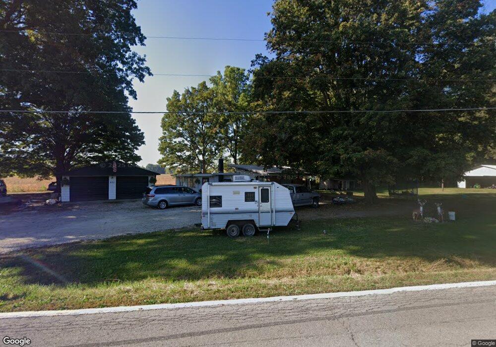
837 State Route 302 Ashland, OH 44805
Estimated Value: $153,643 - $259,000
2
Beds
1
Bath
1,216
Sq Ft
$161/Sq Ft
Est. Value
About This Home
This home is located at 837 State Route 302, Ashland, OH 44805 and is currently estimated at $196,161, approximately $161 per square foot. 837 State Route 302 is a home located in Ashland County with nearby schools including Mapleton Elementary School, Mapleton Middle School, and Mapleton High School.
Ownership History
Date
Name
Owned For
Owner Type
Purchase Details
Closed on
Sep 14, 2023
Sold by
Mcglothlin Elaine
Bought by
Davis Benjamin M
Current Estimated Value
Purchase Details
Closed on
Aug 30, 2022
Sold by
Baker Marjorie L
Bought by
Mcglothlin Elaine
Purchase Details
Closed on
Jul 21, 2022
Sold by
Baker Terry L and Baker Kelley E
Bought by
Baker Marjorie L
Purchase Details
Closed on
May 3, 2022
Sold by
Baker Marjorie L
Bought by
Baker Marjorie L and Baker Terry L
Purchase Details
Closed on
Jan 1, 1990
Bought by
Baker Marjorie L
Create a Home Valuation Report for This Property
The Home Valuation Report is an in-depth analysis detailing your home's value as well as a comparison with similar homes in the area
Home Values in the Area
Average Home Value in this Area
Purchase History
| Date | Buyer | Sale Price | Title Company |
|---|---|---|---|
| Davis Benjamin M | $81,250 | None Listed On Document | |
| Mcglothlin Elaine | -- | None Listed On Document | |
| Baker Marjorie L | -- | Hawks Nicole M | |
| Baker Marjorie L | -- | Hawks Nicole M | |
| Baker Marjorie L | -- | None Listed On Document | |
| Baker Marjorie L | -- | -- |
Source: Public Records
Tax History Compared to Growth
Tax History
| Year | Tax Paid | Tax Assessment Tax Assessment Total Assessment is a certain percentage of the fair market value that is determined by local assessors to be the total taxable value of land and additions on the property. | Land | Improvement |
|---|---|---|---|---|
| 2024 | $1,039 | $29,830 | $11,890 | $17,940 |
| 2023 | $989 | $36,020 | $11,890 | $24,130 |
| 2022 | $668 | $28,440 | $9,130 | $19,310 |
| 2021 | $670 | $28,440 | $9,130 | $19,310 |
| 2020 | $595 | $28,440 | $9,130 | $19,310 |
| 2019 | $490 | $24,660 | $9,060 | $15,600 |
| 2018 | $533 | $24,660 | $9,060 | $15,600 |
| 2017 | $543 | $24,660 | $9,060 | $15,600 |
| 2016 | $454 | $22,430 | $8,240 | $14,190 |
| 2015 | $423 | $22,430 | $8,240 | $14,190 |
| 2013 | $476 | $22,920 | $7,980 | $14,940 |
Source: Public Records
Map
Nearby Homes
- 900 County Road 801
- 885 State Route 58
- 829 County Road 801
- 99 Harold Dr
- 95 Harold Dr
- 1173 Township Road 753
- 32 Terrace Dr
- 16 Terrace Dr
- 67 Harold Dr
- 3 Terrace Dr
- 1191 State Route 511
- 1520 Orange Rd Unit 22
- 1520 Orange Rd
- 0 Westlake Dr
- 1438 Peachtree Dr
- 796 1101
- 1471 Troy Rd
- 945 Virginia Ave
- 1022 Union St
- 410 E 9th St
- 820 State Route 302
- 952 Township Road 813
- 810 State Route 302
- 940 State Route 58
- 950 Township Road 813
- 806 State Route 302
- 809 State Route 302
- 808 State Route 302
- 938 State Route 58
- 949 Township Road 813
- 963 Township Road 823
- 966 Township Road 823
- 956 Township Road 813
- 946 Ohio 58
- 805 Ohio 302
- 950 State Route 58
- 948 State Route 58
- 832 Township Road 974
- 830 Township Road 974
- 965 Township Road 823