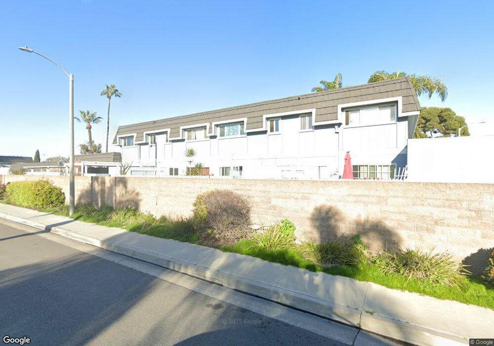
8381 Leeward Dr Huntington Beach, CA 92646
Southeast NeighborhoodEstimated Value: $840,047 - $884,000
2
Beds
2
Baths
1,270
Sq Ft
$681/Sq Ft
Est. Value
About This Home
This home is located at 8381 Leeward Dr, Huntington Beach, CA 92646 and is currently estimated at $865,262, approximately $681 per square foot. 8381 Leeward Dr is a home located in Orange County with nearby schools including S.A. Moffett Elementary School, Isaac L. Sowers Middle School, and Edison High School.
Ownership History
Date
Name
Owned For
Owner Type
Purchase Details
Closed on
Jan 28, 1998
Sold by
Joaquim Vanessa P
Bought by
Mcconnell Nancy L
Current Estimated Value
Home Financials for this Owner
Home Financials are based on the most recent Mortgage that was taken out on this home.
Original Mortgage
$149,323
Outstanding Balance
$26,411
Interest Rate
6.99%
Mortgage Type
FHA
Estimated Equity
$838,851
Create a Home Valuation Report for This Property
The Home Valuation Report is an in-depth analysis detailing your home's value as well as a comparison with similar homes in the area
Home Values in the Area
Average Home Value in this Area
Purchase History
| Date | Buyer | Sale Price | Title Company |
|---|---|---|---|
| Mcconnell Nancy L | $152,000 | Guaranty Title |
Source: Public Records
Mortgage History
| Date | Status | Borrower | Loan Amount |
|---|---|---|---|
| Open | Mcconnell Nancy L | $149,323 |
Source: Public Records
Tax History Compared to Growth
Tax History
| Year | Tax Paid | Tax Assessment Tax Assessment Total Assessment is a certain percentage of the fair market value that is determined by local assessors to be the total taxable value of land and additions on the property. | Land | Improvement |
|---|---|---|---|---|
| 2025 | $2,938 | $242,694 | $135,366 | $107,328 |
| 2024 | $2,938 | $237,936 | $132,712 | $105,224 |
| 2023 | $2,868 | $233,271 | $130,110 | $103,161 |
| 2022 | $2,790 | $228,698 | $127,559 | $101,139 |
| 2021 | $2,739 | $224,214 | $125,058 | $99,156 |
| 2020 | $2,719 | $221,915 | $123,775 | $98,140 |
| 2019 | $2,688 | $217,564 | $121,348 | $96,216 |
| 2018 | $2,646 | $213,299 | $118,969 | $94,330 |
| 2017 | $2,610 | $209,117 | $116,636 | $92,481 |
| 2016 | $2,500 | $205,017 | $114,349 | $90,668 |
| 2015 | $2,474 | $201,938 | $112,631 | $89,307 |
| 2014 | $2,421 | $197,983 | $110,425 | $87,558 |
Source: Public Records
Map
Nearby Homes
- 21131 Greenboro Ln
- 21032 Shepherd Ln
- 8401 Atlanta Ave
- 8633 Portola Ct Unit 18G
- 8438 Hibiscus Cir
- 8331 Snowbird Dr
- 8788 Coral Springs Ct Unit 203
- 21211 Poston Ln
- 8566 Larkhall Cir Unit 808A
- 8566 Larkhall Cir Unit 809D
- 7993 Aldea Cir
- 7988 Aldea Cir
- 8565 Larkhall Cir Unit 804A
- 21254 Lorca Cir Unit 51
- 21851 Newland St Unit 104
- 21851 Newland St Unit 255
- 21851 Newland St Unit 232
- 21851 Newland St Unit 44
- 21851 Newland St Unit 117
- 21851 Newland St Unit 109
- 8383 Leeward Dr
- 8379 Leeward Dr
- 8385 Leeward Dr
- 8386 Dory Dr
- 8389 Leeward Dr
- 8369 Leeward Dr
- 8388 Dory Dr
- 8373 Leeward Dr
- 8387 Leeward Dr
- 8382 Dory Dr
- 8391 Leeward Dr
- 8391 Leeward Dr
- 8375 Leeward Dr
- 8371 Leeward Dr
- 8377 Leeward Dr
- 8384 Dory Dr
- 8393 Leeward Dr
- 8394 Dory Dr
- 21181 Sailors Bay Ln
- 8395 Leeward Dr