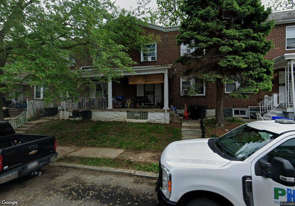
842 E Stafford St Philadelphia, PA 19138
East Germantown NeighborhoodEstimated Value: $133,678 - $182,000
3
Beds
1
Bath
1,200
Sq Ft
$136/Sq Ft
Est. Value
About This Home
This home is located at 842 E Stafford St, Philadelphia, PA 19138 and is currently estimated at $163,670, approximately $136 per square foot. 842 E Stafford St is a home located in Philadelphia County with nearby schools including Martin Luther King High School, Mastery Charter School - Francis D. Pastorius Elemen, and Imhotep Institute Charter High School.
Ownership History
Date
Name
Owned For
Owner Type
Purchase Details
Closed on
Jul 23, 1998
Sold by
Resources For Human Development Inc
Bought by
Echols Manya
Current Estimated Value
Purchase Details
Closed on
Sep 17, 1997
Sold by
Hud
Bought by
Resources For Human Development
Purchase Details
Closed on
Jul 7, 1997
Sold by
Fleet Mtg Corp
Bought by
Hud
Purchase Details
Closed on
Apr 7, 1997
Sold by
Green John D
Bought by
Fleet Mtg Corp
Create a Home Valuation Report for This Property
The Home Valuation Report is an in-depth analysis detailing your home's value as well as a comparison with similar homes in the area
Home Values in the Area
Average Home Value in this Area
Purchase History
| Date | Buyer | Sale Price | Title Company |
|---|---|---|---|
| Echols Manya | $50,000 | -- | |
| Resources For Human Development | $9,100 | -- | |
| Hud | -- | -- | |
| Fleet Mtg Corp | $22,000 | -- |
Source: Public Records
Tax History Compared to Growth
Tax History
| Year | Tax Paid | Tax Assessment Tax Assessment Total Assessment is a certain percentage of the fair market value that is determined by local assessors to be the total taxable value of land and additions on the property. | Land | Improvement |
|---|---|---|---|---|
| 2025 | $1,445 | $139,200 | $27,840 | $111,360 |
| 2024 | $1,445 | $139,200 | $27,840 | $111,360 |
| 2023 | $1,445 | $103,200 | $20,640 | $82,560 |
| 2022 | $358 | $58,200 | $20,640 | $37,560 |
| 2021 | $988 | $0 | $0 | $0 |
| 2020 | $988 | $0 | $0 | $0 |
| 2019 | $1,032 | $0 | $0 | $0 |
| 2018 | $1,055 | $0 | $0 | $0 |
| 2017 | $1,055 | $0 | $0 | $0 |
| 2016 | $636 | $0 | $0 | $0 |
| 2015 | $740 | $0 | $0 | $0 |
| 2014 | -- | $85,200 | $6,800 | $78,400 |
| 2012 | -- | $11,808 | $2,027 | $9,781 |
Source: Public Records
Map
Nearby Homes
- 857 E Stafford St
- 843 E Price St
- 5663 Boyer St
- 5655 Boyer St
- 5809 Chew Ave
- 5807 Chew Ave
- 837 E Woodlawn Ave
- 5640 Boyer St
- 5704 Sprague St
- 802 E Chelten Ave
- 863 E Chelten Ave
- 5617 Nelson St
- 5645 Nelson St
- 5641 Chew Ave
- 5628 Bloyd St
- 1008 E Chelten Ave
- 5611 Boyer St
- 6010 Avonhoe Rd
- 740 E Rittenhouse St
- 738 E Rittenhouse St
- 844 E Stafford St
- 840 E Stafford St
- 838 E Stafford St
- 846 E Stafford St
- 848 E Stafford St
- 843 E Stafford St
- 841 E Stafford St
- 845 E Stafford St
- 834 E Stafford St
- 841 E Chelten Ave
- 850 E Stafford St
- 847 E Stafford St
- 839 E Stafford St
- 835 E Chelten Ave
- 849 E Stafford St
- 837 E Stafford St
- 832 E Stafford St
- 852 E Stafford St
- 849 E Chelten Ave Unit 1
- 849 E Chelten Ave Unit 5