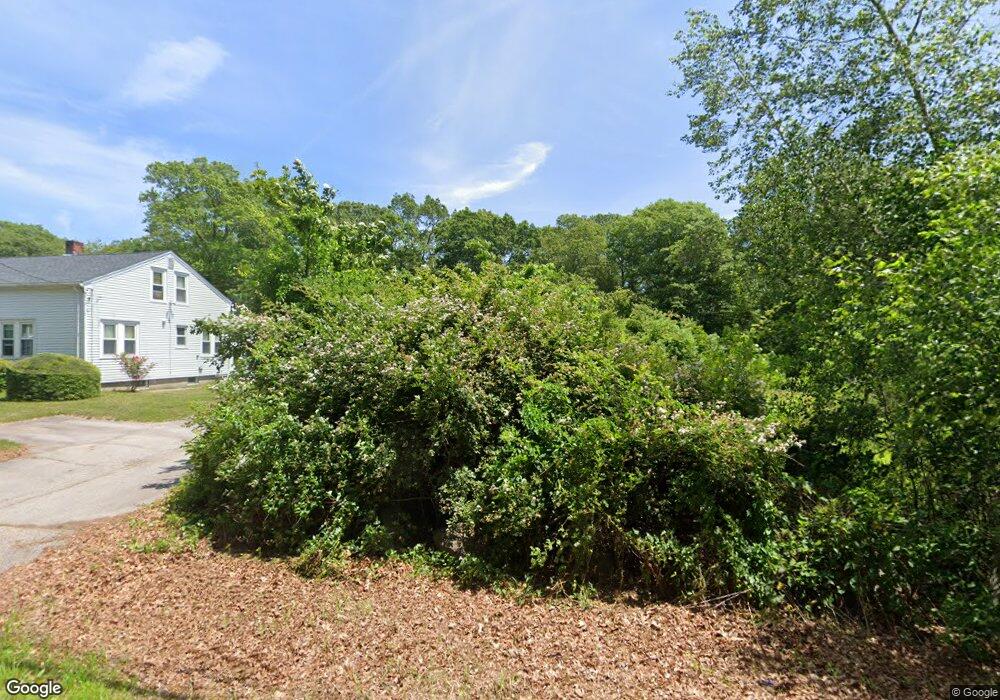
843 Broad Rock Rd Wakefield, RI 02879
Estimated Value: $264,000 - $1,706,000
--
Bed
1
Bath
--
Sq Ft
0.69
Acres
About This Home
This home is located at 843 Broad Rock Rd, Wakefield, RI 02879 and is currently estimated at $904,000. 843 Broad Rock Rd is a home located in Washington County with nearby schools including South Kingstown High School, Monsignor Matthew Clarke Catholic Regional School, and South Shore School.
Ownership History
Date
Name
Owned For
Owner Type
Purchase Details
Closed on
Sep 27, 2010
Sold by
Pepe William L and Pepe Joseph F
Bought by
Ccp 1 Llc
Current Estimated Value
Purchase Details
Closed on
Mar 16, 2004
Sold by
Pepe Calvin C
Bought by
Pepe William L
Home Financials for this Owner
Home Financials are based on the most recent Mortgage that was taken out on this home.
Original Mortgage
$9,000
Interest Rate
5.67%
Mortgage Type
Purchase Money Mortgage
Create a Home Valuation Report for This Property
The Home Valuation Report is an in-depth analysis detailing your home's value as well as a comparison with similar homes in the area
Home Values in the Area
Average Home Value in this Area
Purchase History
| Date | Buyer | Sale Price | Title Company |
|---|---|---|---|
| Ccp 1 Llc | -- | -- | |
| Pepe William L | $19,000 | -- |
Source: Public Records
Mortgage History
| Date | Status | Borrower | Loan Amount |
|---|---|---|---|
| Previous Owner | Pepe William L | $9,000 |
Source: Public Records
Tax History Compared to Growth
Tax History
| Year | Tax Paid | Tax Assessment Tax Assessment Total Assessment is a certain percentage of the fair market value that is determined by local assessors to be the total taxable value of land and additions on the property. | Land | Improvement |
|---|---|---|---|---|
| 2025 | $1,644 | $183,900 | $183,900 | $0 |
| 2024 | $1,561 | $141,300 | $141,300 | $0 |
| 2023 | $1,561 | $141,300 | $141,300 | $0 |
| 2022 | $1,547 | $141,300 | $141,300 | $0 |
| 2021 | $1,681 | $116,300 | $116,300 | $0 |
| 2020 | $1,681 | $116,300 | $116,300 | $0 |
| 2019 | $1,681 | $116,300 | $116,300 | $0 |
| 2018 | $1,762 | $112,400 | $112,400 | $0 |
| 2017 | $1,721 | $112,400 | $112,400 | $0 |
| 2016 | $1,696 | $112,400 | $112,400 | $0 |
| 2015 | $1,642 | $105,800 | $105,800 | $0 |
| 2014 | $1,638 | $105,800 | $105,800 | $0 |
Source: Public Records
Map
Nearby Homes
- 229 Saugatucket Rd
- 294 Rose Hill Rd
- 918 Saugatucket Rd
- 957 Saugatucket Rd
- 0 Indian Trail Trail S Unit 1389828
- 95 S Woods Dr
- 128 North Rd
- 0 Johnny Cake Trail Trail S Unit 1391340
- 70 Broad Rock Rd
- 3 Larkin St
- 1081 Mooresfield Rd
- 53 Rocky Brook Way
- 1810 Kingstown Rd
- 40 Amos St
- 73 Camden Ct
- 14 Vespia Ln Unit B
- 0 Vespia Dr Unit 1317499
- 42 Vespia Ln
- 50 Vespia Ln
- 54 Vespia Ln
- 806 Broad Rock Rd
- 451 Broad Rock Rd
- 80 Broad Rock Rd
- 0 Woodmist Cir Unit 1048689
- 0 Woodmist Cir Unit 1037201
- 853 Broad Rock Rd
- 15 Woodmist Cir
- 829 Broad Rock Rd
- 863 Broad Rock Rd
- 824 Broad Rock Rd
- 871 Broad Rock Rd
- 815 Broad Rock Rd
- 30 Woodmist Cir
- 889 Broad Rock Rd
- 882 Broad Rock Rd
- 804 Broad Rock Rd
- 892 Broad Rock Rd
- 35 Woodmist Cir
- 791 Broad Rock Rd
- 901 Broad Rock Rd