844 Barnhart Rd Fort Defiance, VA 24437
Estimated Value: $355,940 - $390,000
3
Beds
2
Baths
576
Sq Ft
$652/Sq Ft
Est. Value
About This Home
This home is located at 844 Barnhart Rd, Fort Defiance, VA 24437 and is currently estimated at $375,485, approximately $651 per square foot. 844 Barnhart Rd is a home located in Augusta County with nearby schools including Edward G. Clymore Elementary School, S. Gordon Stewart Middle School, and Fort Defiance High School.
Ownership History
Date
Name
Owned For
Owner Type
Purchase Details
Closed on
Apr 29, 2014
Sold by
Currier Sherrill
Bought by
Murray Ray E and Murray Deborah K
Current Estimated Value
Home Financials for this Owner
Home Financials are based on the most recent Mortgage that was taken out on this home.
Original Mortgage
$203,061
Outstanding Balance
$154,698
Interest Rate
4.32%
Mortgage Type
New Conventional
Estimated Equity
$220,787
Create a Home Valuation Report for This Property
The Home Valuation Report is an in-depth analysis detailing your home's value as well as a comparison with similar homes in the area
Home Values in the Area
Average Home Value in this Area
Purchase History
| Date | Buyer | Sale Price | Title Company |
|---|---|---|---|
| Murray Ray E | $194,900 | Attorney |
Source: Public Records
Mortgage History
| Date | Status | Borrower | Loan Amount |
|---|---|---|---|
| Open | Murray Ray E | $203,061 |
Source: Public Records
Tax History Compared to Growth
Tax History
| Year | Tax Paid | Tax Assessment Tax Assessment Total Assessment is a certain percentage of the fair market value that is determined by local assessors to be the total taxable value of land and additions on the property. | Land | Improvement |
|---|---|---|---|---|
| 2025 | $1,392 | $267,700 | $65,000 | $202,700 |
| 2024 | $1,340 | $257,700 | $55,000 | $202,700 |
| 2023 | $1,319 | $209,400 | $63,500 | $145,900 |
| 2022 | $1,319 | $209,400 | $63,500 | $145,900 |
| 2021 | $1,319 | $209,400 | $63,500 | $145,900 |
| 2020 | $1,319 | $209,400 | $63,500 | $145,900 |
| 2019 | $1,319 | $209,400 | $63,500 | $145,900 |
| 2018 | $1,228 | $194,877 | $63,500 | $131,377 |
| 2017 | $1,130 | $194,877 | $63,500 | $131,377 |
| 2016 | $1,130 | $194,877 | $63,500 | $131,377 |
| 2015 | $998 | $194,877 | $63,500 | $131,377 |
| 2014 | $998 | $194,877 | $63,500 | $131,377 |
| 2013 | $998 | $208,000 | $63,500 | $144,500 |
Source: Public Records
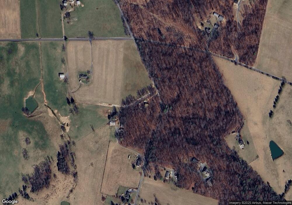
Map
Nearby Homes
- TBD Samsons Cir
- 1430 E Side Hwy
- 2062 E Side Hwy
- 630 Battlefield Rd
- TBD Crimora Mine Rd
- TBD E Side Hwy
- TBD Lake Dr
- TBD Rock Mountain Ln
- 2106 Laurel Hill Rd
- 3392 E Side Hwy
- 77 Laurel Wood Dr
- 1.78 acres Trayfoot Rd
- 15 Lady Slipper Dr
- 64 Northwood Dr
- 114 Laurel Wood Dr
- 41 Lady Slipper Dr
- 376 Trayfoot Rd
- 539 Oak Grove Church Rd
- 3581 E Side Hwy
- 37 Auburn Dr
- 788 Barnhart Rd
- 786 Barnhart Rd
- 785 Barnhart Rd
- 789 Barnhart Rd
- 764 Barnhart Rd
- 980 Round Hill School Rd
- 983 Round Hill School Rd
- 752 Barnhart Rd
- 747 Barnhart Rd
- 739 Barnhart Rd
- 866 Round Hill School Rd
- TBD Barnhart Rd
- 725 Barnhart Rd
- 717 Barnhart Rd
- 1002 Round Hill School Rd
- 1076 Round Hill School Rd
- 1022 Round Hill School Rd
- 721 Barnhart Rd
- 677 Barnhart Rd
- 720 Barnhart Rd