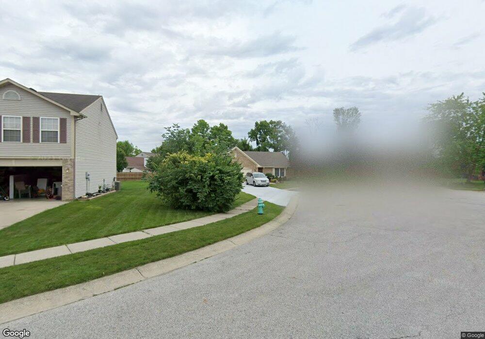
8449 Silverado Dr Indianapolis, IN 46237
South Franklin NeighborhoodEstimated Value: $258,000 - $273,000
3
Beds
2
Baths
1,467
Sq Ft
$182/Sq Ft
Est. Value
About This Home
This home is located at 8449 Silverado Dr, Indianapolis, IN 46237 and is currently estimated at $267,675, approximately $182 per square foot. 8449 Silverado Dr is a home located in Marion County with nearby schools including Franklin Central High School, Curtis Wilson Primary School and Academy, and Southport Presbyterian Christian School.
Ownership History
Date
Name
Owned For
Owner Type
Purchase Details
Closed on
Jul 19, 2011
Sold by
Lawrance Scott and Lawrance Megan L
Bought by
Fuss Donna Lyn
Current Estimated Value
Purchase Details
Closed on
Mar 9, 2005
Sold by
Hacker Nathan A and Hacker Lori A
Bought by
Lawrence Scott and Pearl Megan L
Home Financials for this Owner
Home Financials are based on the most recent Mortgage that was taken out on this home.
Original Mortgage
$11,250
Interest Rate
5.7%
Mortgage Type
New Conventional
Create a Home Valuation Report for This Property
The Home Valuation Report is an in-depth analysis detailing your home's value as well as a comparison with similar homes in the area
Home Values in the Area
Average Home Value in this Area
Purchase History
| Date | Buyer | Sale Price | Title Company |
|---|---|---|---|
| Fuss Donna Lyn | -- | Chicago Title Insurance Co | |
| Lawrence Scott | -- | None Available |
Source: Public Records
Mortgage History
| Date | Status | Borrower | Loan Amount |
|---|---|---|---|
| Previous Owner | Lawrence Scott | $11,250 |
Source: Public Records
Tax History Compared to Growth
Tax History
| Year | Tax Paid | Tax Assessment Tax Assessment Total Assessment is a certain percentage of the fair market value that is determined by local assessors to be the total taxable value of land and additions on the property. | Land | Improvement |
|---|---|---|---|---|
| 2024 | $2,318 | $231,800 | $27,400 | $204,400 |
| 2023 | $2,227 | $211,900 | $27,400 | $184,500 |
| 2022 | $2,225 | $211,900 | $27,400 | $184,500 |
| 2021 | $1,817 | $171,400 | $27,400 | $144,000 |
| 2020 | $1,730 | $162,900 | $27,400 | $135,500 |
| 2019 | $1,643 | $154,400 | $21,800 | $132,600 |
| 2018 | $1,469 | $137,300 | $21,800 | $115,500 |
| 2017 | $1,372 | $127,800 | $21,800 | $106,000 |
| 2016 | $1,324 | $123,200 | $21,800 | $101,400 |
| 2014 | $1,056 | $105,600 | $21,800 | $83,800 |
| 2013 | $976 | $96,500 | $21,800 | $74,700 |
Source: Public Records
Map
Nearby Homes
- 8241 Morera Ct
- 8223 Morera Ct
- 8437 Crosser Dr
- 8135 Borland Dr
- 8451 S Arlington Ave
- 6540 Jarvis Dr
- 6557 Jarvis Dr
- 8105 Milender Blvd
- 8434 Smithfield Ln
- 6552 Locust Grove Dr
- 6634 Frankenberger Dr
- 8056 Milender Blvd
- 8414 Kirklin Ct
- 6527 Southern Ridge Dr
- 8155 River Mist Ln
- 6703 Locust Grove Dr
- 8418 Flick Way
- 5938 Marina View Ln
- 8251 Garden Ridge Rd
- 5912 Marina View Dr
- 8453 Silverado Dr
- 8437 Silverado Dr
- 8458 Amarillo Dr
- 8502 Amarillo Dr
- 8452 Amarillo Dr
- 8446 Amarillo Dr
- 8454 Silverado Dr
- 6242 Royal Alley Place
- 8450 Silverado Dr
- 8438 Amarillo Dr
- 8446 Silverado Dr
- 6327 Lonestar Dr
- 8440 Silverado Dr
- 8434 Silverado Dr
- 6234 Royal Alley Place
- 8428 Silverado Dr
- 8447 Amarillo Dr
- 6250 Royal Alley Place
- 6333 Lonestar Dr
- 8422 Silverado Dr