846 Airport Rd Winchester, VA 22602
Estimated Value: $312,000 - $524,000
3
Beds
4
Baths
2,460
Sq Ft
$159/Sq Ft
Est. Value
About This Home
This home is located at 846 Airport Rd, Winchester, VA 22602 and is currently estimated at $391,000, approximately $158 per square foot. 846 Airport Rd is a home located in Frederick County with nearby schools including Armel Elementary School, Admiral Richard E. Byrd Middle School, and Millbrook High School.
Ownership History
Date
Name
Owned For
Owner Type
Purchase Details
Closed on
Dec 22, 2021
Sold by
Robinson Deborah A
Bought by
Andrew Kotlowski Revocable Trust
Current Estimated Value
Create a Home Valuation Report for This Property
The Home Valuation Report is an in-depth analysis detailing your home's value as well as a comparison with similar homes in the area
Home Values in the Area
Average Home Value in this Area
Purchase History
| Date | Buyer | Sale Price | Title Company |
|---|---|---|---|
| Andrew Kotlowski Revocable Trust | $450,000 | Harrison & Johnston Plc | |
| Andrew Kotlowski Revocable Tru | $450,000 | Harrison & Johnston Plc |
Source: Public Records
Tax History Compared to Growth
Tax History
| Year | Tax Paid | Tax Assessment Tax Assessment Total Assessment is a certain percentage of the fair market value that is determined by local assessors to be the total taxable value of land and additions on the property. | Land | Improvement |
|---|---|---|---|---|
| 2025 | $683 | $142,200 | $136,000 | $6,200 |
| 2024 | $1,366 | $535,600 | $120,000 | $415,600 |
| 2023 | $2,732 | $535,600 | $120,000 | $415,600 |
| 2022 | $2,741 | $449,300 | $113,000 | $336,300 |
| 2021 | $2,741 | $449,300 | $113,000 | $336,300 |
| 2020 | $2,517 | $412,700 | $113,000 | $299,700 |
| 2019 | $2,517 | $412,700 | $113,000 | $299,700 |
| 2018 | $2,284 | $374,400 | $112,600 | $261,800 |
| 2017 | $2,246 | $374,400 | $112,600 | $261,800 |
| 2016 | $2,092 | $348,600 | $99,700 | $248,900 |
| 2015 | $1,952 | $348,600 | $99,700 | $248,900 |
| 2014 | $959 | $325,400 | $99,700 | $225,700 |
Source: Public Records
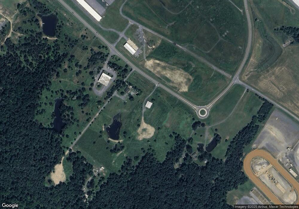
Map
Nearby Homes
- 1080 Airport Rd
- 368 Victory Rd
- 109 Shelby Ct
- 128 Longcroft Rd
- 113 Maury Way
- 1327 Front Royal Pike
- 109 Boone Ct
- 0 Front Royal Pike
- 298 Bufflick Rd
- Lot 1 WILDE Acres
- 125 Alliance Ct
- 121 Poe Dr
- 280 Costello
- 128 Raven Oaks Dr
- 108 Kinross Dr
- 121 Raven Oaks Dr
- 206 Covey Ln
- 105 Lenore Ln
- 123 Etnam St
- 461 Imperial St
- 816 Airport Rd
- 918 Airport Rd
- 820 Airport Rd
- 321327 Arbor Ct
- 0 Airport Rd
- 645 Airport Rd
- 818 Airport Rd
- 780 Airport Rd
- 741 Airport Rd Unit 1
- 730 Airport Rd
- 950 Airport Rd
- 225 Aviation Dr
- 0 Tailspin Cir Unit 1003221398
- 154 Tailspin Cir
- 150 Tailspin Cir Unit 140152154
- 291 Independence Rd
- 1050 Airport Rd
- 289 Independence Rd
- 289 Independence Rd Unit 2
- 289 Independence Rd Unit 2