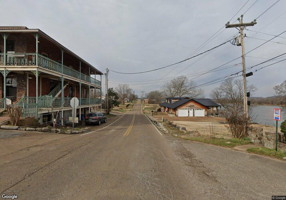
8489 Hwy 128 Clifton, TN 38425
--
Bed
--
Bath
--
Sq Ft
16.2
Acres
About This Home
This home is located at 8489 Hwy 128, Clifton, TN 38425. 8489 Hwy 128 is a home located in Perry County.
Ownership History
Date
Name
Owned For
Owner Type
Purchase Details
Closed on
Jul 11, 2023
Sold by
Frye Richard J
Bought by
West Tennessee River Camp Llc
Purchase Details
Closed on
Apr 14, 2021
Sold by
Frye Richard J
Bought by
Gregory Diane
Home Financials for this Owner
Home Financials are based on the most recent Mortgage that was taken out on this home.
Original Mortgage
$27,000
Interest Rate
3%
Mortgage Type
Purchase Money Mortgage
Purchase Details
Closed on
Dec 12, 2019
Sold by
Frye Richard J
Bought by
Gregory Diane
Home Financials for this Owner
Home Financials are based on the most recent Mortgage that was taken out on this home.
Original Mortgage
$35,000
Interest Rate
3.7%
Mortgage Type
Seller Take Back
Purchase Details
Closed on
Oct 28, 2019
Sold by
Frye Richard J
Bought by
Dunham Dale
Home Financials for this Owner
Home Financials are based on the most recent Mortgage that was taken out on this home.
Original Mortgage
$35,000
Interest Rate
3.7%
Mortgage Type
Seller Take Back
Create a Home Valuation Report for This Property
The Home Valuation Report is an in-depth analysis detailing your home's value as well as a comparison with similar homes in the area
Home Values in the Area
Average Home Value in this Area
Purchase History
| Date | Buyer | Sale Price | Title Company |
|---|---|---|---|
| West Tennessee River Camp Llc | $81,000 | None Listed On Document | |
| West Tennessee River Camp Llc | -- | None Listed On Document | |
| West Tennessee River Camp Llc | -- | None Listed On Document | |
| Gregory Diane | $27,000 | None Available | |
| Gregory Diane | $35,000 | None Available | |
| Dunham Dale | $42,000 | None Available |
Source: Public Records
Mortgage History
| Date | Status | Borrower | Loan Amount |
|---|---|---|---|
| Previous Owner | Gregory Diane | $27,000 | |
| Previous Owner | Gregory Diane | $35,000 | |
| Previous Owner | Dunham Dale | $42,000 |
Source: Public Records
Tax History Compared to Growth
Tax History
| Year | Tax Paid | Tax Assessment Tax Assessment Total Assessment is a certain percentage of the fair market value that is determined by local assessors to be the total taxable value of land and additions on the property. | Land | Improvement |
|---|---|---|---|---|
| 2025 | $35 | $1,525 | $0 | $0 |
| 2024 | $35 | $1,525 | $1,525 | $0 |
| 2023 | $35 | $1,525 | $1,525 | $0 |
| 2022 | $35 | $1,525 | $1,525 | $0 |
| 2021 | $146 | $14,150 | $14,150 | $0 |
| 2020 | $146 | $6,350 | $6,350 | $0 |
| 2019 | $170 | $6,850 | $6,850 | $0 |
| 2018 | $127 | $6,850 | $6,850 | $0 |
| 2017 | $126 | $5,125 | $5,125 | $0 |
| 2016 | $297 | $5,125 | $5,125 | $0 |
| 2015 | $291 | $12,125 | $12,125 | $0 |
| 2014 | $291 | $12,125 | $12,125 | $0 |
| 2013 | $274 | $11,421 | $0 | $0 |
Source: Public Records
Map
Nearby Homes
- 0 New Era Ridge Rd Unit RTC2991826
- 0 New Era Ridge Rd Unit 25219806
- 0 Sewell Branch Rd
- 3202 Lego School Rd
- 555 New Era Bluff Rd
- 1 New Era Landing Rd
- 0 Phillips Rd
- 0 New Era Landing Unit 17800450
- 0 New Era Landing Unit RTC2554791
- 351 New Era Landing Rd
- 468 Phillips Rd
- 1040 Whites Creek Ln
- 91 Creekside View Ln
- 168 Mackin Rd
- 7525 Mount Carmel Rd
- 224 Peters Landing Rd
- 2 Kellys Landing Dr
- 3 Kellys Landing Rd
- 1 Kellys Landing Rd
- Lot 1 Kellys Landing Rd
- 8489 Highway 128
- 8489 Highway 128
- 8589 Highway 128
- 1210 Chapel Farm Rd
- 8339 Highway 128
- 8729 Tennessee 128
- 8729 Tennessee 128
- 480 Sewell Branch Rd
- 8170 Highway 128
- 507 New Era Ridge Rd
- 375 New Era Ridge Rd
- 0 Chapel Farm Rd Unit 1689586
- 0 Chapel Farm Rd Unit 1817351
- Clifton Rd
- 191 New Era Ridge Rd
- 0 New Era Ridge Rd Unit 24711430
- 0 New Era Ridge Rd Unit 23063687
- 51 New Era Ridge Rd
- 310 New Era Ridge Rd
- 0 Sewell Branch Rd Unit 1830330