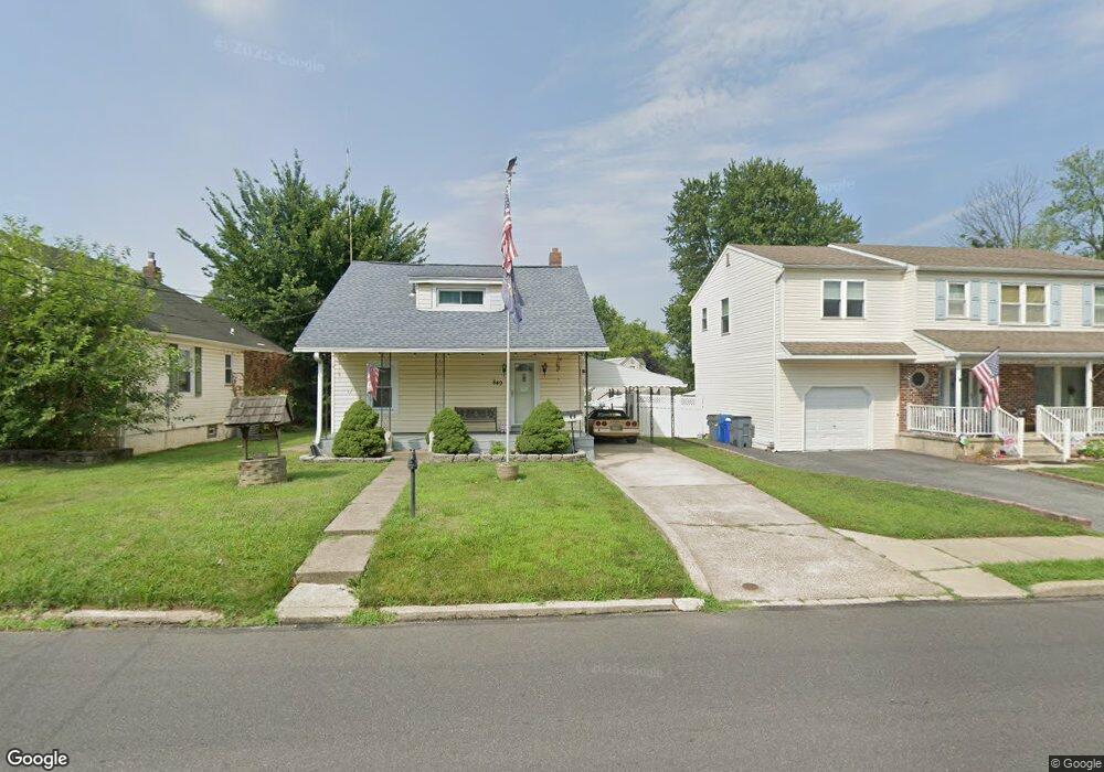
849 Amosland Rd Morton, PA 19070
Estimated Value: $286,000 - $344,000
3
Beds
2
Baths
1,117
Sq Ft
$279/Sq Ft
Est. Value
About This Home
This home is located at 849 Amosland Rd, Morton, PA 19070 and is currently estimated at $311,859, approximately $279 per square foot. 849 Amosland Rd is a home located in Delaware County with nearby schools including Amosland El School, Ridley Middle School, and Ridley High School.
Ownership History
Date
Name
Owned For
Owner Type
Purchase Details
Closed on
Jan 18, 2019
Sold by
Clark Jay W and Clark Jay W
Bought by
Clark Jay W
Current Estimated Value
Home Financials for this Owner
Home Financials are based on the most recent Mortgage that was taken out on this home.
Original Mortgage
$102,500
Outstanding Balance
$65,466
Interest Rate
4.6%
Mortgage Type
New Conventional
Estimated Equity
$246,393
Purchase Details
Closed on
Aug 26, 1983
Sold by
Decino Anthony and Decino Dolores
Bought by
Clark Jay W and Clark Dorothy E
Create a Home Valuation Report for This Property
The Home Valuation Report is an in-depth analysis detailing your home's value as well as a comparison with similar homes in the area
Home Values in the Area
Average Home Value in this Area
Purchase History
| Date | Buyer | Sale Price | Title Company |
|---|---|---|---|
| Clark Jay W | -- | None Available | |
| Clark Jay W | $60,000 | -- |
Source: Public Records
Mortgage History
| Date | Status | Borrower | Loan Amount |
|---|---|---|---|
| Open | Clark Jay W | $102,500 |
Source: Public Records
Tax History Compared to Growth
Tax History
| Year | Tax Paid | Tax Assessment Tax Assessment Total Assessment is a certain percentage of the fair market value that is determined by local assessors to be the total taxable value of land and additions on the property. | Land | Improvement |
|---|---|---|---|---|
| 2025 | $5,813 | $167,410 | $55,070 | $112,340 |
| 2024 | $5,813 | $167,410 | $55,070 | $112,340 |
| 2023 | $5,560 | $167,410 | $55,070 | $112,340 |
| 2022 | $5,382 | $167,410 | $55,070 | $112,340 |
| 2021 | $8,331 | $167,410 | $55,070 | $112,340 |
| 2020 | $4,957 | $87,740 | $33,060 | $54,680 |
| 2019 | $4,866 | $87,740 | $33,060 | $54,680 |
| 2018 | $4,805 | $87,740 | $0 | $0 |
| 2017 | $4,805 | $87,740 | $0 | $0 |
| 2016 | $482 | $87,740 | $0 | $0 |
| 2015 | $482 | $87,740 | $0 | $0 |
| 2014 | $482 | $87,740 | $0 | $0 |
Source: Public Records
Map
Nearby Homes
- 742 Agnes Ave
- 136 Linden Ave
- 31 Silver Lake Terrace Unit 32
- 916 Brooke Ave
- 216-218 President Ave
- 115 President Ave
- 810 Quince Ln
- 2 Yale Ave
- 7 & 0 Woodland Ave
- 120 Bridge St
- 226 W Sylvan Ave
- 2330 Poe Rd
- 15 Sycamore Ave
- 668 Hutchinson Terrace
- 601 Country Ln
- 111 Broad St
- 880 Quaint St
- 339 Sutton Ave
- 1828 5th Ave
- 2379 Mole Rd
- 855 Amosland Rd
- 1932 Haig Ave
- 845 Amosland Rd
- 1926 Haig Ave
- 837 Amosland Rd
- 847 Amosland Rd
- 848 Amosland Rd
- 901 Amosland Rd
- 1922 Haig Ave
- 1935 Pershing Ave
- 1925 Pershing Ave
- 2100 Haig Ave
- 840 Amosland Rd
- 834 Amosland Rd
- 905 Amosland Rd
- 832 Amosland Rd
- 1935 Haig Ave
- 1927 Haig Ave
- 909 Amosland Rd
- 904 Amosland Rd