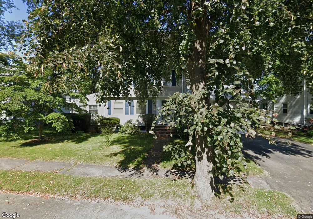
85 Betts Rd Belmont, MA 02478
Cushing Square NeighborhoodEstimated Value: $1,486,000 - $1,598,980
3
Beds
3
Baths
1,776
Sq Ft
$868/Sq Ft
Est. Value
About This Home
This home is located at 85 Betts Rd, Belmont, MA 02478 and is currently estimated at $1,542,245, approximately $868 per square foot. 85 Betts Rd is a home located in Middlesex County with nearby schools including Mary Lee Burbank Elementary School, Winthrop L Chenery Middle School, and Belmont High School.
Ownership History
Date
Name
Owned For
Owner Type
Purchase Details
Closed on
Aug 15, 1997
Sold by
Binder Estelle
Bought by
Green Amanda C and Green William H
Current Estimated Value
Home Financials for this Owner
Home Financials are based on the most recent Mortgage that was taken out on this home.
Original Mortgage
$249,000
Outstanding Balance
$37,388
Interest Rate
7.56%
Mortgage Type
Purchase Money Mortgage
Estimated Equity
$1,504,857
Create a Home Valuation Report for This Property
The Home Valuation Report is an in-depth analysis detailing your home's value as well as a comparison with similar homes in the area
Home Values in the Area
Average Home Value in this Area
Purchase History
| Date | Buyer | Sale Price | Title Company |
|---|---|---|---|
| Green Amanda C | $360,000 | -- |
Source: Public Records
Mortgage History
| Date | Status | Borrower | Loan Amount |
|---|---|---|---|
| Open | Green Amanda C | $249,000 | |
| Closed | Green Amanda C | $75,000 |
Source: Public Records
Tax History Compared to Growth
Tax History
| Year | Tax Paid | Tax Assessment Tax Assessment Total Assessment is a certain percentage of the fair market value that is determined by local assessors to be the total taxable value of land and additions on the property. | Land | Improvement |
|---|---|---|---|---|
| 2025 | $15,935 | $1,399,000 | $816,000 | $583,000 |
| 2024 | $15,639 | $1,481,000 | $1,017,000 | $464,000 |
| 2023 | $14,736 | $1,311,000 | $888,000 | $423,000 |
| 2022 | $14,196 | $1,228,000 | $834,000 | $394,000 |
| 2021 | $13,802 | $1,196,000 | $869,000 | $327,000 |
| 2020 | $12,969 | $1,179,000 | $852,000 | $327,000 |
| 2019 | $10,993 | $942,000 | $633,000 | $309,000 |
| 2018 | $8,427 | $884,000 | $575,000 | $309,000 |
| 2017 | $5,935 | $837,000 | $528,000 | $309,000 |
| 2016 | $10,475 | $834,000 | $528,000 | $306,000 |
| 2015 | $9,611 | $745,000 | $439,000 | $306,000 |
Source: Public Records
Map
Nearby Homes
- 36 Madison St
- 105 Watson Rd
- 73 Foster Rd Unit 2
- 118 Blanchard Rd
- 276 Belmont St Unit 1
- 30 Unity Ave Unit 30
- 48 Concord Ave
- 10 Marlboro St Unit 1
- 4 Merrill Ave
- 133 Hillside Rd
- 163 Belmont St
- 161 Cushing St
- 56-58 Edgecliff Rd
- 15 Sunset Rd
- 48 Hamilton Rd
- 46 Hamilton Rd
- 87 Templeton Pkwy Unit 3
- 263 Common St
- 16 Ericsson St
- 125 Trapelo Rd Unit 21