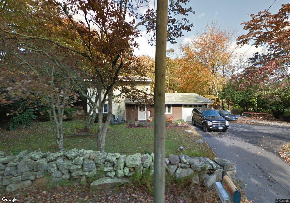
85 Forsyth Rd Oakdale, CT 06370
Estimated Value: $315,000 - $406,000
4
Beds
2
Baths
1,700
Sq Ft
$213/Sq Ft
Est. Value
About This Home
This home is located at 85 Forsyth Rd, Oakdale, CT 06370 and is currently estimated at $362,296, approximately $213 per square foot. 85 Forsyth Rd is a home located in New London County with nearby schools including Leonard J. Tyl Middle School and Montville High School.
Ownership History
Date
Name
Owned For
Owner Type
Purchase Details
Closed on
Oct 14, 1999
Sold by
Guitar Leonard G and Guitar Gordon J
Bought by
Hashagen Richard A
Current Estimated Value
Purchase Details
Closed on
Sep 22, 1993
Sold by
Artwell Russell N and Artwell Maria
Bought by
Murtha Michael J
Home Financials for this Owner
Home Financials are based on the most recent Mortgage that was taken out on this home.
Original Mortgage
$99,225
Interest Rate
7.1%
Mortgage Type
Purchase Money Mortgage
Create a Home Valuation Report for This Property
The Home Valuation Report is an in-depth analysis detailing your home's value as well as a comparison with similar homes in the area
Home Values in the Area
Average Home Value in this Area
Purchase History
| Date | Buyer | Sale Price | Title Company |
|---|---|---|---|
| Hashagen Richard A | $376,000 | -- | |
| Murtha Michael J | $98,000 | -- | |
| Murtha Michael J | $98,000 | -- |
Source: Public Records
Mortgage History
| Date | Status | Borrower | Loan Amount |
|---|---|---|---|
| Closed | Murtha Michael J | $44,000 | |
| Previous Owner | Murtha Michael J | $99,225 |
Source: Public Records
Tax History Compared to Growth
Tax History
| Year | Tax Paid | Tax Assessment Tax Assessment Total Assessment is a certain percentage of the fair market value that is determined by local assessors to be the total taxable value of land and additions on the property. | Land | Improvement |
|---|---|---|---|---|
| 2025 | $3,712 | $128,590 | $34,300 | $94,290 |
| 2024 | $3,571 | $128,590 | $34,300 | $94,290 |
| 2023 | $3,571 | $128,590 | $34,300 | $94,290 |
| 2022 | $3,435 | $128,590 | $34,300 | $94,290 |
| 2021 | $3,524 | $110,980 | $30,560 | $80,420 |
| 2020 | $3,594 | $110,980 | $30,560 | $80,420 |
| 2019 | $3,608 | $110,980 | $30,560 | $80,420 |
| 2018 | $3,521 | $110,980 | $30,560 | $80,420 |
| 2017 | $3,518 | $110,980 | $30,560 | $80,420 |
| 2016 | $3,674 | $120,030 | $38,230 | $81,800 |
| 2015 | $3,674 | $120,030 | $38,230 | $81,800 |
| 2014 | $3,525 | $120,030 | $38,230 | $81,800 |
Source: Public Records
Map
Nearby Homes
- 485 Chapel Hill Rd
- 15 Forsyth Rd
- 1300 Old Colchester Rd
- 94 Massachusetts Rd
- 17 Manor Rd
- 211 Forsyth Rd
- 385 Oxoboxo Dam Rd
- 33D Laurel Point Dr
- 33A Laurel Point Dr
- 53 Lake Dr
- 8 Eddy Ct
- 1578 Old Colchester Rd
- 1399 Route 163
- 56 Evergreen Ln
- 12 Church Rd
- 89 Harris Road Extension
- 36 Beechwood Rd
- 52 Lake View Ave
- 156 Old Colchester Rd
- 113 Horse Pond Rd Unit B
- 89 Forsyth Rd
- 93 Forsyth Rd
- 97 Forsyth Rd
- 105 Forsyth Rd
- 81 Forsyth Rd
- 86 Forsyth Rd
- 101 Forsyth Rd
- 80 Forsyth Rd
- 74 Forsyth Rd
- 94 Forsyth Rd
- 100 Forsyth Rd
- 68 Forsyth Rd
- 503 Chapel Hill Rd
- 113 Forsyth Rd
- 504 Chapel Hill Rd
- 499 Chapel Hill Rd
- 108 Forsyth Rd
- 117 Forsyth Rd
- 496 Chapel Hill Rd
- 500 Chapel Hill Rd