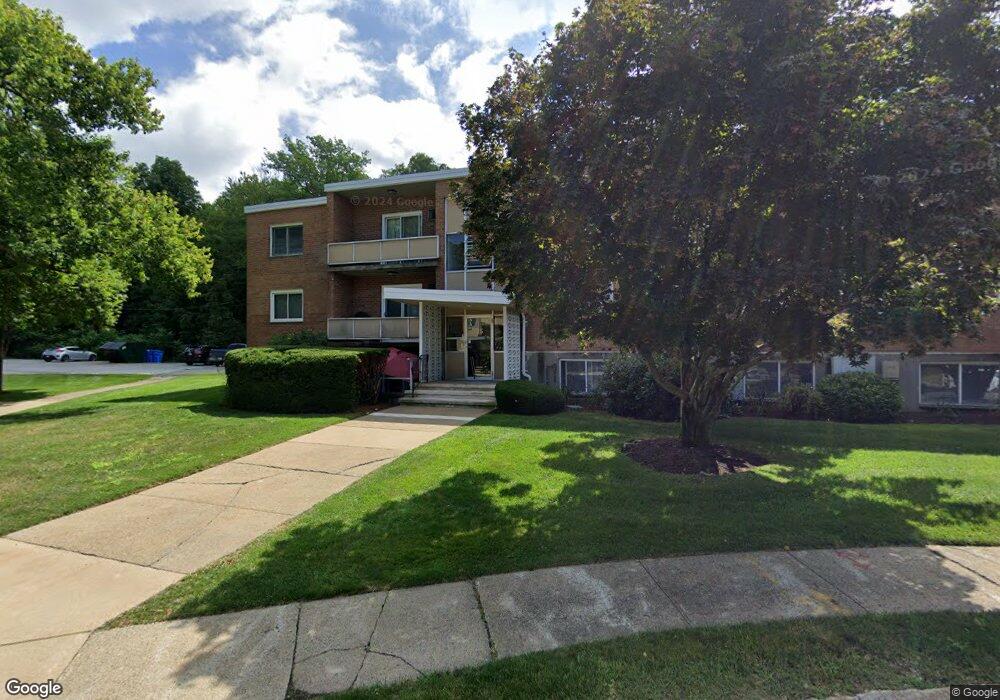
85 Lionel Ave Unit A Waltham, MA 02452
North Waltham NeighborhoodEstimated Value: $384,680 - $486,000
2
Beds
1
Bath
760
Sq Ft
$556/Sq Ft
Est. Value
About This Home
This home is located at 85 Lionel Ave Unit A, Waltham, MA 02452 and is currently estimated at $422,920, approximately $556 per square foot. 85 Lionel Ave Unit A is a home located in Middlesex County with nearby schools including Northeast Elementary School, John F Kennedy Middle School, and Waltham Sr High School.
Ownership History
Date
Name
Owned For
Owner Type
Purchase Details
Closed on
Apr 20, 2020
Sold by
Guarino Russell A
Bought by
Minassian Sarkis S
Current Estimated Value
Purchase Details
Closed on
Sep 12, 2012
Sold by
Stampfer Kenneth and Stampfer Ann
Bought by
Guarino Russell A
Home Financials for this Owner
Home Financials are based on the most recent Mortgage that was taken out on this home.
Original Mortgage
$140,000
Interest Rate
3.57%
Mortgage Type
New Conventional
Purchase Details
Closed on
Oct 1, 1979
Bought by
Guarino Russell A
Create a Home Valuation Report for This Property
The Home Valuation Report is an in-depth analysis detailing your home's value as well as a comparison with similar homes in the area
Home Values in the Area
Average Home Value in this Area
Purchase History
| Date | Buyer | Sale Price | Title Company |
|---|---|---|---|
| Minassian Sarkis S | $296,000 | None Available | |
| Guarino Russell A | $175,000 | -- | |
| Guarino Russell A | $31,300 | -- |
Source: Public Records
Mortgage History
| Date | Status | Borrower | Loan Amount |
|---|---|---|---|
| Previous Owner | Guarino Russell A | $140,000 |
Source: Public Records
Tax History Compared to Growth
Tax History
| Year | Tax Paid | Tax Assessment Tax Assessment Total Assessment is a certain percentage of the fair market value that is determined by local assessors to be the total taxable value of land and additions on the property. | Land | Improvement |
|---|---|---|---|---|
| 2025 | $3,514 | $357,800 | $0 | $357,800 |
| 2024 | $3,406 | $353,300 | $0 | $353,300 |
| 2023 | $3,433 | $332,700 | $0 | $332,700 |
| 2022 | $3,668 | $329,300 | $0 | $329,300 |
| 2021 | $3,485 | $307,900 | $0 | $307,900 |
| 2020 | $3,544 | $296,600 | $0 | $296,600 |
| 2019 | $3,185 | $251,600 | $0 | $251,600 |
| 2018 | $2,894 | $229,500 | $0 | $229,500 |
| 2017 | $2,689 | $214,100 | $0 | $214,100 |
| 2016 | $2,621 | $214,100 | $0 | $214,100 |
| 2015 | $2,285 | $174,000 | $0 | $174,000 |
Source: Public Records
Map
Nearby Homes
- 30 Jacqueline Rd Unit C
- 107 Clocktower Dr Unit 3302
- 170 Clocktower Dr Unit 5103
- 87 Clocktower Dr Unit 2207
- 750 Trapelo Rd
- 30 Wampum Ave
- 1105 Lexington St Unit 102
- 129 Lake St
- 14 Piedmont Ave
- 28 College Farm Rd Unit 2
- 55 Circle Dr
- 65 Woburn St
- 23 Wight St
- 65 Montclair Ave
- 44 Sachem St
- 116 Raffaele Dr
- 234 Lake St
- 249 Lake St
- 28 Hillcrest St
- 98 Seminole Ave
- 81 Lionel Ave Unit UF
- 85 Lionel Ave Unit F
- 85 Lionel Ave Unit E
- 85 Lionel Ave Unit D
- 85 Lionel Ave Unit C
- 81 Lionel Ave Unit F
- 81 Lionel Ave Unit E
- 81 Lionel Ave Unit D
- 81 Lionel Ave Unit C
- 81 Lionel Ave Unit B
- 81 Lionel Ave Unit A
- 85 Lionel Ave Unit A
- 76 Lionel Ave Unit F
- 76 Lionel Ave Unit D
- 76 Lionel Ave Unit C
- 76 Lionel Ave Unit A
- 82 Lionel Ave Unit F
- 82 Lionel Ave Unit E
- 82 Lionel Ave Unit D
- 82 Lionel Ave Unit C