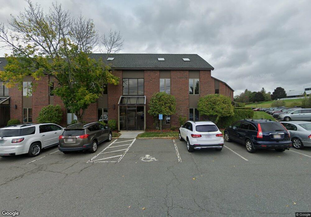
859 Turnpike St Unit 229 North Andover, MA 01845
Estimated Value: $673,647
--
Bed
--
Bath
1,650
Sq Ft
$408/Sq Ft
Est. Value
About This Home
This home is located at 859 Turnpike St Unit 229, North Andover, MA 01845 and is currently estimated at $673,647, approximately $408 per square foot. 859 Turnpike St Unit 229 is a home located in Essex County with nearby schools including Franklin Elementary School, North Andover Middle School, and North Andover High School.
Ownership History
Date
Name
Owned For
Owner Type
Purchase Details
Closed on
Aug 14, 2001
Sold by
Flagshhip Dev Group Rt and Lyons Laurence A
Bought by
Herrick David W
Current Estimated Value
Home Financials for this Owner
Home Financials are based on the most recent Mortgage that was taken out on this home.
Original Mortgage
$165,000
Outstanding Balance
$64,131
Interest Rate
7.1%
Mortgage Type
Commercial
Estimated Equity
$609,516
Create a Home Valuation Report for This Property
The Home Valuation Report is an in-depth analysis detailing your home's value as well as a comparison with similar homes in the area
Home Values in the Area
Average Home Value in this Area
Purchase History
| Date | Buyer | Sale Price | Title Company |
|---|---|---|---|
| Herrick David W | $245,000 | -- |
Source: Public Records
Mortgage History
| Date | Status | Borrower | Loan Amount |
|---|---|---|---|
| Open | Herrick David W | $165,000 |
Source: Public Records
Tax History Compared to Growth
Tax History
| Year | Tax Paid | Tax Assessment Tax Assessment Total Assessment is a certain percentage of the fair market value that is determined by local assessors to be the total taxable value of land and additions on the property. | Land | Improvement |
|---|---|---|---|---|
| 2025 | $3,803 | $240,400 | $0 | $240,400 |
| 2024 | $3,404 | $218,200 | $0 | $218,200 |
| 2023 | $3,459 | $200,500 | $0 | $200,500 |
| 2022 | $3,827 | $204,300 | $0 | $204,300 |
| 2021 | $4,049 | $209,900 | $0 | $209,900 |
| 2020 | $3,889 | $209,900 | $0 | $209,900 |
| 2019 | $4,026 | $209,900 | $0 | $209,900 |
| 2018 | $4,479 | $209,900 | $0 | $209,900 |
| 2017 | $3,746 | $183,200 | $0 | $183,200 |
| 2016 | $3,750 | $183,200 | $0 | $183,200 |
| 2015 | $3,709 | $182,800 | $0 | $182,800 |
Source: Public Records
Map
Nearby Homes
- 34 Rosemont Dr
- 127 Tucker Farm Rd
- 12 Farnum St
- 204 Chestnut St
- 124 Hillside Rd
- 495 Johnson St
- 7 Heather Dr
- 180 Chestnut St
- 4 Buchan Rd
- 45 Thistle Rd
- 80 Sandra Ln
- 75 Thistle Rd
- 316 Johnson St
- 26 Woodberry Ln
- 78 Salem St
- 174 Chestnut St Unit 14
- 53 Salem St
- 58 Berkeley Rd
- 378 Salem St
- 105 Elm St Unit A
- 859 Turnpike St Unit 30
- 859 Turnpike St Unit 129
- 859 Turnpike St Unit 130
- 859 Turnpike St Unit 130/132
- 857 Turnpike St Unit 233
- 857 Turnpike St Unit 857
- 857 Turnpike St Unit 234
- 857 Turnpike St Unit 133/135
- 857 Turnpike St Unit 133
- 869 Turnpike St Unit 110
- 869 Turnpike St Unit 209
- 869 Turnpike St Unit 212
- 855 Turnpike St Unit 237
- 855 Turnpike St Unit 239
- 863 Turnpike St Unit 122
- 863 Turnpike St Unit 221
- 863 Turnpike St Unit 121
- 863 Turnpike St Unit 224
- 863 Turnpike St Unit 124
- 867 Turnpike St Unit 213