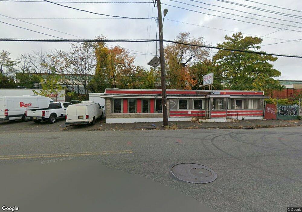
86-94 E Railway Ave Paterson, NJ 07503
South Paterson NeighborhoodEstimated Value: $380,676
--
Bed
--
Bath
1,550
Sq Ft
$246/Sq Ft
Est. Value
About This Home
This home is located at 86-94 E Railway Ave, Paterson, NJ 07503 and is currently estimated at $380,676, approximately $245 per square foot. 86-94 E Railway Ave is a home located in Passaic County with nearby schools including Dale Avenue Elementary School, Edward W. Kilpatrick School of Discovery, and Paterson Public School No. 3.
Ownership History
Date
Name
Owned For
Owner Type
Purchase Details
Closed on
Aug 4, 2023
Sold by
Nicholas Diner Inc
Bought by
Romis Dairy Farm Llc
Current Estimated Value
Purchase Details
Closed on
Nov 1, 1979
Bought by
Nicholas Diner Inc
Create a Home Valuation Report for This Property
The Home Valuation Report is an in-depth analysis detailing your home's value as well as a comparison with similar homes in the area
Home Values in the Area
Average Home Value in this Area
Purchase History
| Date | Buyer | Sale Price | Title Company |
|---|---|---|---|
| Romis Dairy Farm Llc | $330,000 | Everett Title | |
| Romis Dairy Farm Llc | $330,000 | Everett Title | |
| Nicholas Diner Inc | $45,000 | -- |
Source: Public Records
Tax History Compared to Growth
Tax History
| Year | Tax Paid | Tax Assessment Tax Assessment Total Assessment is a certain percentage of the fair market value that is determined by local assessors to be the total taxable value of land and additions on the property. | Land | Improvement |
|---|---|---|---|---|
| 2025 | $11,719 | $230,000 | $55,900 | $174,100 |
| 2024 | $11,277 | $230,000 | $55,900 | $174,100 |
| 2022 | $12,724 | $274,100 | $55,900 | $218,200 |
| 2021 | $12,269 | $274,100 | $55,900 | $218,200 |
| 2020 | $11,444 | $274,100 | $55,900 | $218,200 |
| 2019 | $10,575 | $255,800 | $55,900 | $199,900 |
| 2018 | $9,764 | $225,700 | $55,900 | $169,800 |
| 2017 | $8,869 | $213,200 | $55,900 | $157,300 |
| 2016 | $9,251 | $213,200 | $55,900 | $157,300 |
| 2015 | $8,758 | $213,200 | $55,900 | $157,300 |
| 2014 | $7,688 | $265,100 | $74,000 | $191,100 |
Source: Public Records
Map
Nearby Homes
- 126 Gould Ave
- 1252 Madison Ave Unit 1254
- 156 Kentucky Ave Unit 158
- 92 Bloomfield Ave
- 93 Bloomfield Ave
- 41 Columbia Ave
- 102 22nd Ave Unit 104
- 339 Paxton St
- 1048 E 22nd St
- 45 Dey St
- 65 Levine St
- 414 21st Ave
- 693 E 31st St Unit 695
- 693-695 E 31st St
- 495 21st Ave
- 150 Martin St
- 652 E 32nd St Unit 654
- 248 22nd Ave
- 439 Marshall St
- 86 E Railway Ave
- 86 E Railway Ave Unit 88
- 9 Alabama Ave Unit 11
- 91 E Railway Ave
- 102 E Railway Ave
- 13 Alabama Ave
- 19 Alabama Ave Unit 23
- 65 E Railway Ave Unit 67
- 61 E Railway Ave
- 22 Alabama Ave
- 24 Alabama Ave
- 26 Alabama Ave
- 16 Kentucky Ave
- 25-27 Alabama Ave
- 25 Alabama Ave Unit 27
- 28-30 Alabama Ave
- 28 Alabama Ave Unit 30
- 88 Thomas St
- 86 Thomas St
- 36 Alabama Ave Unit 38