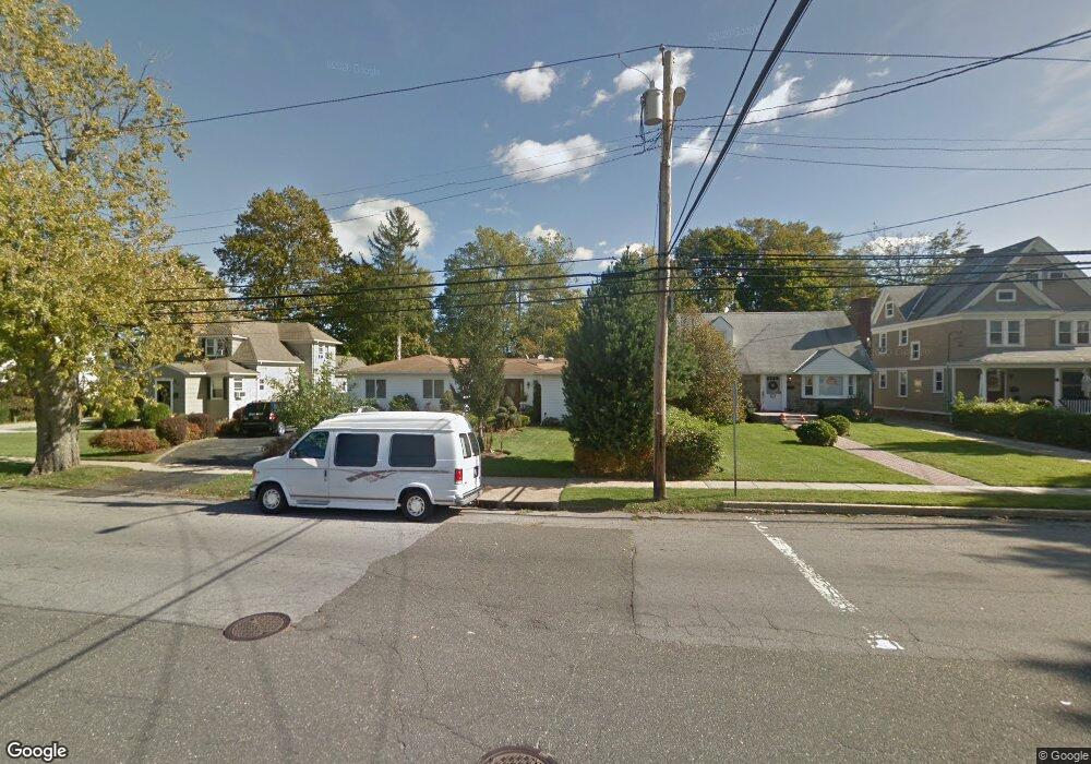
86 Mayfair Ave West Hempstead, NY 11552
Estimated Value: $949,812 - $1,090,000
--
Bed
2
Baths
2,880
Sq Ft
$354/Sq Ft
Est. Value
About This Home
This home is located at 86 Mayfair Ave, West Hempstead, NY 11552 and is currently estimated at $1,019,906, approximately $354 per square foot. 86 Mayfair Ave is a home located in Nassau County with nearby schools including Chestnut Street School, West Hempstead Secondary School, and Crescent School.
Ownership History
Date
Name
Owned For
Owner Type
Purchase Details
Closed on
Oct 27, 2017
Sold by
Venuti Ralph and Venuti Maria
Bought by
Zhong Jeffrey Jiahui and Cheng Ka Yiu Kelly
Current Estimated Value
Purchase Details
Closed on
Nov 25, 2009
Sold by
Beatty Maureen and Mcmahon Beatty Maura
Bought by
Daya Rimon
Purchase Details
Closed on
Mar 21, 2008
Sold by
Wells Fargo Bank N A
Purchase Details
Closed on
Aug 21, 2007
Sold by
Moore Jonathan
Purchase Details
Closed on
Feb 23, 2004
Sold by
Digregorio Alex
Create a Home Valuation Report for This Property
The Home Valuation Report is an in-depth analysis detailing your home's value as well as a comparison with similar homes in the area
Home Values in the Area
Average Home Value in this Area
Purchase History
| Date | Buyer | Sale Price | Title Company |
|---|---|---|---|
| Zhong Jeffrey Jiahui | $652,500 | -- | |
| Daya Rimon | -- | -- | |
| -- | $445,000 | -- | |
| -- | $632,509 | -- | |
| -- | $163,444 | -- |
Source: Public Records
Tax History Compared to Growth
Tax History
| Year | Tax Paid | Tax Assessment Tax Assessment Total Assessment is a certain percentage of the fair market value that is determined by local assessors to be the total taxable value of land and additions on the property. | Land | Improvement |
|---|---|---|---|---|
| 2025 | $13,569 | $476 | $265 | $211 |
| 2024 | $4,300 | $476 | $265 | $211 |
| 2023 | $12,439 | $476 | $265 | $211 |
| 2022 | $12,439 | $476 | $265 | $211 |
| 2021 | $16,473 | $476 | $265 | $211 |
| 2020 | $11,487 | $670 | $581 | $89 |
| 2019 | $11,047 | $718 | $584 | $134 |
| 2018 | $11,121 | $766 | $0 | $0 |
| 2017 | $7,303 | $814 | $588 | $226 |
| 2016 | $11,368 | $862 | $561 | $301 |
| 2015 | $4,238 | $910 | $528 | $382 |
| 2014 | $4,238 | $910 | $528 | $382 |
| 2013 | $4,173 | $957 | $555 | $402 |
Source: Public Records
Map
Nearby Homes
- 252 Lexington Ave
- 50 Mayfair Ave
- 253 William St
- 170 Ivy St
- 301 Concord Ave
- 197 Ivy St
- 47 Stratford Rd
- 181 Oak St
- 2 Sunset Ln
- 26 Sycamore St
- 179 Fairlawn Ave
- 87 Elton St
- 89 Osborne Rd
- 72 Spruce St
- 106 Sycamore St
- 39 Hilbert St
- 60 Long Dr
- 306 Cambridge Ave
- 30 Cathedral Ave Unit 4A
- 22 Mulford Place Unit 2D
- 88 Mayfair Ave
- 102 Mayfair Ave
- 82 Mayfair Ave
- 106 Mayfair Ave
- 76 Mayfair Ave
- 211 Lexington Ave
- 95 Mayfair Ave
- 168 Academy Place
- 81 Mayfair Ave
- 70 Mayfair Ave
- 101 Mayfair Ave
- 77 Mayfair Ave
- 173 Academy Place
- 118 Mayfair Ave
- 105 Mayfair Ave
- 175 Trinity Place
- 162 Academy Place
- 75 Mayfair Ave
- 219 Lexington Ave
- 222 Lexington Ave