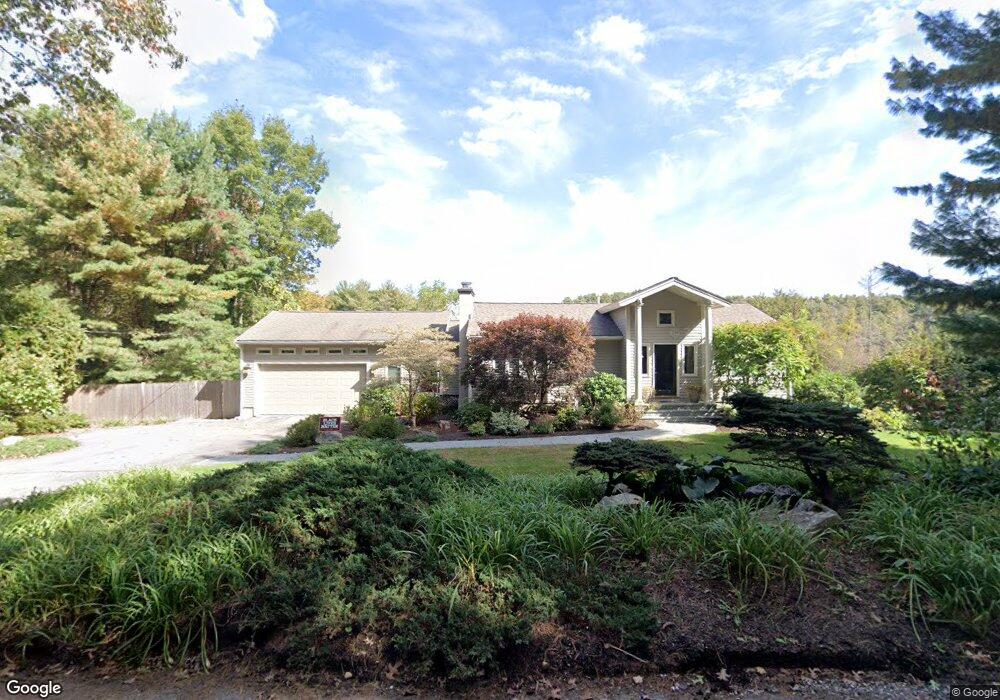
86 Tower Rd Lincoln, MA 01773
Estimated Value: $1,443,000 - $1,817,000
3
Beds
3
Baths
2,638
Sq Ft
$621/Sq Ft
Est. Value
About This Home
This home is located at 86 Tower Rd, Lincoln, MA 01773 and is currently estimated at $1,639,097, approximately $621 per square foot. 86 Tower Rd is a home located in Middlesex County with nearby schools including Lincoln-Sudbury Regional High School and The Cambridge School Of Weston.
Ownership History
Date
Name
Owned For
Owner Type
Purchase Details
Closed on
Apr 25, 2007
Sold by
Pruitt Stephen L
Bought by
Dugan Michael J and Alpert Debra
Current Estimated Value
Home Financials for this Owner
Home Financials are based on the most recent Mortgage that was taken out on this home.
Original Mortgage
$750,000
Outstanding Balance
$454,218
Interest Rate
6.18%
Mortgage Type
Purchase Money Mortgage
Estimated Equity
$1,184,879
Purchase Details
Closed on
Jan 3, 2007
Sold by
Pruitt Denise Forte and Pruitt Stephen L
Bought by
Pruitt Stephen L
Purchase Details
Closed on
Apr 9, 1987
Sold by
Mauro Paul J
Bought by
Pruitt Stephen
Create a Home Valuation Report for This Property
The Home Valuation Report is an in-depth analysis detailing your home's value as well as a comparison with similar homes in the area
Home Values in the Area
Average Home Value in this Area
Purchase History
| Date | Buyer | Sale Price | Title Company |
|---|---|---|---|
| Dugan Michael J | $950,000 | -- | |
| Dugan Michael J | $950,000 | -- | |
| Pruitt Stephen L | -- | -- | |
| Pruitt Stephen L | -- | -- | |
| Pruitt Stephen | $260,000 | -- |
Source: Public Records
Mortgage History
| Date | Status | Borrower | Loan Amount |
|---|---|---|---|
| Open | Pruitt Stephen | $339,000 | |
| Open | Dugan Michael J | $750,000 | |
| Closed | Pruitt Stephen | $750,000 |
Source: Public Records
Tax History Compared to Growth
Tax History
| Year | Tax Paid | Tax Assessment Tax Assessment Total Assessment is a certain percentage of the fair market value that is determined by local assessors to be the total taxable value of land and additions on the property. | Land | Improvement |
|---|---|---|---|---|
| 2025 | $166 | $1,296,200 | $775,300 | $520,900 |
| 2024 | $16,355 | $1,268,800 | $760,100 | $508,700 |
| 2023 | $16,271 | $1,168,900 | $700,100 | $468,800 |
| 2022 | $15,442 | $1,034,300 | $632,900 | $401,400 |
| 2021 | $14,735 | $949,400 | $560,100 | $389,300 |
| 2020 | $14,534 | $946,200 | $560,100 | $386,100 |
| 2019 | $12,537 | $893,600 | $542,500 | $351,100 |
| 2018 | $12,153 | $893,600 | $542,500 | $351,100 |
| 2017 | $11,782 | $860,000 | $512,100 | $347,900 |
| 2016 | $11,774 | $841,600 | $496,900 | $344,700 |
| 2015 | $11,297 | $798,400 | $460,100 | $338,300 |
| 2014 | $10,629 | $737,600 | $412,100 | $325,500 |
Source: Public Records
Map
Nearby Homes
- 130 Tower Rd
- 19 Conant Rd
- 22 Lincoln Rd
- 12 Laurel Dr
- 3 Clifford Ln
- 6 Clifford Ln
- 44 Baker Bridge Rd
- 60 Baker Bridge Rd
- 75 Westland Rd
- 426 Conant Rd
- 152 S Great Rd
- 416 Conant Rd
- 5 Peakes Ln
- 244 Lincoln Rd
- 93 Old Sudbury Rd
- 121 Cherry Brook Rd
- 51 Willard Rd
- 88 Winter St
- 8 Stratford Way
- 33 Old Concord Rd