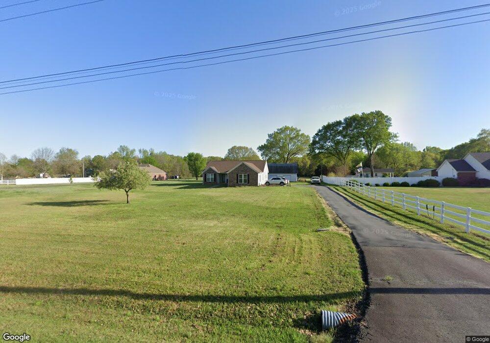
860 Highway 89 S Sherwood, AR 72120
Estimated Value: $312,000 - $338,000
--
Bed
2
Baths
2,053
Sq Ft
$158/Sq Ft
Est. Value
About This Home
This home is located at 860 Highway 89 S, Sherwood, AR 72120 and is currently estimated at $324,959, approximately $158 per square foot. 860 Highway 89 S is a home located in Faulkner County with nearby schools including Mayflower Elementary School, Mayflower Middle School, and Mayflower High School.
Ownership History
Date
Name
Owned For
Owner Type
Purchase Details
Closed on
Jun 23, 2020
Sold by
Dillehay Jerry W and Mann Marcella K
Bought by
Davis Alvin J
Current Estimated Value
Home Financials for this Owner
Home Financials are based on the most recent Mortgage that was taken out on this home.
Original Mortgage
$213,655
Outstanding Balance
$190,223
Interest Rate
3.2%
Mortgage Type
New Conventional
Estimated Equity
$134,736
Purchase Details
Closed on
Apr 25, 1996
Bought by
Weaver
Purchase Details
Closed on
Oct 18, 1995
Bought by
Reedy
Create a Home Valuation Report for This Property
The Home Valuation Report is an in-depth analysis detailing your home's value as well as a comparison with similar homes in the area
Home Values in the Area
Average Home Value in this Area
Purchase History
| Date | Buyer | Sale Price | Title Company |
|---|---|---|---|
| Davis Alvin J | $224,900 | None Available | |
| Weaver | $92,000 | -- | |
| Reedy | $17,000 | -- | |
| Dawson | -- | -- |
Source: Public Records
Mortgage History
| Date | Status | Borrower | Loan Amount |
|---|---|---|---|
| Open | Davis Alvin J | $213,655 | |
| Previous Owner | Weaver Dennis L | $121,700 | |
| Previous Owner | Weaver Dennis L | $128,000 |
Source: Public Records
Tax History Compared to Growth
Tax History
| Year | Tax Paid | Tax Assessment Tax Assessment Total Assessment is a certain percentage of the fair market value that is determined by local assessors to be the total taxable value of land and additions on the property. | Land | Improvement |
|---|---|---|---|---|
| 2025 | $2,164 | $53,510 | $4,130 | $49,380 |
| 2024 | $2,083 | $53,510 | $4,130 | $49,380 |
| 2023 | $1,984 | $40,650 | $4,130 | $36,520 |
| 2022 | $1,659 | $40,650 | $4,130 | $36,520 |
| 2021 | $1,641 | $40,650 | $4,130 | $36,520 |
| 2020 | $1,049 | $28,440 | $4,130 | $24,310 |
| 2019 | $1,423 | $28,440 | $4,130 | $24,310 |
| 2018 | $1,074 | $28,440 | $4,130 | $24,310 |
| 2017 | $1,074 | $28,440 | $4,130 | $24,310 |
| 2016 | $1,074 | $28,440 | $4,130 | $24,310 |
| 2015 | $1,575 | $32,280 | $4,130 | $28,150 |
| 2014 | $1,261 | $32,280 | $4,130 | $28,150 |
Source: Public Records
Map
Nearby Homes
- 00 Moon Rd
- 1 Wesley Trail
- 41 Bridge Field Dr
- 48 Bridge Field Dr
- 9604 Sayles Rd
- 00 Melissa Ln
- 11908 Melissa Ln
- 8119 Dorsey Rd
- 000 Jones Rd Unit Schrewsbury Road
- 35 Friday Ln
- 6511 Sunshine Ln
- 6821 Haynie Rd
- 29 Amber Oaks
- 14 Rose Ln
- 10979 Old Tom Box Rd
- 10775 Old Tom Box Rd
- 10876 Old Tom Box Rd
- 10794 Old Tom Box Rd
- 10789 Old Tom Box Rd
- 11099 Old Tom Box Rd
- 860 Highway 89 S
- 856 Highway 89 S
- 864 Highway 89 S
- 861 Highway 89 S Unit NLR
- 861 Highway 89 S
- 862 Highway 89 S
- 18 Harmony Rd Unit S
- 18 Harmony Rd
- 850 Highway 89 S
- 850 Hwy 89 S
- 0 Harmony Rd S Unit 15023216
- 23 Harmony Rd
- 20 Harmony Rd
- 24 Harmony Rd S
- 31 Harmony Rd S
- 33 Harmony Rd S
- 885 Highway 89 S
- 28 Harmony Rd S
- 34 Harmony Rd S
- 882 Highway 89 S