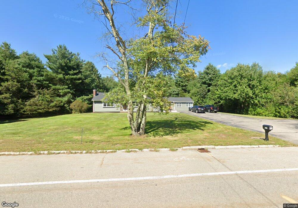
863 East St Wrentham, MA 02093
Estimated Value: $569,000 - $736,000
3
Beds
2
Baths
1,852
Sq Ft
$354/Sq Ft
Est. Value
About This Home
This home is located at 863 East St, Wrentham, MA 02093 and is currently estimated at $655,748, approximately $354 per square foot. 863 East St is a home located in Norfolk County with nearby schools including Delaney Elementary School, Charles E Roderick, and Foxborough Regional Charter School.
Ownership History
Date
Name
Owned For
Owner Type
Purchase Details
Closed on
May 21, 2020
Sold by
Snow Helen M Est
Bought by
Carlow Paul C and Carlow Cheri A
Current Estimated Value
Home Financials for this Owner
Home Financials are based on the most recent Mortgage that was taken out on this home.
Original Mortgage
$198,400
Outstanding Balance
$175,810
Interest Rate
3.3%
Mortgage Type
New Conventional
Estimated Equity
$479,938
Purchase Details
Closed on
Feb 17, 1967
Bought by
Snow Frank D and Snow Helen M
Create a Home Valuation Report for This Property
The Home Valuation Report is an in-depth analysis detailing your home's value as well as a comparison with similar homes in the area
Home Values in the Area
Average Home Value in this Area
Purchase History
| Date | Buyer | Sale Price | Title Company |
|---|---|---|---|
| Carlow Paul C | $248,000 | None Available | |
| Snow Frank D | -- | -- |
Source: Public Records
Mortgage History
| Date | Status | Borrower | Loan Amount |
|---|---|---|---|
| Open | Carlow Paul C | $198,400 |
Source: Public Records
Tax History Compared to Growth
Tax History
| Year | Tax Paid | Tax Assessment Tax Assessment Total Assessment is a certain percentage of the fair market value that is determined by local assessors to be the total taxable value of land and additions on the property. | Land | Improvement |
|---|---|---|---|---|
| 2025 | $6,696 | $577,700 | $273,200 | $304,500 |
| 2024 | $6,216 | $518,000 | $273,200 | $244,800 |
| 2023 | $5,984 | $474,200 | $248,300 | $225,900 |
| 2022 | $5,897 | $431,400 | $223,500 | $207,900 |
| 2021 | $5,159 | $366,700 | $199,600 | $167,100 |
| 2020 | $4,953 | $347,600 | $180,400 | $167,200 |
| 2019 | $4,867 | $344,700 | $180,400 | $164,300 |
| 2018 | $4,961 | $348,400 | $180,500 | $167,900 |
| 2017 | $4,658 | $326,900 | $177,000 | $149,900 |
| 2016 | $4,554 | $318,900 | $171,800 | $147,100 |
| 2015 | $4,131 | $275,800 | $150,200 | $125,600 |
| 2014 | $4,062 | $265,300 | $144,400 | $120,900 |
Source: Public Records
Map
Nearby Homes
- 25 Foxboro Rd
- 131 Washington St Unit 42
- 7 Hill St Unit 10
- 11 Goodwin Dr
- 65 Pond St
- 71 Pond St
- 1 Lorraine Metcalf Dr
- 362 East St
- 270 Dedham St
- 155 Clark Rd Unit 155
- 10 W Birch Rd
- 0 W Birch Rd
- 3 Oak Rd
- 483 Thurston St
- 10 Nature View Dr
- 15 Nature View Dr
- 246 Forest Grove Ave
- 120 Hawes St
- 375 Winter St
- 2 Diamond St