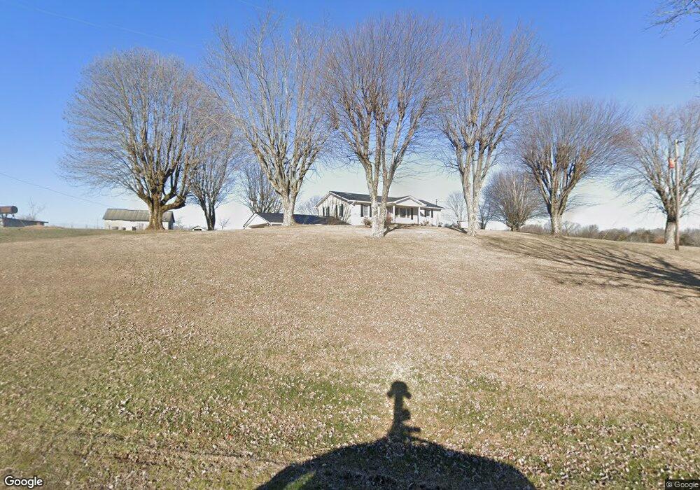
865 Shrum Cemetery Rd Westmoreland, TN 37186
Estimated Value: $252,000 - $1,026,531
--
Bed
1
Bath
1,350
Sq Ft
$474/Sq Ft
Est. Value
About This Home
This home is located at 865 Shrum Cemetery Rd, Westmoreland, TN 37186 and is currently estimated at $639,266, approximately $473 per square foot. 865 Shrum Cemetery Rd is a home located in Macon County with nearby schools including Lighthouse Academy.
Ownership History
Date
Name
Owned For
Owner Type
Purchase Details
Closed on
Jan 18, 2005
Bought by
Scruggs Melvin and Scruggs Patricia
Current Estimated Value
Purchase Details
Closed on
Mar 12, 1988
Bought by
Scruggs Melvin and Scruggs Patricia
Purchase Details
Closed on
Mar 8, 1988
Purchase Details
Closed on
Apr 12, 1960
Bought by
Hoskins George and Hoskins Dezma
Create a Home Valuation Report for This Property
The Home Valuation Report is an in-depth analysis detailing your home's value as well as a comparison with similar homes in the area
Home Values in the Area
Average Home Value in this Area
Purchase History
| Date | Buyer | Sale Price | Title Company |
|---|---|---|---|
| Scruggs Melvin | $3,000 | -- | |
| Scruggs Melvin | -- | -- | |
| -- | -- | -- | |
| Hoskins George | -- | -- |
Source: Public Records
Tax History Compared to Growth
Tax History
| Year | Tax Paid | Tax Assessment Tax Assessment Total Assessment is a certain percentage of the fair market value that is determined by local assessors to be the total taxable value of land and additions on the property. | Land | Improvement |
|---|---|---|---|---|
| 2024 | $1,541 | $109,100 | $62,025 | $47,075 |
| 2023 | $1,541 | $109,100 | $0 | $0 |
| 2022 | $1,693 | $70,525 | $51,575 | $18,950 |
| 2021 | $1,693 | $70,525 | $51,575 | $18,950 |
| 2020 | $1,693 | $70,525 | $51,575 | $18,950 |
| 2019 | $1,693 | $70,525 | $51,575 | $18,950 |
| 2018 | $1,533 | $69,275 | $51,575 | $17,700 |
| 2017 | $1,613 | $64,025 | $47,150 | $16,875 |
| 2016 | $1,537 | $64,025 | $47,150 | $16,875 |
| 2015 | $1,537 | $64,025 | $47,150 | $16,875 |
| 2014 | $1,537 | $64,023 | $0 | $0 |
Source: Public Records
Map
Nearby Homes
- 2166 Shrum Cemetery Rd
- 2192 Shrum Cemetery Rd
- 2134 Shrum Cemetery Rd
- 779 Oakdale Rd
- 98 Andrea Ln
- 1701 Wixtown Rd
- 1733 Wixtown Rd
- 397 Lauren Ln
- 177 Lauren Ln
- 8141 Old Highway 52
- 0 Highway 52 W Unit RTC2944821
- 2134 Oakdale Rd
- 2486 Oakdale Rd
- 6704 Highway 52 W
- 221 Creekside Ln
- 6606 Highway 52 W
- 2838 Wixtown Rd
- 10029 Old Highway 52
- 5071 Old Highway 52
- 1314 Green Grove Rd
- 800 Shrum Cemetery Rd
- 785 Shrum Cemetery Rd
- 780 Shrum Cemetery Rd
- 760 Shrum Cemetery Rd
- 738 Shrum Cemetery Rd
- 714 Shrum Cemetery Rd
- 679 Shrum Cemetery Rd
- 527 Hunters Ln
- 699 Shrum Cemetery Rd
- 94 Hunters Ln
- 687 Shrum Cemetery Rd
- 741 Shrum Cemetery Rd
- 765 Shrum Cemetery Rd
- 8 Shrum Cemetery Rd
- 9 Shrum Cemetery Rd
- 7 Hunters Ln
- 6 Hunters Ln
- 5 Hunters Ln
- 4 Hunters Ln
- 3 Hunters Ln