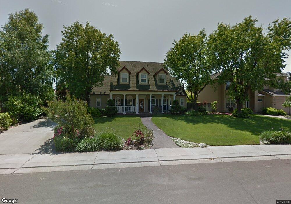
867 W Southwood Dr Woodland, CA 95695
Estimated Value: $722,000 - $1,064,000
3
Beds
3
Baths
2,809
Sq Ft
$323/Sq Ft
Est. Value
About This Home
This home is located at 867 W Southwood Dr, Woodland, CA 95695 and is currently estimated at $906,831, approximately $322 per square foot. 867 W Southwood Dr is a home located in Yolo County with nearby schools including T.L. Whitehead Elementary School, Lee Middle School, and Woodland Senior High School.
Ownership History
Date
Name
Owned For
Owner Type
Purchase Details
Closed on
Oct 15, 2020
Sold by
Smith Russell Lee and Smith Kathleen M
Bought by
Smith Russell L and Smith Kathleen M
Current Estimated Value
Purchase Details
Closed on
Apr 8, 1994
Sold by
Snow Timothy P and Snow Elaine J
Bought by
Smith Russell Lee and Smith Kathleen M
Home Financials for this Owner
Home Financials are based on the most recent Mortgage that was taken out on this home.
Original Mortgage
$257,600
Interest Rate
4.87%
Create a Home Valuation Report for This Property
The Home Valuation Report is an in-depth analysis detailing your home's value as well as a comparison with similar homes in the area
Home Values in the Area
Average Home Value in this Area
Purchase History
| Date | Buyer | Sale Price | Title Company |
|---|---|---|---|
| Smith Russell L | -- | None Available | |
| Smith Russell Lee | $117,500 | North American Title Co Inc |
Source: Public Records
Mortgage History
| Date | Status | Borrower | Loan Amount |
|---|---|---|---|
| Closed | Smith Russell Lee | $257,600 |
Source: Public Records
Tax History Compared to Growth
Tax History
| Year | Tax Paid | Tax Assessment Tax Assessment Total Assessment is a certain percentage of the fair market value that is determined by local assessors to be the total taxable value of land and additions on the property. | Land | Improvement |
|---|---|---|---|---|
| 2025 | $6,096 | $598,413 | $199,513 | $398,900 |
| 2023 | $6,096 | $575,177 | $191,766 | $383,411 |
| 2022 | $5,854 | $563,900 | $188,006 | $375,894 |
| 2021 | $5,759 | $552,844 | $184,320 | $368,524 |
| 2020 | $5,677 | $547,177 | $182,431 | $364,746 |
| 2019 | $5,568 | $536,449 | $178,854 | $357,595 |
| 2018 | $5,511 | $525,932 | $175,348 | $350,584 |
| 2017 | $5,390 | $515,620 | $171,910 | $343,710 |
| 2016 | $5,296 | $505,511 | $168,540 | $336,971 |
| 2015 | $5,117 | $497,919 | $166,009 | $331,910 |
| 2014 | $5,117 | $488,167 | $162,758 | $325,409 |
Source: Public Records
Map
Nearby Homes
- 725 Fairview Dr
- 1200 Evergreen Ct
- 910 Notre Dame Dr
- 633 Poplar Ln
- 637 Knollwood Dr
- 956 W Cross St
- 615 Knollwood Dr
- 754 Fordham Place
- 737 Heather Ln
- 805 W Lincoln Ave
- 517 Daniels St
- 420 W Southwood Dr
- 837 Lewis Ave
- 736 W Lincoln Ave Unit 138
- 801-803 California St
- 648 California St
- 628 California St
- 909 Harvard Place
- 206 Los Robles Way
- 6 Southwood Dr
- 871 W Southwood Dr
- 863 W Southwood Dr
- 934 Jordan Cir
- 936 Jordan Cir
- 866 W Southwood Dr
- 904 Fairview Dr
- 870 W Southwood Dr
- 862 W Southwood Dr
- 900 Fairview Dr
- 910 Fairview Dr
- 858 W Southwood Dr
- 916 Fairview Dr
- 938 Jordan Cir
- 920 Fairview Dr
- 878 W Southwood Dr
- 818 Fairview Dr
- 926 Fairview Dr
- 932 Jordan Cir
- 863 Mcneill Cir
- 746 Meadowood Ct