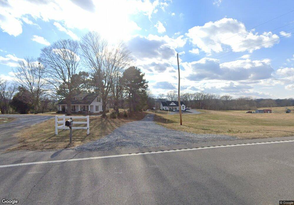
8677 Highway 52 Portland, TN 37148
Estimated Value: $465,000 - $637,000
--
Bed
1
Bath
2,645
Sq Ft
$218/Sq Ft
Est. Value
About This Home
This home is located at 8677 Highway 52, Portland, TN 37148 and is currently estimated at $575,565, approximately $217 per square foot. 8677 Highway 52 is a home with nearby schools including East Robertson Elementary School and East Robertson High School.
Ownership History
Date
Name
Owned For
Owner Type
Purchase Details
Closed on
Feb 8, 2018
Sold by
Neill Benny
Bought by
Powell Patrick and Powell Allen
Current Estimated Value
Home Financials for this Owner
Home Financials are based on the most recent Mortgage that was taken out on this home.
Original Mortgage
$280,500
Interest Rate
3.99%
Mortgage Type
Commercial
Create a Home Valuation Report for This Property
The Home Valuation Report is an in-depth analysis detailing your home's value as well as a comparison with similar homes in the area
Home Values in the Area
Average Home Value in this Area
Purchase History
| Date | Buyer | Sale Price | Title Company |
|---|---|---|---|
| Powell Patrick | $330,000 | Title Esc Of Robertson Count |
Source: Public Records
Mortgage History
| Date | Status | Borrower | Loan Amount |
|---|---|---|---|
| Closed | Powell Patrick | $280,500 |
Source: Public Records
Tax History Compared to Growth
Tax History
| Year | Tax Paid | Tax Assessment Tax Assessment Total Assessment is a certain percentage of the fair market value that is determined by local assessors to be the total taxable value of land and additions on the property. | Land | Improvement |
|---|---|---|---|---|
| 2024 | -- | $153,275 | $20,950 | $132,325 |
| 2023 | $2,632 | $146,200 | $20,950 | $125,250 |
| 2022 | $1,249 | $48,500 | $8,600 | $39,900 |
| 2021 | $247 | $9,575 | $8,600 | $975 |
| 2020 | $247 | $9,575 | $8,600 | $975 |
| 2019 | $247 | $9,575 | $8,600 | $975 |
| 2018 | $2,229 | $11,600 | $10,625 | $975 |
| 2017 | $1,358 | $44,025 | $11,950 | $32,075 |
| 2016 | $1,290 | $44,025 | $11,950 | $32,075 |
| 2015 | $1,237 | $41,800 | $9,725 | $32,075 |
| 2014 | $1,237 | $41,800 | $9,725 | $32,075 |
Source: Public Records
Map
Nearby Homes
- 8637 Tennessee 52
- 0 Payne Rd Extension Unit RTC2898325
- 8283 Highway 52
- 6485 Highland Rd
- 0 Jimson Rd
- 0 Bill Anderson Rd
- 6016 Highland Rd
- 4984 Somerville Rd
- 8127 Pleasant Hill Rd
- 8044 Pleasant Hill Rd
- 0 State Route 52
- 3019 Friendship Rd
- 6400 Williams Rd
- 6400 Williams Rd
- 2671 Friendship Rd
- 0 Hulsey Rd
- 5300 Highway 31 W
- 135 Old Highway 52 W
- 5373 E Robertson Rd
- 5444 E Robertson Rd
- 8619 Tn-52
- 8620 Highway 52
- 8595 Highway 52
- 8595 Highway 52
- 8619 Highway 52
- 7856 Highway 52
- 8623 Tennessee 52
- 8627 Tennessee 52
- 8645 Highway 52
- 8653 Highway 52
- 8607 Highway 52
- 8633 Highway 52
- 8609 Highway 52
- 8661 Highway 52
- 8661 Highway 52
- 8609 Highway 52
- 8633 Highway 52
- 8533 Highway 52
- 8533 Highway 52
- 5559 N Moore Rd