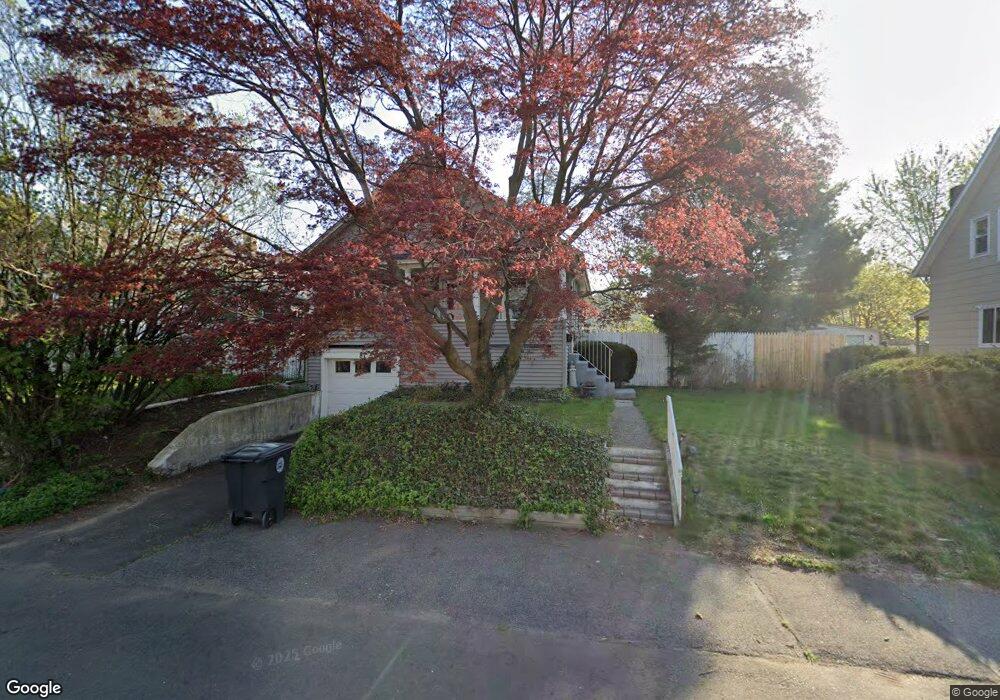
87 Avon St Milford, CT 06461
Devon NeighborhoodEstimated Value: $366,000 - $396,000
2
Beds
1
Bath
904
Sq Ft
$417/Sq Ft
Est. Value
About This Home
This home is located at 87 Avon St, Milford, CT 06461 and is currently estimated at $376,561, approximately $416 per square foot. 87 Avon St is a home located in New Haven County with nearby schools including J.F. Kennedy School, West Shore Middle School, and Jonathan Law High School.
Ownership History
Date
Name
Owned For
Owner Type
Purchase Details
Closed on
Jun 28, 2006
Sold by
Cantafio Phyllis M
Bought by
Packham Amy E
Current Estimated Value
Home Financials for this Owner
Home Financials are based on the most recent Mortgage that was taken out on this home.
Original Mortgage
$155,000
Interest Rate
6.58%
Purchase Details
Closed on
Jul 31, 1998
Sold by
Howarth William J
Bought by
Cantafio Phyllis M
Create a Home Valuation Report for This Property
The Home Valuation Report is an in-depth analysis detailing your home's value as well as a comparison with similar homes in the area
Home Values in the Area
Average Home Value in this Area
Purchase History
| Date | Buyer | Sale Price | Title Company |
|---|---|---|---|
| Packham Amy E | $265,000 | -- | |
| Packham Amy E | $265,000 | -- | |
| Cantafio Phyllis M | $90,000 | -- | |
| Cantafio Phyllis M | $90,000 | -- |
Source: Public Records
Mortgage History
| Date | Status | Borrower | Loan Amount |
|---|---|---|---|
| Closed | Cantafio Phyllis M | $152,800 | |
| Closed | Cantafio Phyllis M | $155,000 |
Source: Public Records
Tax History Compared to Growth
Tax History
| Year | Tax Paid | Tax Assessment Tax Assessment Total Assessment is a certain percentage of the fair market value that is determined by local assessors to be the total taxable value of land and additions on the property. | Land | Improvement |
|---|---|---|---|---|
| 2025 | $5,362 | $181,460 | $73,180 | $108,280 |
| 2024 | $5,288 | $181,460 | $73,180 | $108,280 |
| 2023 | $4,930 | $181,460 | $73,180 | $108,280 |
| 2022 | $4,836 | $181,460 | $73,180 | $108,280 |
| 2021 | $4,331 | $156,640 | $50,180 | $106,460 |
| 2020 | $4,336 | $156,640 | $50,180 | $106,460 |
| 2019 | $4,340 | $156,640 | $50,180 | $106,460 |
| 2018 | $4,345 | $156,640 | $50,180 | $106,460 |
| 2017 | $4,353 | $156,640 | $50,180 | $106,460 |
| 2016 | $4,265 | $153,180 | $50,180 | $103,000 |
| 2015 | $4,271 | $153,180 | $50,180 | $103,000 |
| 2014 | $4,170 | $153,180 | $50,180 | $103,000 |
Source: Public Records
Map
Nearby Homes
- 83 Berwyn St
- 66 Kent St
- 23 Utica St
- 261 Bridgeport Ave
- 51 Sachem St
- 20 Ormond St
- 0 Thornton St
- 49 Finch St
- 26 Bridgeport Ave
- 12 Woodland Dr
- 184 West Ave
- 43 Innsbruck St
- 10 Eastern Pkwy
- 15 Pickett St
- 27 S Kerema Ave
- 24 Collingsdale Dr
- 48 Hubbell Place
- 67 Lincoln Ave
- 775 Milford Point Rd
- 18 Greenview Ln