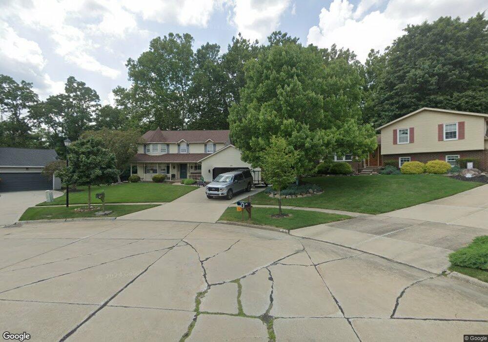
870 Lancaster Dr Medina, OH 44256
Estimated Value: $361,000 - $375,000
4
Beds
3
Baths
2,476
Sq Ft
$149/Sq Ft
Est. Value
About This Home
This home is located at 870 Lancaster Dr, Medina, OH 44256 and is currently estimated at $369,728, approximately $149 per square foot. 870 Lancaster Dr is a home located in Medina County with nearby schools including Sidney Fenn Elementary School, Claggett Middle School, and Medina High School.
Ownership History
Date
Name
Owned For
Owner Type
Purchase Details
Closed on
Jul 6, 2009
Sold by
Lewandowski Richard H and Lewandowski Cecilia M
Bought by
Funk David W and Godsey Brianna G
Current Estimated Value
Home Financials for this Owner
Home Financials are based on the most recent Mortgage that was taken out on this home.
Original Mortgage
$160,765
Outstanding Balance
$104,979
Interest Rate
5.32%
Mortgage Type
FHA
Estimated Equity
$264,749
Create a Home Valuation Report for This Property
The Home Valuation Report is an in-depth analysis detailing your home's value as well as a comparison with similar homes in the area
Home Values in the Area
Average Home Value in this Area
Purchase History
| Date | Buyer | Sale Price | Title Company |
|---|---|---|---|
| Funk David W | $173,000 | -- |
Source: Public Records
Mortgage History
| Date | Status | Borrower | Loan Amount |
|---|---|---|---|
| Open | Funk David W | $160,765 |
Source: Public Records
Tax History Compared to Growth
Tax History
| Year | Tax Paid | Tax Assessment Tax Assessment Total Assessment is a certain percentage of the fair market value that is determined by local assessors to be the total taxable value of land and additions on the property. | Land | Improvement |
|---|---|---|---|---|
| 2024 | $4,838 | $97,290 | $23,110 | $74,180 |
| 2023 | $4,838 | $97,290 | $23,110 | $74,180 |
| 2022 | $4,152 | $97,290 | $23,110 | $74,180 |
| 2021 | $3,880 | $76,610 | $18,200 | $58,410 |
| 2020 | $3,912 | $76,610 | $18,200 | $58,410 |
| 2019 | $3,842 | $76,610 | $18,200 | $58,410 |
| 2018 | $3,382 | $62,820 | $18,000 | $44,820 |
| 2017 | $3,430 | $62,820 | $18,000 | $44,820 |
| 2016 | $3,531 | $62,820 | $18,000 | $44,820 |
| 2015 | $3,426 | $58,170 | $16,670 | $41,500 |
| 2014 | $3,417 | $58,170 | $16,670 | $41,500 |
| 2013 | $3,421 | $58,170 | $16,670 | $41,500 |
Source: Public Records
Map
Nearby Homes
- 895 Lancaster Dr
- 1027 E Smith Rd
- 720 Deepwood Dr
- 4138 Timber Trail
- 1038 Concord Dr
- 5249 Crown Pointe Dr
- 959 Sandy Ln
- 923 Sandy Ln
- 830 Ridgeview Dr
- 217 Grant St Unit 219
- 345 Roshon Dr
- 2824 Grayson Dr
- 2846 Grayson Dr
- 236 W Liberty St
- 227 N East St
- 530 S Court St
- 794 Sturbridge Dr
- 1038 Charleton Dr
- 871 Gayer Dr
- 0 Wadsworth Rd
- 880 Lancaster Dr
- 877 Lancaster Dr
- 892 Lancaster Dr
- 856 E Smith Rd
- 870 E Smith Rd
- 878 E Smith Rd
- 900 Lancaster Dr
- 888 E Smith Rd
- 903 Lancaster Dr
- 896 E Smith Rd
- 906 Lancaster Dr
- 904 E Smith Rd
- 911 Lancaster Dr
- 912 Lancaster Dr
- 912 E Smith Rd
- 919 Lancaster Dr
- 867 E Smith Rd
- 867 E Smith Rd
- 920 Lancaster Dr
- 291 Guilford Blvd