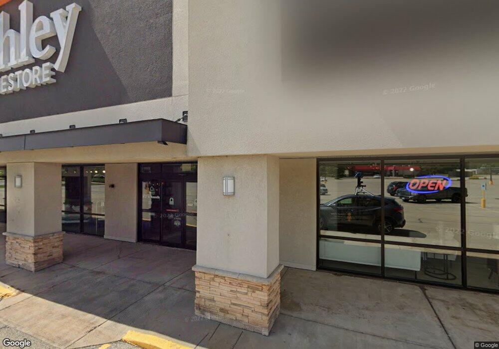
8727 N Knoxville Ave Unit A,B Peoria, IL 61615
North Peoria NeighborhoodEstimated Value: $3,144,010
--
Bed
--
Bath
--
Sq Ft
4.81
Acres
About This Home
This home is located at 8727 N Knoxville Ave Unit A,B, Peoria, IL 61615 and is currently estimated at $3,144,010. 8727 N Knoxville Ave Unit A,B is a home located in Peoria County with nearby schools including Kellar Primary School, Liberty Leadership Middle School, and Richwoods High School.
Ownership History
Date
Name
Owned For
Owner Type
Purchase Details
Closed on
Jan 12, 2023
Sold by
Northpoint Shopping Center Llc
Bought by
Jba Investments Llc
Current Estimated Value
Home Financials for this Owner
Home Financials are based on the most recent Mortgage that was taken out on this home.
Original Mortgage
$3,375,000
Outstanding Balance
$3,268,515
Interest Rate
6.49%
Mortgage Type
New Conventional
Estimated Equity
-$124,505
Create a Home Valuation Report for This Property
The Home Valuation Report is an in-depth analysis detailing your home's value as well as a comparison with similar homes in the area
Home Values in the Area
Average Home Value in this Area
Purchase History
| Date | Buyer | Sale Price | Title Company |
|---|---|---|---|
| Jba Investments Llc | $3,375,000 | -- |
Source: Public Records
Mortgage History
| Date | Status | Borrower | Loan Amount |
|---|---|---|---|
| Open | Jba Investments Llc | $3,375,000 |
Source: Public Records
Tax History Compared to Growth
Tax History
| Year | Tax Paid | Tax Assessment Tax Assessment Total Assessment is a certain percentage of the fair market value that is determined by local assessors to be the total taxable value of land and additions on the property. | Land | Improvement |
|---|---|---|---|---|
| 2024 | $83,652 | $1,100,120 | $218,620 | $881,500 |
| 2023 | $61,591 | $654,620 | $200,580 | $454,040 |
| 2022 | $50,540 | $523,950 | $198,030 | $325,920 |
| 2021 | $52,089 | $523,950 | $198,030 | $325,920 |
| 2020 | $52,501 | $523,950 | $198,030 | $325,920 |
| 2019 | $53,262 | $534,640 | $202,070 | $332,570 |
| 2018 | $55,346 | $568,290 | $202,010 | $366,280 |
| 2017 | $55,339 | $574,030 | $204,050 | $369,980 |
| 2016 | $53,798 | $574,030 | $204,050 | $369,980 |
| 2015 | $50,999 | $562,780 | $200,050 | $362,730 |
| 2014 | $50,391 | $554,020 | $201,990 | $352,030 |
| 2013 | -- | $554,020 | $201,990 | $352,030 |
Source: Public Records
Map
Nearby Homes
- 634 W Mount Hawley Terrace
- 611 W Forest Lawn Ave
- 414 W Timber Ridge Dr
- 9310 N Frye Rd
- 7615 Walnut Bend Dr Unit 30
- 7610 Walnut Bend Dr Unit 27
- 936 W Trailcreek Dr Unit 936
- 7606 Walnut Bend Dr
- 230 W Detweiller Dr
- 7604 N Patton Ln Unit 4
- 622 W Ravinwoods Rd
- 1316 W Buckingham Dr
- 7416 N Patton Ln
- 420 W Ravinwoods Rd
- 7408 N Brittany Park Place Unit 8
- 7408 N Brittany Park Place
- 416 W Ravinwoods Rd
- 820 W Loire Ct Unit 109
- 10019 N Spring Ln
- 1507 W Queens Court Rd
- 8727 N Knoxville Ave Unit 1
- 8727 N Knoxville Ave
- 8817 N Knoxville Ave Unit 5
- 8817 N Knoxville Ave Unit OP
- 8901 N Hale Ave
- 8801 N Hale Ave
- 8721 N Knoxville Ave
- 1004 W Mactavish Rd
- 8901 N Knoxville Ave Unit B
- 1114 W Mactavish Rd
- 822 W North Ln
- 831 W North Ln
- 8807 N Knoxville Ave
- 8903 N Hale Ave
- 826 W Inverness Dr
- 915 W Inverness St
- 922 W Mactavish Rd
- 1124 W Mactavish Rd
- 1102 W Inverness Dr
- 900 W Mactavish Rd