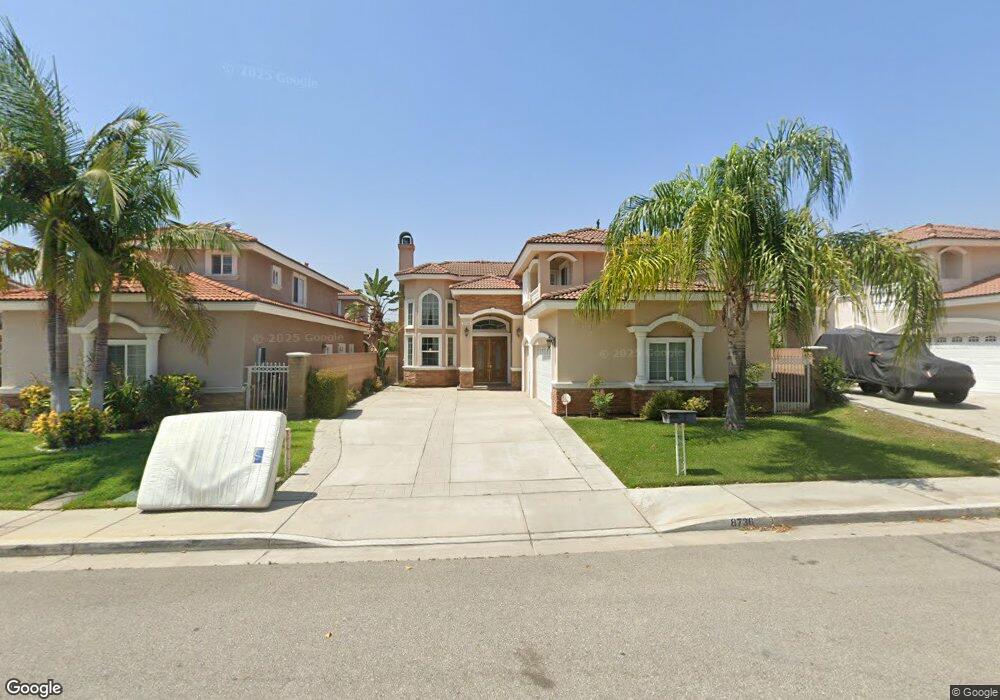
8736 Bethanie St Unit B-C-D. Rosemead, CA 91770
Estimated Value: $1,338,000 - $1,980,000
1
Bed
1
Bath
2,835
Sq Ft
$554/Sq Ft
Est. Value
About This Home
This home is located at 8736 Bethanie St Unit B-C-D., Rosemead, CA 91770 and is currently estimated at $1,571,560, approximately $554 per square foot. 8736 Bethanie St Unit B-C-D. is a home located in Los Angeles County with nearby schools including Emma W. Shuey Elementary School, Muscatel Middle School, and Rosemead High School.
Ownership History
Date
Name
Owned For
Owner Type
Purchase Details
Closed on
Dec 27, 2018
Sold by
United States Of Ameica
Bought by
Wang Xin
Current Estimated Value
Purchase Details
Closed on
Feb 25, 2009
Sold by
Union Pacific Funding Inc
Bought by
Wang Xin
Home Financials for this Owner
Home Financials are based on the most recent Mortgage that was taken out on this home.
Original Mortgage
$200,000
Interest Rate
4.91%
Mortgage Type
Purchase Money Mortgage
Create a Home Valuation Report for This Property
The Home Valuation Report is an in-depth analysis detailing your home's value as well as a comparison with similar homes in the area
Home Values in the Area
Average Home Value in this Area
Purchase History
| Date | Buyer | Sale Price | Title Company |
|---|---|---|---|
| Wang Xin | $1,680,000 | Ticor Title | |
| Wang Xin | $737,000 | Ntc |
Source: Public Records
Mortgage History
| Date | Status | Borrower | Loan Amount |
|---|---|---|---|
| Previous Owner | Wang Xin | $200,000 |
Source: Public Records
Tax History Compared to Growth
Tax History
| Year | Tax Paid | Tax Assessment Tax Assessment Total Assessment is a certain percentage of the fair market value that is determined by local assessors to be the total taxable value of land and additions on the property. | Land | Improvement |
|---|---|---|---|---|
| 2025 | $11,534 | $949,065 | $393,532 | $555,533 |
| 2024 | $11,534 | $930,457 | $385,816 | $544,641 |
| 2023 | $11,595 | $912,213 | $378,251 | $533,962 |
| 2022 | $11,190 | $894,328 | $370,835 | $523,493 |
| 2021 | $11,066 | $876,793 | $363,564 | $513,229 |
| 2019 | $10,802 | $850,789 | $352,782 | $498,007 |
| 2018 | $10,361 | $834,108 | $345,865 | $488,243 |
| 2016 | $9,849 | $801,721 | $332,436 | $469,285 |
| 2015 | $9,868 | $789,679 | $327,443 | $462,236 |
| 2014 | $9,636 | $774,211 | $321,029 | $453,182 |
Source: Public Records
Map
Nearby Homes
- Plan 2 at Cassia
- Plan 4 at Cassia
- Plan 3 at Cassia
- 8633 Mission Villa Dr
- 8629 Mission Villa Dr
- 8739 E Sienna Ln
- 4302 Ivar Ave
- 4285 Walnut Grove Ave
- 9063 Evansport Dr
- 4219 Walnut Grove Ave Unit A
- 4124 Ivar Ave
- 4167 Walnut Grove Ave Unit 9
- 9109 Lower Azusa Rd
- 5143 Acacia St
- 5241 Rosemead Blvd Unit B
- 4917 Encinita Ave
- 9043 Steele St
- 4110 Loma Ave
- 1438 S Charlotte Ave
- 8413 Seth St
- 8736 Bethanie St Unit A
- 8736 Bethanie St
- 8730 Bethanie St
- 8742 Bethanie St
- 8726 Bethanie St
- 4553 Muscatel Ave
- 4619 Muscatel Ave
- 4615 Muscatel Ave
- 4551 Muscatel Ave
- 8722 Bethanie St
- 8758 Zerelda St
- 4555 Muscatel Ave
- 4631 Muscatel Ave
- 8754 Zerelda St
- 4613 Muscatel Ave
- 4639 Muscatel Ave
- 4549 Muscatel Ave
- 4538 Dubonnet Ave
- 8748 Zerelda St
- 4540 Dubonnet Ave