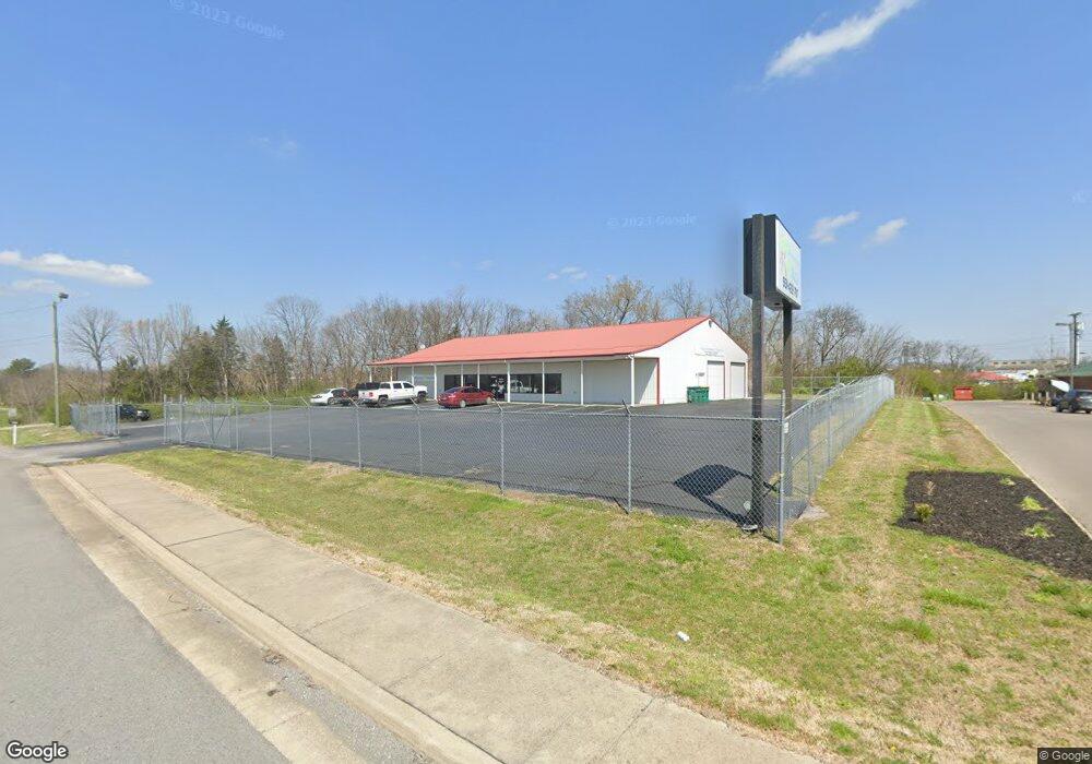
880 Springplace Rd Lewisburg, TN 37091
Estimated Value: $594,448
--
Bed
1
Bath
5,100
Sq Ft
$117/Sq Ft
Est. Value
About This Home
This home is located at 880 Springplace Rd, Lewisburg, TN 37091 and is currently estimated at $594,448, approximately $116 per square foot. 880 Springplace Rd is a home located in Marshall County with nearby schools including Marshall Elementary School, Oak Grove Elementary School, and Westhills Elementary School.
Ownership History
Date
Name
Owned For
Owner Type
Purchase Details
Closed on
Jan 25, 2017
Sold by
Barry Dabney
Bought by
Holder David W and Holder Kimberly R
Current Estimated Value
Home Financials for this Owner
Home Financials are based on the most recent Mortgage that was taken out on this home.
Original Mortgage
$252,778
Interest Rate
4.12%
Mortgage Type
Commercial
Purchase Details
Closed on
May 14, 2008
Sold by
Ronald Dunivant
Bought by
Barry Dabney and Barry Janice
Purchase Details
Closed on
Oct 25, 2004
Bought by
Dunivant Ronald and Dunivant Tracy
Create a Home Valuation Report for This Property
The Home Valuation Report is an in-depth analysis detailing your home's value as well as a comparison with similar homes in the area
Home Values in the Area
Average Home Value in this Area
Purchase History
| Date | Buyer | Sale Price | Title Company |
|---|---|---|---|
| Holder David W | $250,000 | -- | |
| Barry Dabney | $269,000 | -- | |
| Dunivant Ronald | -- | -- |
Source: Public Records
Mortgage History
| Date | Status | Borrower | Loan Amount |
|---|---|---|---|
| Closed | Holder David W | $252,778 |
Source: Public Records
Tax History Compared to Growth
Tax History
| Year | Tax Paid | Tax Assessment Tax Assessment Total Assessment is a certain percentage of the fair market value that is determined by local assessors to be the total taxable value of land and additions on the property. | Land | Improvement |
|---|---|---|---|---|
| 2024 | -- | $118,040 | $12,200 | $105,840 |
| 2023 | $3,664 | $118,040 | $12,200 | $105,840 |
| 2022 | $3,664 | $118,040 | $12,200 | $105,840 |
| 2021 | $5,170 | $111,160 | $10,960 | $100,200 |
| 2020 | $5,170 | $111,160 | $10,960 | $100,200 |
| 2019 | $5,004 | $111,160 | $10,960 | $100,200 |
| 2018 | $4,949 | $111,160 | $10,960 | $100,200 |
| 2017 | $4,949 | $111,160 | $10,960 | $100,200 |
| 2016 | $5,505 | $107,520 | $10,480 | $97,040 |
| 2015 | $5,021 | $107,520 | $10,480 | $97,040 |
| 2014 | $5,021 | $107,520 | $10,480 | $97,040 |
Source: Public Records
Map
Nearby Homes
- 301 East Ave
- 755 Center St
- 224 Hardison Ave
- 535 Clayton Ave
- 125 Armory Dr
- 126 Armory Dr
- 1351 Old Belfast Rd
- 330 Hickory Cir
- 0 Ellington Pkwy Tn Unit RTC2495616
- 411 Elm Ave
- 391 Elm Ave
- 301 Weston Dr
- 131 Isabela Dr
- 141 Isabela Dr
- 159 Mackenzie Way
- MEDFORD Plan at King's Landing
- 157 Mackenzie Way
- 103 Mackenzie Way
- 155 Mackenzie Way
- 153 Mackenzie Way
- 767 Springplace Rd
- 910 Springplace Rd
- 920 Springplace Rd
- 930 Springplace Rd
- 940 Springplace Rd
- 711 S Ellington Pkwy
- 677 Springplace Rd
- 950 Springplace Rd
- 430 Airport Dr
- 426 Airport Dr
- 667 Springplace Rd
- 535 Bridgeview St
- 984 Springplace Rd
- 721 Crestland St
- 745 Crestland St
- 511 Hardison Ave
- 793 Crestland St
- 735 Crestland St
- 693 Crestland St
- 725 Crestland St