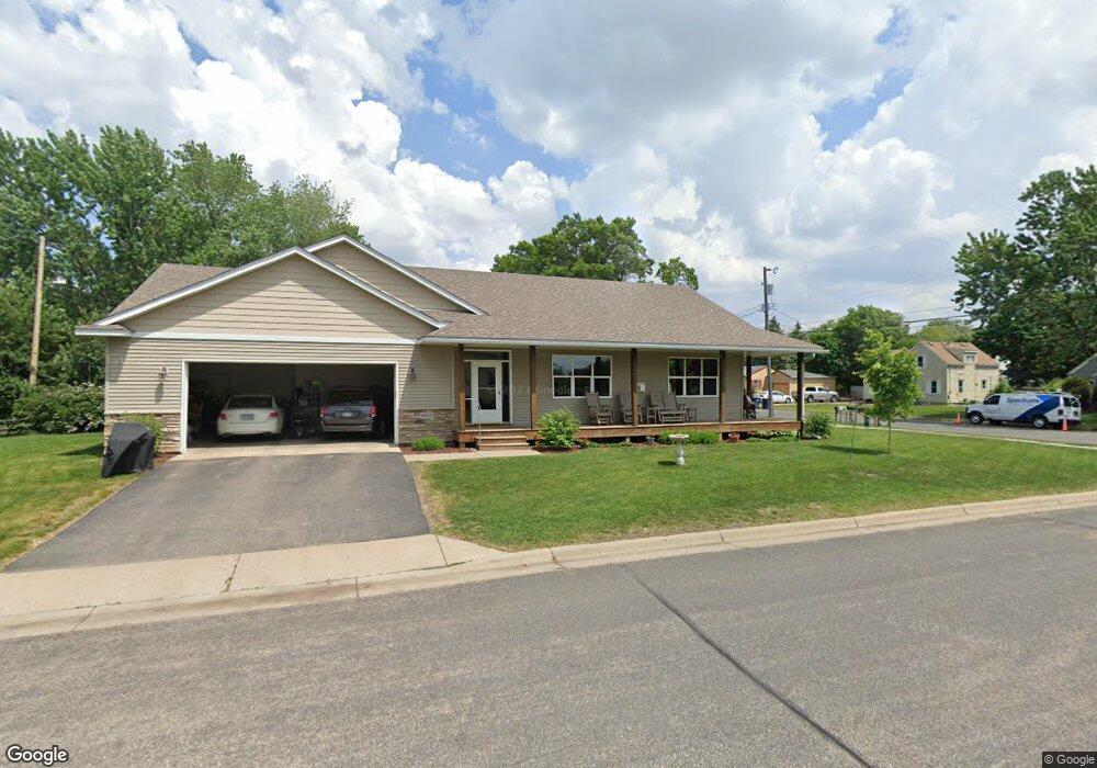
8825 Upper 206th St W Lakeville, MN 55044
Estimated Value: $391,000 - $480,767
5
Beds
3
Baths
1,500
Sq Ft
$296/Sq Ft
Est. Value
About This Home
This home is located at 8825 Upper 206th St W, Lakeville, MN 55044 and is currently estimated at $444,192, approximately $296 per square foot. 8825 Upper 206th St W is a home located in Dakota County with nearby schools including Lake Marion Elementary School, Mcguire Middle School, and Lakeville South High School.
Ownership History
Date
Name
Owned For
Owner Type
Purchase Details
Closed on
Nov 30, 2006
Sold by
Zweber Mark R and Ryan Patricia M
Bought by
Wall David and Wall Catherine
Current Estimated Value
Purchase Details
Closed on
Oct 1, 1996
Sold by
Malkow Craig J
Bought by
Zweber Llc
Purchase Details
Closed on
Mar 31, 1995
Sold by
Tonsager Wayne M and Tonsager Mary Kathleen
Bought by
Zweber Llc
Create a Home Valuation Report for This Property
The Home Valuation Report is an in-depth analysis detailing your home's value as well as a comparison with similar homes in the area
Home Values in the Area
Average Home Value in this Area
Purchase History
| Date | Buyer | Sale Price | Title Company |
|---|---|---|---|
| Wall David | $286,100 | -- | |
| Zweber Llc | -- | -- | |
| Zweber Llc | $32,000 | -- |
Source: Public Records
Mortgage History
| Date | Status | Borrower | Loan Amount |
|---|---|---|---|
| Closed | Zweber Llc | -- |
Source: Public Records
Tax History Compared to Growth
Tax History
| Year | Tax Paid | Tax Assessment Tax Assessment Total Assessment is a certain percentage of the fair market value that is determined by local assessors to be the total taxable value of land and additions on the property. | Land | Improvement |
|---|---|---|---|---|
| 2024 | $5,204 | $429,400 | $66,000 | $363,400 |
| 2023 | $5,204 | $477,000 | $63,900 | $413,100 |
| 2022 | $3,964 | $435,200 | $63,700 | $371,500 |
| 2021 | $3,722 | $341,600 | $55,400 | $286,200 |
| 2020 | $3,980 | $312,100 | $52,800 | $259,300 |
| 2019 | $3,669 | $315,500 | $50,200 | $265,300 |
| 2018 | $3,506 | $302,000 | $47,800 | $254,200 |
| 2017 | $3,174 | $284,900 | $45,500 | $239,400 |
| 2016 | $3,013 | $257,700 | $43,400 | $214,300 |
| 2015 | $2,723 | $219,019 | $39,220 | $179,799 |
| 2014 | -- | $206,266 | $37,763 | $168,503 |
| 2013 | -- | $202,560 | $34,527 | $168,033 |
Source: Public Records
Map
Nearby Homes
- 20685 Howland Ave W
- 20420 Hughes Ave W
- 20304 Hunter Ct
- 20724 Hurley Ave
- 19820 Henning Ave
- 20450 Dodd Blvd
- 20060 Heritage Dr
- 20055 Heritage Dr
- 20144 Holister Ln
- 20023 Homestead Ct Unit 25
- 20055 Holt Ave W
- 20041 Heritage Dr
- 20061 Highview Ave
- 20771 Independence Ave
- 21221 Hummingbird Ln
- 20026 Icenic Trail
- 9485 204th St W
- 20035 Ideal Way
- 19966 Hiawatha Ct
- 8210 208th St W
- 20655 Howland Ave W
- 20640 Hughes Ave W
- 20625 Howland Ave W
- 20630 Hughes Ave W
- 20620 Hughes Ave W
- 20660 Hughes Ave W
- 20665 Howland Ave W
- 20615 Howland Ave W
- 20640 Howland Ave W
- 20630 Howland Ave W
- 20660 Howland Ave W
- 20670 Hughes Ave W
- 20610 Hughes Ave W
- 20620 Howland Ave W
- 20675 Howland Ave W
- 20670 Howland Ave W
- 8790 206th St W
- 20680 Hughes Ave W
- 20645 Hughes Ave W
- 20585 Howland Ave W