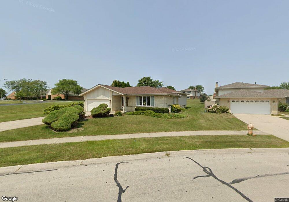
8838 174th St Tinley Park, IL 60487
Central Tinley Park NeighborhoodEstimated Value: $386,802 - $414,000
3
Beds
2
Baths
1,861
Sq Ft
$218/Sq Ft
Est. Value
About This Home
This home is located at 8838 174th St, Tinley Park, IL 60487 and is currently estimated at $405,701, approximately $218 per square foot. 8838 174th St is a home located in Cook County with nearby schools including Christa Mcauliffe School, Prairie View Middle School, and Victor J Andrew High School.
Ownership History
Date
Name
Owned For
Owner Type
Purchase Details
Closed on
Jun 17, 1996
Sold by
Cardassi Lawrence
Bought by
Stock Raymond C and Stock Lilly E
Current Estimated Value
Home Financials for this Owner
Home Financials are based on the most recent Mortgage that was taken out on this home.
Original Mortgage
$40,000
Interest Rate
8.09%
Create a Home Valuation Report for This Property
The Home Valuation Report is an in-depth analysis detailing your home's value as well as a comparison with similar homes in the area
Home Values in the Area
Average Home Value in this Area
Purchase History
| Date | Buyer | Sale Price | Title Company |
|---|---|---|---|
| Stock Raymond C | $173,000 | -- |
Source: Public Records
Mortgage History
| Date | Status | Borrower | Loan Amount |
|---|---|---|---|
| Closed | Stock Raymond C | $40,000 |
Source: Public Records
Tax History Compared to Growth
Tax History
| Year | Tax Paid | Tax Assessment Tax Assessment Total Assessment is a certain percentage of the fair market value that is determined by local assessors to be the total taxable value of land and additions on the property. | Land | Improvement |
|---|---|---|---|---|
| 2024 | $2,330 | $32,001 | $6,682 | $25,319 |
| 2023 | $3,087 | $32,001 | $6,682 | $25,319 |
| 2022 | $3,087 | $25,168 | $5,810 | $19,358 |
| 2021 | $2,909 | $25,168 | $5,810 | $19,358 |
| 2020 | $2,639 | $25,168 | $5,810 | $19,358 |
| 2019 | $2,816 | $29,569 | $5,229 | $24,340 |
| 2018 | $2,760 | $29,569 | $5,229 | $24,340 |
| 2017 | $2,640 | $29,569 | $5,229 | $24,340 |
| 2016 | $3,710 | $24,776 | $4,648 | $20,128 |
| 2015 | $3,856 | $24,776 | $4,648 | $20,128 |
| 2014 | $3,743 | $24,776 | $4,648 | $20,128 |
| 2013 | $3,553 | $25,893 | $4,648 | $21,245 |
Source: Public Records
Map
Nearby Homes
- 17230 Shetland Dr
- 17324 Humber Ln
- Fremont Plan at Radcliffe Place
- Calysta Plan at Radcliffe Place
- Danbury Plan at Radcliffe Place
- Briarcliffe Plan at Radcliffe Place
- Eden Plan at Radcliffe Place
- Amberwood Plan at Radcliffe Place
- 17533 Pecan Ln
- 8543 Carriage Ln
- 8548 Bethany Ln
- 17631 Dover Ct
- 9201 175th St
- 16950 90th Ave
- 17155 Kamp Ct Unit 9
- 8721 W 169th St
- 9260 Windsor Pkwy Unit 80
- 9280 Windsor Pkwy Unit 92
- 8750 W 169th St
- 8456 170th Place
- 8832 174th St
- 8826 174th St
- 8847 Juniper Ct
- 8841 Juniper Ct
- 8835 174th St
- 8820 174th St
- 8853 Juniper Ct
- 17401 Chestnut Dr
- 8825 174th St
- 8835 Juniper Ct
- 8901 174th St
- 17318 Locust Ave
- 17328 Locust Ave
- 17407 Chestnut Dr
- 8819 174th St
- 8909 174th St
- 8842 Juniper Ct
- 17312 Locust Ave
- 8917 174th St
- 17306 Locust Ave