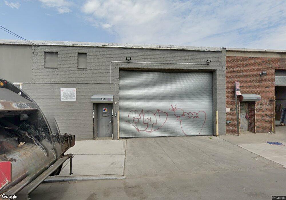
885-897 Shepherd Ave Brooklyn, NY 11208
East New York NeighborhoodEstimated Value: $4,198,178
--
Bed
--
Bath
25,750
Sq Ft
$163/Sq Ft
Est. Value
About This Home
This home is located at 885-897 Shepherd Ave, Brooklyn, NY 11208 and is currently estimated at $4,198,178, approximately $163 per square foot. 885-897 Shepherd Ave is a home located in Kings County with nearby schools including P.S. 224 Hale A Woodruff, Van Siclen Community Middle School, and Our World Neighborhood Charter School 2.
Ownership History
Date
Name
Owned For
Owner Type
Purchase Details
Closed on
Aug 7, 2013
Sold by
Rodolitz Industrial Properties
Bought by
Sit Realty Llc
Current Estimated Value
Purchase Details
Closed on
Mar 20, 1995
Sold by
Rodolitz Abraham J
Bought by
Rodolitz Industrial Properties
Purchase Details
Closed on
Mar 18, 1995
Sold by
Rodolitz Leon
Bought by
Rodolitz Industrial Properties
Purchase Details
Closed on
Nov 8, 1994
Sold by
Herman Myrna and Rodoletz Myrna
Bought by
Rodolitz Industrial Properties
Create a Home Valuation Report for This Property
The Home Valuation Report is an in-depth analysis detailing your home's value as well as a comparison with similar homes in the area
Home Values in the Area
Average Home Value in this Area
Purchase History
| Date | Buyer | Sale Price | Title Company |
|---|---|---|---|
| Sit Realty Llc | $2,400,000 | -- | |
| Rodolitz Industrial Properties | -- | -- | |
| Rodolitz Industrial Properties | -- | -- | |
| Rodolitz Industrial Properties | -- | -- |
Source: Public Records
Tax History Compared to Growth
Tax History
| Year | Tax Paid | Tax Assessment Tax Assessment Total Assessment is a certain percentage of the fair market value that is determined by local assessors to be the total taxable value of land and additions on the property. | Land | Improvement |
|---|---|---|---|---|
| 2025 | $97,647 | $1,114,200 | $297,900 | $816,300 |
| 2024 | $97,647 | $1,020,150 | $297,900 | $722,250 |
| 2023 | $64,116 | $962,550 | $297,900 | $664,650 |
| 2022 | $29,608 | $856,350 | $297,900 | $558,450 |
| 2021 | $74,061 | $692,550 | $297,900 | $394,650 |
| 2020 | $4,470 | $836,550 | $297,900 | $538,650 |
| 2019 | $79,082 | $836,550 | $297,900 | $538,650 |
| 2018 | $75,402 | $813,600 | $297,900 | $515,700 |
| 2017 | $71,471 | $776,700 | $297,900 | $478,800 |
| 2016 | $66,027 | $738,450 | $297,900 | $440,550 |
| 2015 | $24,925 | $685,800 | $297,900 | $387,900 |
| 2014 | $24,925 | $607,950 | $297,900 | $310,050 |
Source: Public Records
Map
Nearby Homes
- 846 Stanley Ave Unit 4383/1
- 846 Stanley Ave
- 586 Milford St
- 589 Milford St
- 956 Hegeman Ave
- 517 Milford St
- 2461 Linden Blvd
- 819 Ashford St
- 2476 Linden Blvd
- 801 Logan St
- 738 Shepherd Ave
- 495 Milford St
- 477 Berriman St
- 777 Logan St
- 878 Euclid Ave
- 791 Linwood St
- 864 Euclid Ave
- 701 Fountain Ave
- 459 Berriman St
- 913 Euclid Ave
- 646 Berriman St
- 907 Shepherd Ave
- 654 Berriman St
- 660-668 Berriman St
- 894 Shepherd Ave
- 898 Shepherd Ave
- 892 Shepherd Ave
- 913-927 Shepherd Ave
- 645 Berriman St
- 670-672 Berriman St
- 931 Stanley Ave
- 933-939 Stanley Ave
- 900-908 Shepherd Ave
- 901 Essex St Unit 917
- 894 Stanley Ave
- 633-643 Berriman St
- 663-665 Berriman St
- 905 Stanley Ave
- 669-671 Berriman St
- 616 Berriman St