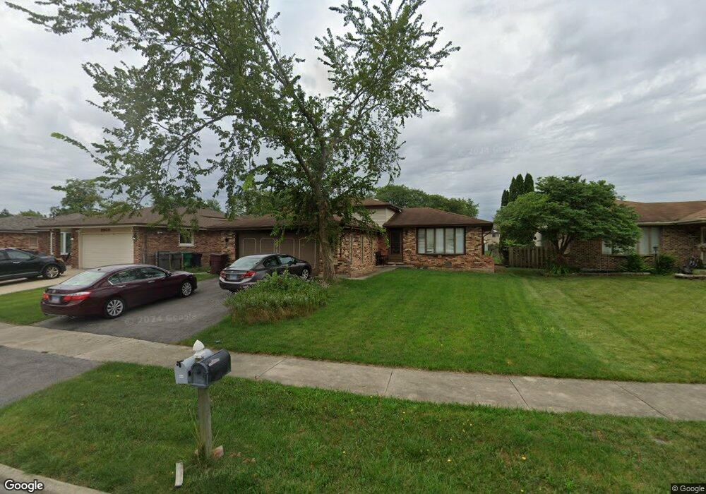
8917 Leslie Dr Orland Hills, IL 60487
Fernway Park NeighborhoodEstimated Value: $322,000 - $355,000
3
Beds
2
Baths
1,078
Sq Ft
$318/Sq Ft
Est. Value
About This Home
This home is located at 8917 Leslie Dr, Orland Hills, IL 60487 and is currently estimated at $343,327, approximately $318 per square foot. 8917 Leslie Dr is a home located in Cook County with nearby schools including Fernway Park Elementary School, Prairie View Middle School, and Victor J Andrew High School.
Ownership History
Date
Name
Owned For
Owner Type
Purchase Details
Closed on
Jan 22, 1999
Sold by
Raval Dilip I
Bought by
Raval Dilip I and Raval Jayshree D
Current Estimated Value
Home Financials for this Owner
Home Financials are based on the most recent Mortgage that was taken out on this home.
Original Mortgage
$121,600
Interest Rate
6.79%
Purchase Details
Closed on
Dec 18, 1998
Sold by
Mccarthy Joseph H and Mccarthy Judy A
Bought by
Raval Dilip I
Home Financials for this Owner
Home Financials are based on the most recent Mortgage that was taken out on this home.
Original Mortgage
$121,600
Interest Rate
6.79%
Create a Home Valuation Report for This Property
The Home Valuation Report is an in-depth analysis detailing your home's value as well as a comparison with similar homes in the area
Home Values in the Area
Average Home Value in this Area
Purchase History
| Date | Buyer | Sale Price | Title Company |
|---|---|---|---|
| Raval Dilip I | -- | -- | |
| Raval Dilip I | $152,000 | -- |
Source: Public Records
Mortgage History
| Date | Status | Borrower | Loan Amount |
|---|---|---|---|
| Closed | Raval Dilip I | $121,600 |
Source: Public Records
Tax History Compared to Growth
Tax History
| Year | Tax Paid | Tax Assessment Tax Assessment Total Assessment is a certain percentage of the fair market value that is determined by local assessors to be the total taxable value of land and additions on the property. | Land | Improvement |
|---|---|---|---|---|
| 2024 | $6,609 | $27,000 | $6,392 | $20,608 |
| 2023 | $5,774 | $27,000 | $6,392 | $20,608 |
| 2022 | $5,774 | $19,504 | $5,209 | $14,295 |
| 2021 | $5,899 | $20,575 | $5,208 | $15,367 |
| 2020 | $5,740 | $20,575 | $5,208 | $15,367 |
| 2019 | $5,349 | $20,223 | $4,735 | $15,488 |
| 2018 | $5,181 | $20,223 | $4,735 | $15,488 |
| 2017 | $5,016 | $20,223 | $4,735 | $15,488 |
| 2016 | $4,999 | $18,242 | $4,261 | $13,981 |
| 2015 | $4,908 | $18,242 | $4,261 | $13,981 |
| 2014 | $4,867 | $18,242 | $4,261 | $13,981 |
| 2013 | $4,320 | $17,649 | $4,261 | $13,388 |
Source: Public Records
Map
Nearby Homes
- 16510 Sussex Dr
- 16753 Hilltop Ave
- 16701 Highview Ave
- 16753 91st Ave
- 16813 89th Ave
- 16805 Hilltop Ave
- 16779 92nd Ave
- 8710 W 168th St
- 8750 W 169th St
- 8564 Cherry Stone Place
- 16231 92nd Ave
- 16950 90th Ave
- 9215 Fox Ct
- 8721 W 169th St
- 9298 Meadowview Dr Unit 9298
- 16101 Haven Ave
- 8735 Golden Rose Dr
- 9404 Lindsay St
- 8400 167th St
- 16121 S 94th Ave
- 8925 Leslie Dr
- 8909 Leslie Dr
- 16540 Sharon Ct
- 8933 Leslie Dr
- 8924 Dwight Ct
- 16550 Sharon Ct
- 16551 Leslie Dr
- 8916 Dwight Ct
- 8916 Leslie Dr
- 8924 Leslie Dr
- 8932 Leslie Dr
- 8908 Leslie Dr
- 8960 Leslie Dr
- 16560 Sharon Ct
- 8881 Leslie Dr
- 8900 Leslie Dr
- 16561 Leslie Dr
- 16561 Sharon Ct
- 8888 Leslie Dr
- 8917 Dwight Ct