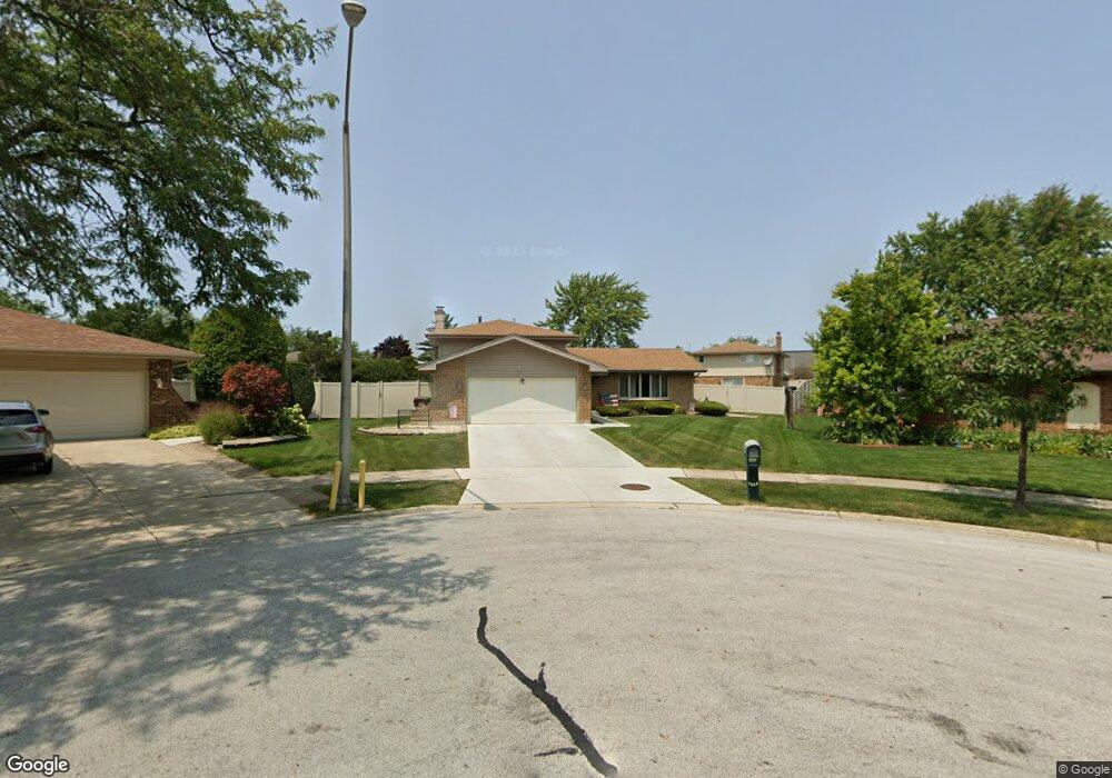
8920 Catalpa Ct Tinley Park, IL 60487
Central Tinley Park NeighborhoodEstimated Value: $353,065 - $402,000
3
Beds
1
Bath
1,323
Sq Ft
$284/Sq Ft
Est. Value
About This Home
This home is located at 8920 Catalpa Ct, Tinley Park, IL 60487 and is currently estimated at $376,266, approximately $284 per square foot. 8920 Catalpa Ct is a home located in Cook County with nearby schools including Christa Mcauliffe School, Prairie View Middle School, and Victor J Andrew High School.
Ownership History
Date
Name
Owned For
Owner Type
Purchase Details
Closed on
Jan 15, 1997
Sold by
Pleta John W and Pleta Patricia A
Bought by
Windt Michael P and Windt Sharon
Current Estimated Value
Home Financials for this Owner
Home Financials are based on the most recent Mortgage that was taken out on this home.
Original Mortgage
$136,000
Outstanding Balance
$14,489
Interest Rate
7.54%
Estimated Equity
$361,777
Purchase Details
Closed on
Jul 12, 1996
Sold by
Pleta John W and Pleta Patricia A
Bought by
Pleta John W and Pleta Patricia A
Create a Home Valuation Report for This Property
The Home Valuation Report is an in-depth analysis detailing your home's value as well as a comparison with similar homes in the area
Home Values in the Area
Average Home Value in this Area
Purchase History
| Date | Buyer | Sale Price | Title Company |
|---|---|---|---|
| Windt Michael P | $170,000 | -- | |
| Pleta John W | -- | -- |
Source: Public Records
Mortgage History
| Date | Status | Borrower | Loan Amount |
|---|---|---|---|
| Open | Windt Michael P | $136,000 |
Source: Public Records
Tax History Compared to Growth
Tax History
| Year | Tax Paid | Tax Assessment Tax Assessment Total Assessment is a certain percentage of the fair market value that is determined by local assessors to be the total taxable value of land and additions on the property. | Land | Improvement |
|---|---|---|---|---|
| 2024 | $7,409 | $30,000 | $9,494 | $20,506 |
| 2023 | $6,083 | $30,000 | $9,494 | $20,506 |
| 2022 | $6,083 | $20,485 | $8,256 | $12,229 |
| 2021 | $5,919 | $20,484 | $8,256 | $12,228 |
| 2020 | $5,841 | $20,484 | $8,256 | $12,228 |
| 2019 | $6,701 | $24,091 | $7,430 | $16,661 |
| 2018 | $6,556 | $24,091 | $7,430 | $16,661 |
| 2017 | $6,399 | $24,091 | $7,430 | $16,661 |
| 2016 | $5,974 | $20,486 | $6,604 | $13,882 |
| 2015 | $5,869 | $20,486 | $6,604 | $13,882 |
| 2014 | $5,837 | $20,486 | $6,604 | $13,882 |
| 2013 | $6,511 | $24,188 | $6,604 | $17,584 |
Source: Public Records
Map
Nearby Homes
- 17230 Shetland Dr
- 17533 Pecan Ln
- 9201 175th St
- 17324 Humber Ln
- Fremont Plan at Radcliffe Place
- Calysta Plan at Radcliffe Place
- Danbury Plan at Radcliffe Place
- Briarcliffe Plan at Radcliffe Place
- Eden Plan at Radcliffe Place
- Amberwood Plan at Radcliffe Place
- 17631 Dover Ct
- 9260 Windsor Pkwy Unit 80
- 9280 Windsor Pkwy Unit 92
- 8543 Carriage Ln
- 8548 Bethany Ln
- 17224 Briar Dr
- 16950 90th Ave
- 9413 Caledonia Dr
- 17018 93rd Ave
- 8721 W 169th St
- 8921 Catalpa Ct
- 8914 Catalpa Ct
- 8923 174th St
- 8929 174th St
- 17413 Mulberry Ave
- 8917 174th St
- 17407 Mulberry Ave
- 8909 174th St
- 8915 Catalpa Ct
- 8908 Catalpa Ct
- 17401 Mulberry Ave
- 17425 Mulberry Ave
- 8909 Catalpa Ct
- 8901 174th St
- 17431 Mulberry Ave
- 17444 Chestnut Dr
- 17437 Mulberry Ave
- 17412 Mulberry Ave
- 17418 Mulberry Ave
- 17406 Mulberry Ave