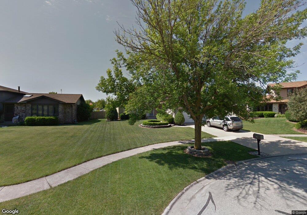
8925 Tayside Ln Tinley Park, IL 60487
Central Tinley Park NeighborhoodEstimated Value: $446,693 - $539,000
4
Beds
3
Baths
2,269
Sq Ft
$220/Sq Ft
Est. Value
About This Home
This home is located at 8925 Tayside Ln, Tinley Park, IL 60487 and is currently estimated at $498,173, approximately $219 per square foot. 8925 Tayside Ln is a home located in Cook County with nearby schools including Christa Mcauliffe School, Prairie View Middle School, and Victor J Andrew High School.
Ownership History
Date
Name
Owned For
Owner Type
Purchase Details
Closed on
Jun 12, 2006
Sold by
Standard Bank & Trust Co
Bought by
Mcdonough James P and Mcdonough Katherine L
Current Estimated Value
Home Financials for this Owner
Home Financials are based on the most recent Mortgage that was taken out on this home.
Original Mortgage
$279,000
Outstanding Balance
$165,037
Interest Rate
6.68%
Mortgage Type
Unknown
Estimated Equity
$333,136
Purchase Details
Closed on
Sep 10, 2003
Sold by
Schuster Frederick M and Schuster Rosanna M
Bought by
Standard Bank & Trust Co and Trust #17893
Create a Home Valuation Report for This Property
The Home Valuation Report is an in-depth analysis detailing your home's value as well as a comparison with similar homes in the area
Home Values in the Area
Average Home Value in this Area
Purchase History
| Date | Buyer | Sale Price | Title Company |
|---|---|---|---|
| Mcdonough James P | $399,000 | Attorneys Title Guaranty Fun | |
| Standard Bank & Trust Co | -- | -- |
Source: Public Records
Mortgage History
| Date | Status | Borrower | Loan Amount |
|---|---|---|---|
| Open | Mcdonough James P | $279,000 |
Source: Public Records
Tax History Compared to Growth
Tax History
| Year | Tax Paid | Tax Assessment Tax Assessment Total Assessment is a certain percentage of the fair market value that is determined by local assessors to be the total taxable value of land and additions on the property. | Land | Improvement |
|---|---|---|---|---|
| 2024 | $9,316 | $36,871 | $4,447 | $32,424 |
| 2023 | $7,844 | $36,871 | $4,447 | $32,424 |
| 2022 | $7,844 | $25,425 | $3,867 | $21,558 |
| 2021 | $7,623 | $25,423 | $3,866 | $21,557 |
| 2020 | $8,500 | $28,394 | $3,866 | $24,528 |
| 2019 | $6,882 | $24,649 | $3,479 | $21,170 |
| 2018 | $6,733 | $24,649 | $3,479 | $21,170 |
| 2017 | $6,572 | $24,649 | $3,479 | $21,170 |
| 2016 | $6,023 | $20,632 | $3,093 | $17,539 |
| 2015 | $5,917 | $20,632 | $3,093 | $17,539 |
| 2014 | $7,513 | $25,633 | $3,093 | $22,540 |
| 2013 | $5,656 | $21,358 | $3,093 | $18,265 |
Source: Public Records
Map
Nearby Homes
- 17230 Shetland Dr
- 17324 Humber Ln
- 17533 Pecan Ln
- 16950 90th Ave
- 9201 175th St
- 8548 Bethany Ln
- Fremont Plan at Radcliffe Place
- Calysta Plan at Radcliffe Place
- Danbury Plan at Radcliffe Place
- Briarcliffe Plan at Radcliffe Place
- Eden Plan at Radcliffe Place
- Amberwood Plan at Radcliffe Place
- 8543 Carriage Ln
- 17224 Briar Dr
- 9260 Windsor Pkwy Unit 80
- 8721 W 169th St
- 17018 93rd Ave
- 8750 W 169th St
- 9280 Windsor Pkwy Unit 92
- 17631 Dover Ct
- 8919 Tayside Ln
- 8931 Tayside Ln
- 8913 Tayside Ln
- 17242 Shetland Dr Unit 3
- 17236 Shetland Dr
- 8918 Tayside Ln
- 8907 Tayside Ln
- 8912 Tayside Ln
- 8901 Tayside Ln
- 8906 Tayside Ln
- 17225 Shetland Dr
- 17224 Shetland Dr
- 17224 Inverness Dr
- 17219 Shetland Dr
- 17218 Shetland Dr
- 17249 Inverness Dr
- 17218 Inverness Dr
- 17237 Inverness Dr
- 17212 Shetland Dr Unit 3
- 17213 Shetland Dr