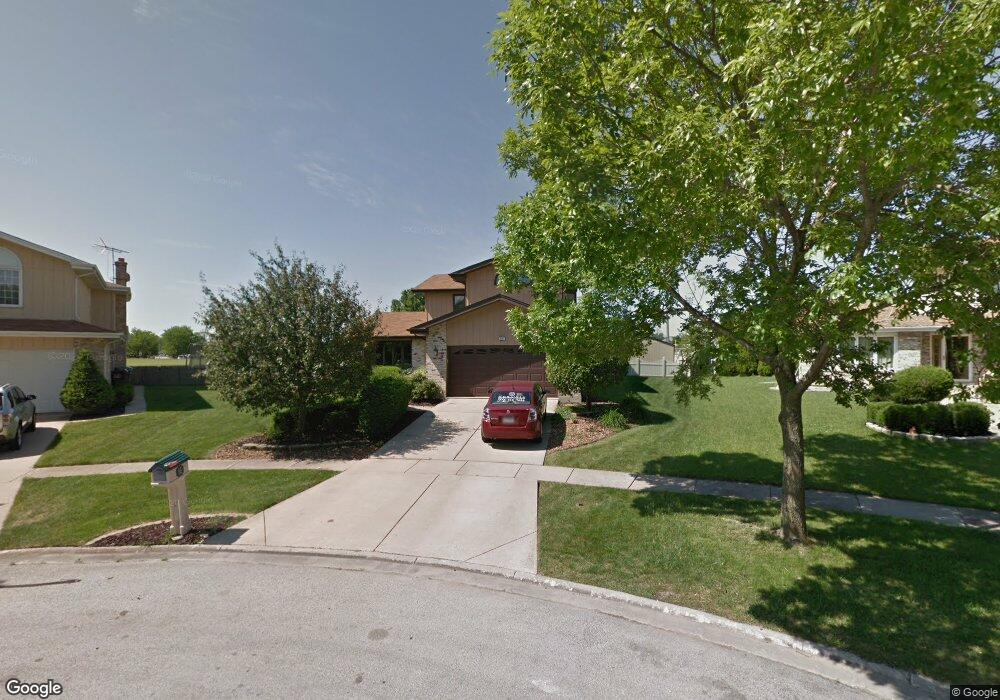
8931 Tayside Ln Tinley Park, IL 60487
Central Tinley Park NeighborhoodEstimated Value: $473,486 - $527,000
4
Beds
3
Baths
2,269
Sq Ft
$219/Sq Ft
Est. Value
About This Home
This home is located at 8931 Tayside Ln, Tinley Park, IL 60487 and is currently estimated at $496,122, approximately $218 per square foot. 8931 Tayside Ln is a home located in Cook County with nearby schools including Christa Mcauliffe School, Prairie View Middle School, and Victor J Andrew High School.
Ownership History
Date
Name
Owned For
Owner Type
Purchase Details
Closed on
Oct 1, 2020
Sold by
Citibank Fsb
Bought by
Austin Joseph S and Austin Linda M
Current Estimated Value
Home Financials for this Owner
Home Financials are based on the most recent Mortgage that was taken out on this home.
Original Mortgage
$374,440
Interest Rate
2.9%
Mortgage Type
FHA
Create a Home Valuation Report for This Property
The Home Valuation Report is an in-depth analysis detailing your home's value as well as a comparison with similar homes in the area
Home Values in the Area
Average Home Value in this Area
Purchase History
| Date | Buyer | Sale Price | Title Company |
|---|---|---|---|
| Austin Joseph S | $382,000 | First American Title |
Source: Public Records
Mortgage History
| Date | Status | Borrower | Loan Amount |
|---|---|---|---|
| Previous Owner | Austin Joseph S | $374,440 |
Source: Public Records
Tax History Compared to Growth
Tax History
| Year | Tax Paid | Tax Assessment Tax Assessment Total Assessment is a certain percentage of the fair market value that is determined by local assessors to be the total taxable value of land and additions on the property. | Land | Improvement |
|---|---|---|---|---|
| 2024 | $9,908 | $39,000 | $9,144 | $29,856 |
| 2023 | $10,084 | $39,000 | $9,144 | $29,856 |
| 2022 | $10,084 | $31,706 | $7,952 | $23,754 |
| 2021 | $10,940 | $31,705 | $7,951 | $23,754 |
| 2020 | $9,613 | $31,705 | $7,951 | $23,754 |
| 2019 | $7,405 | $26,261 | $7,156 | $19,105 |
| 2018 | $8,447 | $30,050 | $7,156 | $22,894 |
| 2017 | $8,240 | $30,050 | $7,156 | $22,894 |
| 2016 | $7,289 | $24,445 | $6,361 | $18,084 |
| 2015 | $7,170 | $24,445 | $6,361 | $18,084 |
| 2014 | $7,126 | $24,445 | $6,361 | $18,084 |
| 2013 | $7,411 | $27,168 | $6,361 | $20,807 |
Source: Public Records
Map
Nearby Homes
- 17230 Shetland Dr
- 17324 Humber Ln
- 17533 Pecan Ln
- 16950 90th Ave
- 9201 175th St
- 8548 Bethany Ln
- Fremont Plan at Radcliffe Place
- Calysta Plan at Radcliffe Place
- Danbury Plan at Radcliffe Place
- Briarcliffe Plan at Radcliffe Place
- Eden Plan at Radcliffe Place
- Amberwood Plan at Radcliffe Place
- 8543 Carriage Ln
- 17224 Briar Dr
- 9260 Windsor Pkwy Unit 80
- 8721 W 169th St
- 17018 93rd Ave
- 8750 W 169th St
- 9280 Windsor Pkwy Unit 92
- 17631 Dover Ct
- 17242 Shetland Dr Unit 3
- 8925 Tayside Ln
- 8919 Tayside Ln
- 17236 Shetland Dr
- 8913 Tayside Ln
- 8918 Tayside Ln
- 17224 Shetland Dr
- 8912 Tayside Ln
- 8907 Tayside Ln
- 17225 Shetland Dr
- 8906 Tayside Ln
- 17218 Shetland Dr
- 8901 Tayside Ln
- 17219 Shetland Dr
- 17224 Inverness Dr
- 17212 Shetland Dr Unit 3
- 17218 Inverness Dr
- 17213 Shetland Dr
- 17249 Inverness Dr
- 17206 Shetland Dr