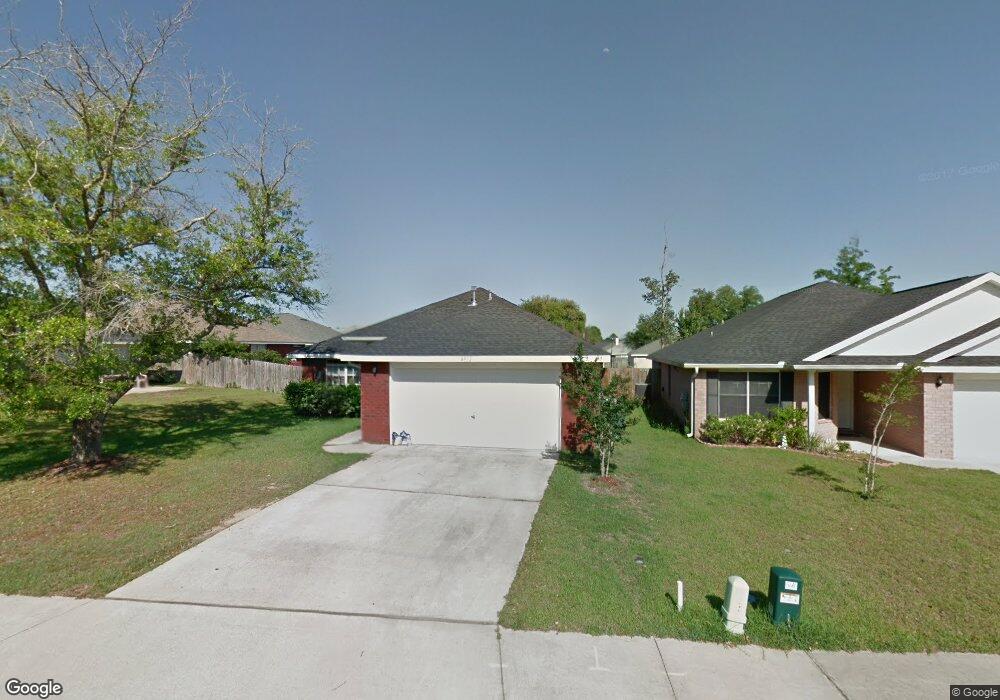
8932 Abbington Dr Pensacola, FL 32534
Estimated Value: $263,000 - $297,000
--
Bed
--
Bath
1,589
Sq Ft
$173/Sq Ft
Est. Value
About This Home
This home is located at 8932 Abbington Dr, Pensacola, FL 32534 and is currently estimated at $275,141, approximately $173 per square foot. 8932 Abbington Dr is a home located in Escambia County with nearby schools including Lincoln Park Elementary School, Beulah Middle School, and J.M. Tate Senior High School.
Ownership History
Date
Name
Owned For
Owner Type
Purchase Details
Closed on
Mar 7, 2018
Sold by
Porter Brian R and Porter Meagan L
Bought by
Porter Brian R
Current Estimated Value
Purchase Details
Closed on
Sep 20, 2007
Sold by
The Mitchell Co
Bought by
Porter Brian R and Porter Meagan L
Home Financials for this Owner
Home Financials are based on the most recent Mortgage that was taken out on this home.
Original Mortgage
$168,259
Outstanding Balance
$106,530
Interest Rate
6.57%
Mortgage Type
FHA
Estimated Equity
$168,611
Create a Home Valuation Report for This Property
The Home Valuation Report is an in-depth analysis detailing your home's value as well as a comparison with similar homes in the area
Home Values in the Area
Average Home Value in this Area
Purchase History
| Date | Buyer | Sale Price | Title Company |
|---|---|---|---|
| Porter Brian R | -- | Attorney | |
| Porter Brian R | $170,900 | Surety Land Title Of Fl Llc |
Source: Public Records
Mortgage History
| Date | Status | Borrower | Loan Amount |
|---|---|---|---|
| Open | Porter Brian R | $168,259 |
Source: Public Records
Tax History Compared to Growth
Tax History
| Year | Tax Paid | Tax Assessment Tax Assessment Total Assessment is a certain percentage of the fair market value that is determined by local assessors to be the total taxable value of land and additions on the property. | Land | Improvement |
|---|---|---|---|---|
| 2024 | $2,854 | $241,897 | $30,000 | $211,897 |
| 2023 | $2,854 | $189,919 | $0 | $0 |
| 2022 | $2,562 | $196,037 | $15,000 | $181,037 |
| 2021 | $2,311 | $159,159 | $0 | $0 |
| 2020 | $2,069 | $142,690 | $0 | $0 |
| 2019 | $1,987 | $135,502 | $0 | $0 |
| 2018 | $1,904 | $126,894 | $0 | $0 |
| 2017 | $1,810 | $117,584 | $0 | $0 |
| 2016 | $1,807 | $115,409 | $0 | $0 |
| 2015 | $1,743 | $110,939 | $0 | $0 |
| 2014 | $1,690 | $106,851 | $0 | $0 |
Source: Public Records
Map
Nearby Homes
- 8907 Abbington Dr
- 8916 Brigade Trail
- 8920 Brigade Trail
- 1433 Claridge Place
- 8964 Abbington Dr
- 8913 Brigade Trail
- 1830 Mary Jo Way
- 1518 Farragut Way
- 1783 Mary Jo Way
- 1755 Mary Jo Way
- 1463 Keylan Cove
- 1760 Paisleigh Dr
- 1772 Paisleigh Dr
- 1904 Mary Jo Way
- 1921 Larkspur Cir
- 1817 Nestle Dr
- Plan 1543 Townhome at Highland Ridge
- 1948 Highland Ridge Ct Unit 6B
- 1944 Highland Ridge Ct Unit 7B
- 1940 Highland Ridge Ct Unit 8B
- 8928 Abbington Dr
- 1597 Newcastle Way
- 0 Abbington Dr
- 1591 Newcastle Way
- 8924 Abbington Dr
- 1585 Newcastle Way
- 8920 Abbington Dr
- 8927 Abbington Dr
- 8931 Abbington Dr
- 8967 Camelot Place
- 8935 Abbington Dr
- 1579 Newcastle Way
- 8961 Camelot Place
- 8923 Abbington Dr
- 8955 Camelot Place
- 8916 Abbington Dr
- 8943 Abbington Dr
- 8919 Abbington Dr
- 1573 Newcastle Way
- 1491 Iroquois Ct