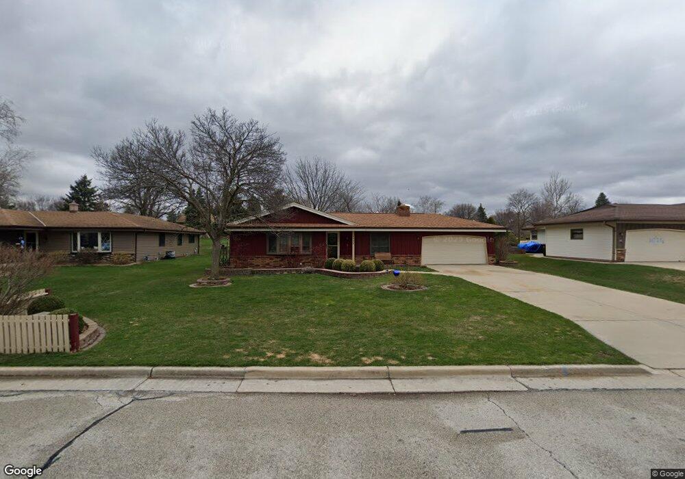
8934 W Whitaker Ave Milwaukee, WI 53228
Estimated Value: $296,233 - $417,000
3
Beds
2
Baths
1,674
Sq Ft
$214/Sq Ft
Est. Value
About This Home
This home is located at 8934 W Whitaker Ave, Milwaukee, WI 53228 and is currently estimated at $359,058, approximately $214 per square foot. 8934 W Whitaker Ave is a home located in Milwaukee County with nearby schools including Maple Grove Elementary School, Greenfield Middle School, and Greenfield High School.
Ownership History
Date
Name
Owned For
Owner Type
Purchase Details
Closed on
May 21, 2001
Sold by
Rupcic Linda L
Bought by
Brendemihl Scott M and Brendemihl Deborah M
Current Estimated Value
Home Financials for this Owner
Home Financials are based on the most recent Mortgage that was taken out on this home.
Original Mortgage
$160,000
Outstanding Balance
$60,098
Interest Rate
7.11%
Mortgage Type
Purchase Money Mortgage
Estimated Equity
$298,960
Create a Home Valuation Report for This Property
The Home Valuation Report is an in-depth analysis detailing your home's value as well as a comparison with similar homes in the area
Home Values in the Area
Average Home Value in this Area
Purchase History
| Date | Buyer | Sale Price | Title Company |
|---|---|---|---|
| Brendemihl Scott M | $185,000 | Priority Title Corp |
Source: Public Records
Mortgage History
| Date | Status | Borrower | Loan Amount |
|---|---|---|---|
| Open | Brendemihl Scott M | $160,000 |
Source: Public Records
Tax History Compared to Growth
Tax History
| Year | Tax Paid | Tax Assessment Tax Assessment Total Assessment is a certain percentage of the fair market value that is determined by local assessors to be the total taxable value of land and additions on the property. | Land | Improvement |
|---|---|---|---|---|
| 2024 | $5,262 | $299,600 | $79,200 | $220,400 |
| 2023 | $5,262 | $299,600 | $79,200 | $220,400 |
| 2022 | $4,633 | $176,400 | $60,800 | $115,600 |
| 2021 | $4,824 | $176,400 | $60,800 | $115,600 |
| 2020 | $4,856 | $176,400 | $60,800 | $115,600 |
| 2019 | $4,709 | $176,400 | $60,800 | $115,600 |
| 2018 | $5,010 | $176,400 | $60,800 | $115,600 |
| 2017 | $4,630 | $176,400 | $60,800 | $115,600 |
| 2016 | $4,698 | $176,400 | $60,800 | $115,600 |
| 2015 | $4,652 | $176,400 | $60,800 | $115,600 |
| 2014 | $4,637 | $176,400 | $60,800 | $115,600 |
| 2013 | $4,746 | $176,400 | $60,800 | $115,600 |
Source: Public Records
Map
Nearby Homes
- 9000 W Cold Spring Rd
- 4256 S 96th St
- 3965 S 84th St Unit 5
- 3939 S 85th St
- 7911 W Cold Spring Rd
- 4050 S Shady Lane Ct
- 3735 S 91st St
- 3762 S 94th St
- 8101 W Tripoli Ave Unit 8103
- 3717 S 84th St
- 9409 W Wilbur Ave
- 3625 S 88th St
- 8200 W New Jersey Ave
- 4962 S 82nd St
- 3558 S 92nd St
- 3608 S 95th St
- 4442 S Greenridge Cir Unit 4442F
- 3965 S 75th St
- 7701 W Barnard Ave
- 8937 W Morgan Ave Unit 8939
- 8958 W Whitaker Ave
- 8910 W Whitaker Ave
- 4315 S 89th St
- 8907 W Coldspring Rd
- 9006 W Whitaker Ave
- 8949 W Whitaker Ave
- 4303 S 89th St
- 8925 W Whitaker Ave
- 8919 W Coldspring Rd
- 4324 S 89th St
- 4336 S 89th St
- 8901 W Whitaker Ave
- 4345 S 90th St
- 4312 S 89th St
- 9018 W Whitaker Ave
- 8877 W Whitaker Ave
- 4360 S 90th St
- 8921 W Coldspring Rd
- 4300 S 89th St
- 4357 S 90th St