894 S 1st St Buckley, MI 49620
Estimated Value: $449,000 - $674,000
--
Bed
--
Bath
--
Sq Ft
3.59
Acres
About This Home
This home is located at 894 S 1st St, Buckley, MI 49620 and is currently estimated at $579,284. 894 S 1st St is a home located in Wexford County with nearby schools including Buckley Community Schools.
Ownership History
Date
Name
Owned For
Owner Type
Purchase Details
Closed on
Dec 27, 2023
Sold by
Tompkins Patricia A
Bought by
Odell Christopher J and Odell Jamie L
Current Estimated Value
Purchase Details
Closed on
Jul 27, 2018
Sold by
Vogelsong Michael J and Vogelsong Victoria S
Bought by
Anderson Michael J and Anderson Barbara J
Home Financials for this Owner
Home Financials are based on the most recent Mortgage that was taken out on this home.
Original Mortgage
$342,000
Interest Rate
4.5%
Mortgage Type
New Conventional
Purchase Details
Closed on
Sep 13, 2012
Sold by
Steinhebel Eric J and Steinhebel Sandra A
Bought by
Vogelsong Michael J and Vogelsong Victoria S
Create a Home Valuation Report for This Property
The Home Valuation Report is an in-depth analysis detailing your home's value as well as a comparison with similar homes in the area
Home Values in the Area
Average Home Value in this Area
Purchase History
| Date | Buyer | Sale Price | Title Company |
|---|---|---|---|
| Odell Christopher J | $494,000 | -- | |
| Anderson Michael J | -- | -- | |
| Vogelsong Michael J | $245,000 | Northern Title Agency |
Source: Public Records
Mortgage History
| Date | Status | Borrower | Loan Amount |
|---|---|---|---|
| Previous Owner | Anderson Michael J | $342,000 |
Source: Public Records
Tax History Compared to Growth
Tax History
| Year | Tax Paid | Tax Assessment Tax Assessment Total Assessment is a certain percentage of the fair market value that is determined by local assessors to be the total taxable value of land and additions on the property. | Land | Improvement |
|---|---|---|---|---|
| 2025 | $9,217 | $282,500 | $0 | $0 |
| 2024 | $5,214 | $247,400 | $0 | $0 |
| 2023 | $6,396 | $248,800 | $0 | $0 |
| 2022 | $5,928 | $202,000 | $0 | $0 |
| 2021 | $9,347 | $169,100 | $0 | $0 |
| 2020 | $6,961 | $184,200 | $0 | $0 |
| 2019 | $7,124 | $187,900 | $0 | $0 |
| 2018 | -- | $145,500 | $0 | $0 |
| 2017 | -- | $133,700 | $0 | $0 |
| 2016 | -- | $129,700 | $0 | $0 |
| 2015 | -- | $122,100 | $0 | $0 |
| 2013 | -- | $85,000 | $0 | $0 |
Source: Public Records
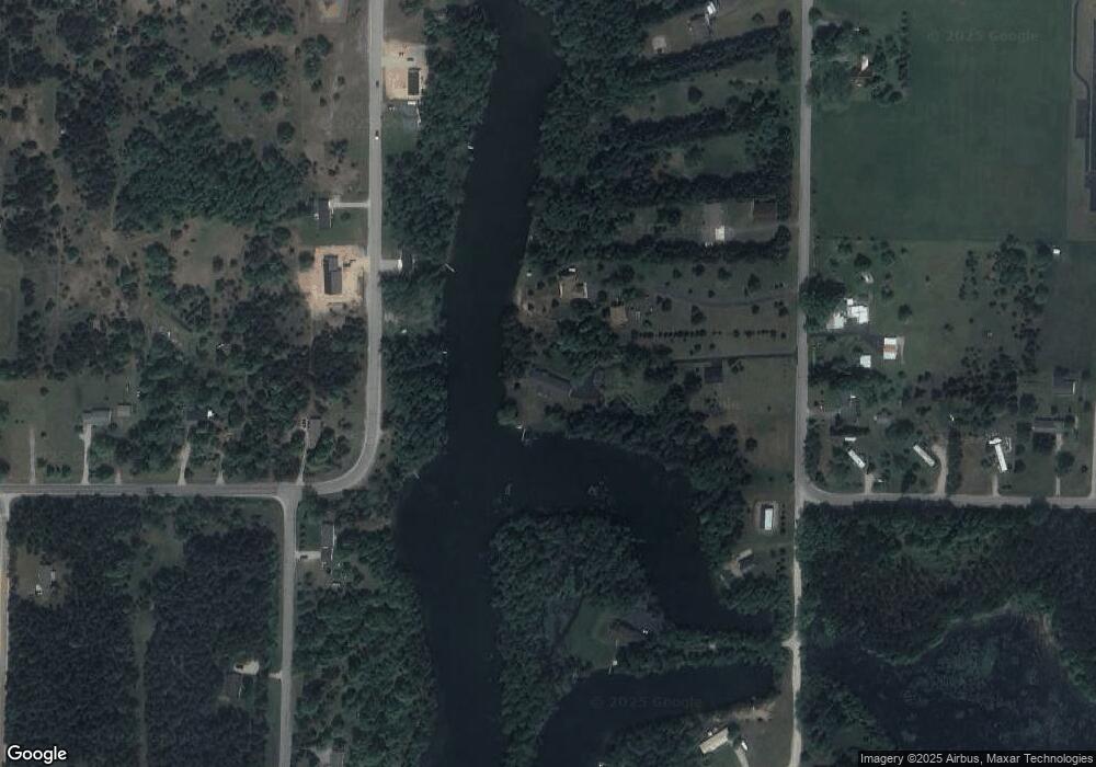
Map
Nearby Homes
- 801 S 1st St
- 114 Brigham
- 314 E South St
- 130 Timberlane Trail
- Parcel F 2 1 2 Rd
- Parcel F-2 2 1 2 Rd
- 10.01 2 1 2 Rd
- 11700 N 11 Rd
- 11110 County Road 633
- Parcel F-3 N 2 1 2 Rd
- 6884 Zue Rd
- 3976 Irvin Rd
- 9297 Kingsfield Dr
- 00 Wilson Rd
- 9217 Kingsfield Dr
- 9068 Kingsfield Dr
- 9068 Kingsfield Dr Unit 46
- 9085 Kingsfield Dr
- 25 Hollowbrook Dr
- 000 Riverview Rd
- 894 S 1st St
- 786 S 1st St
- 00 S 1st St
- 700 S 1st St
- 851 S 1st St
- 4990 W 4 Rd
- 4950 W 4 Rd
- 11036 Lakeshore Dr
- 4950 & 4990 W 4 Rd
- 000 4 Rd Unit 358
- M37 4 Rd
- 1 W 4 Rd Unit 31
- 00 W 4 Rd
- 0 4 Rd Unit 1805371
- 0000 4 Rd Unit 356+
- 0000 4 Rd Unit 358+
- 000 4 Rd
- 0000 4 Rd
- 1 W 4 Rd Unit 74 ac parcel
- 1 W 4 Rd Unit 44 ac parcel