8948 Browns Mill Rd Greencastle, PA 17225
Estimated Value: $136,819 - $624,000
--
Bed
--
Bath
--
Sq Ft
87.2
Acres
About This Home
This home is located at 8948 Browns Mill Rd, Greencastle, PA 17225 and is currently estimated at $422,606. 8948 Browns Mill Rd is a home located in Franklin County with nearby schools including Greencastle-Antrim Primary School, Greencastle-Antrim Elementary School, and Greencastle-Antrim Middle School.
Ownership History
Date
Name
Owned For
Owner Type
Purchase Details
Closed on
Dec 13, 2018
Sold by
Martin Sallie A
Bought by
Showalter Glenn L and Showalter Laura J
Current Estimated Value
Home Financials for this Owner
Home Financials are based on the most recent Mortgage that was taken out on this home.
Original Mortgage
$720,000
Outstanding Balance
$634,335
Interest Rate
4.8%
Mortgage Type
Purchase Money Mortgage
Estimated Equity
-$211,729
Create a Home Valuation Report for This Property
The Home Valuation Report is an in-depth analysis detailing your home's value as well as a comparison with similar homes in the area
Home Values in the Area
Average Home Value in this Area
Purchase History
| Date | Buyer | Sale Price | Title Company |
|---|---|---|---|
| Showalter Glenn L | $800,000 | None Available |
Source: Public Records
Mortgage History
| Date | Status | Borrower | Loan Amount |
|---|---|---|---|
| Open | Showalter Glenn L | $720,000 |
Source: Public Records
Tax History Compared to Growth
Tax History
| Year | Tax Paid | Tax Assessment Tax Assessment Total Assessment is a certain percentage of the fair market value that is determined by local assessors to be the total taxable value of land and additions on the property. | Land | Improvement |
|---|---|---|---|---|
| 2025 | $10,857 | $64,900 | $10,330 | $54,570 |
| 2024 | $9,850 | $64,900 | $10,330 | $54,570 |
| 2023 | $9,734 | $64,900 | $10,330 | $54,570 |
| 2022 | $9,734 | $64,900 | $10,330 | $54,570 |
| 2021 | $9,545 | $64,900 | $10,330 | $54,570 |
| 2020 | $9,296 | $64,900 | $10,330 | $54,570 |
| 2019 | $9,085 | $64,900 | $10,330 | $54,570 |
| 2018 | $8,988 | $64,900 | $10,330 | $54,570 |
| 2017 | $8,761 | $64,900 | $10,330 | $54,570 |
| 2016 | $1,859 | $64,900 | $10,330 | $54,570 |
| 2015 | $1,733 | $64,900 | $10,330 | $54,570 |
| 2014 | $1,733 | $64,900 | $10,330 | $54,570 |
Source: Public Records
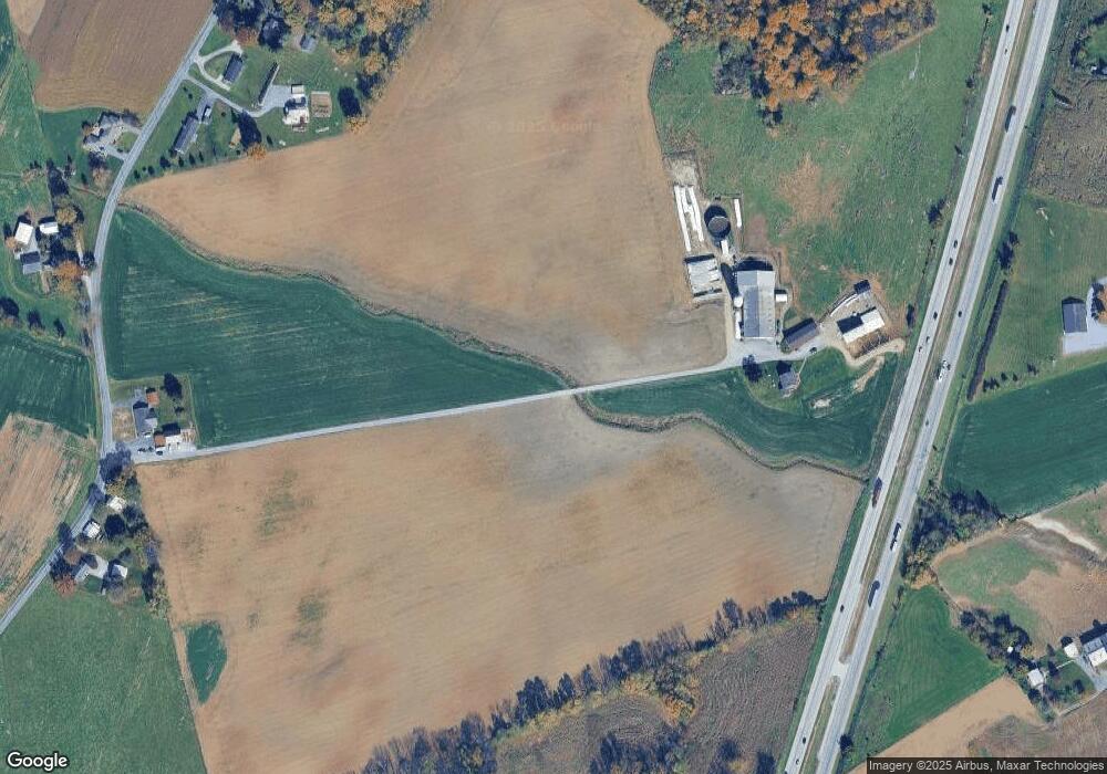
Map
Nearby Homes
- 560 Meadowview Cir
- 790 Antrim Ln
- 373 Craig Rd
- 7290 Angle Rd
- 602 Brookview Dr
- 64 W Walter Ave
- 90 W Walter Ave
- 227 Tyrone St
- 12 Edward Dr
- 231 N Allison St Unit 1
- 533 Hilltop Cir
- 30 Parkwood Dr
- 148 E Madison St
- 148 N Carlisle St
- 642 Shannon Dr S
- 171 Celestial Terrace
- 101 N Carlisle St
- 0 Celestial Terrace
- 271 E Baltimore St
- 823 Buchanan Trail E
- 490 Zarger Rd
- 350 Zarger Rd
- 8518 Browns Mill Rd
- 8786 Browns Mill Rd
- 334 Zarger Rd
- 328 Zarger Rd
- 8718 Browns Mill Rd
- 8748 Browns Mill Rd
- 8750 Browns Mill Rd
- 8836 Browns Mill Rd
- 322 Zarger Rd
- 503 Zarger Rd
- 8930 Browns Mill Rd
- 8692 Browns Mill Rd
- 8656 Browns Mill Rd
- 314 Zarger Rd
- 8634 Browns Mill Rd
- 8958 Browns Mill Rd
- 8618 Browns Mill Rd
- 8600 Browns Mill Rd