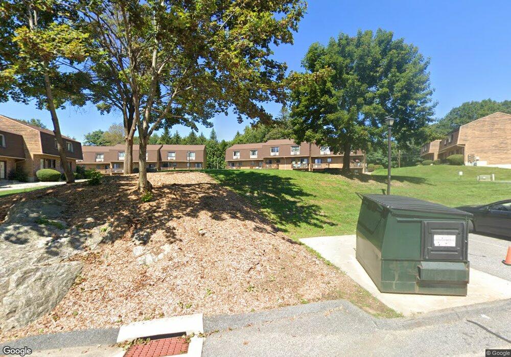
895 Matthews St Unit 40 Bristol, CT 06010
North Bristol NeighborhoodEstimated Value: $188,000 - $202,000
2
Beds
2
Baths
972
Sq Ft
$202/Sq Ft
Est. Value
About This Home
This home is located at 895 Matthews St Unit 40, Bristol, CT 06010 and is currently estimated at $196,397, approximately $202 per square foot. 895 Matthews St Unit 40 is a home located in Hartford County with nearby schools including West Bristol Sch, Bristol Central High School, and Immanuel Lutheran School.
Ownership History
Date
Name
Owned For
Owner Type
Purchase Details
Closed on
Aug 27, 2013
Sold by
Papazian Jeffrey A
Bought by
Papazian Michael
Current Estimated Value
Purchase Details
Closed on
Aug 12, 2005
Sold by
Dbr Developers Llc
Bought by
Papazian Jeffrey A
Home Financials for this Owner
Home Financials are based on the most recent Mortgage that was taken out on this home.
Original Mortgage
$83,900
Interest Rate
5.54%
Create a Home Valuation Report for This Property
The Home Valuation Report is an in-depth analysis detailing your home's value as well as a comparison with similar homes in the area
Home Values in the Area
Average Home Value in this Area
Purchase History
| Date | Buyer | Sale Price | Title Company |
|---|---|---|---|
| Papazian Michael | $85,000 | -- | |
| Papazian Jeffrey A | $104,900 | -- |
Source: Public Records
Mortgage History
| Date | Status | Borrower | Loan Amount |
|---|---|---|---|
| Previous Owner | Papazian Jeffrey A | $83,900 |
Source: Public Records
Tax History Compared to Growth
Tax History
| Year | Tax Paid | Tax Assessment Tax Assessment Total Assessment is a certain percentage of the fair market value that is determined by local assessors to be the total taxable value of land and additions on the property. | Land | Improvement |
|---|---|---|---|---|
| 2025 | $3,393 | $100,520 | $0 | $100,520 |
| 2024 | $3,202 | $100,520 | $0 | $100,520 |
| 2023 | $3,051 | $100,520 | $0 | $100,520 |
| 2022 | $2,180 | $56,840 | $0 | $56,840 |
| 2021 | $2,180 | $56,840 | $0 | $56,840 |
| 2020 | $2,180 | $56,840 | $0 | $56,840 |
| 2019 | $2,163 | $56,840 | $0 | $56,840 |
| 2018 | $2,096 | $56,840 | $0 | $56,840 |
| 2017 | $2,434 | $67,550 | $0 | $67,550 |
| 2016 | $2,434 | $67,550 | $0 | $67,550 |
| 2015 | $2,338 | $67,550 | $0 | $67,550 |
| 2014 | $2,338 | $67,550 | $0 | $67,550 |
Source: Public Records
Map
Nearby Homes
- 565 Clark Ave Unit 17
- 565 Clark Ave Unit 18
- 565 Clark Ave Unit 70
- 820 Matthews St Unit 29
- 441 Clark Ave Unit 2
- 441 Clark Ave Unit 5
- 21 Sandra Ave
- 19 Main St
- 26 Martin Rd
- 6 Ridgecrest Ln
- 17 Hoye St
- 14 Church St
- Lots 16, 18 and 22 E Hill St
- 2 Sandra Ave
- 65 Gino Dr
- 62 Gino Dr
- 66 Gino Dr
- 120 Barlow St
- 78 Kearney St
- 11 William St
- 895 Matthews St Unit 56
- 895 Matthews St Unit 62
- 895 Matthews St Unit 61
- 895 Matthews St Unit 60
- 895 Matthews St Unit 59
- 895 Matthews St Unit 58
- 895 Matthews St Unit 57
- 895 Matthews St Unit 55
- 895 Matthews St Unit 54
- 895 Matthews St Unit 53
- 895 Matthews St Unit 52
- 895 Matthews St Unit 51
- 895 Matthews St Unit 50
- 895 Matthews St Unit 49
- 895 Matthews St Unit 48
- 895 Matthews St Unit 47
- 895 Matthews St Unit 45
- 895 Matthews St Unit 44
- 895 Matthews St Unit 43
- 895 Matthews St Unit 41