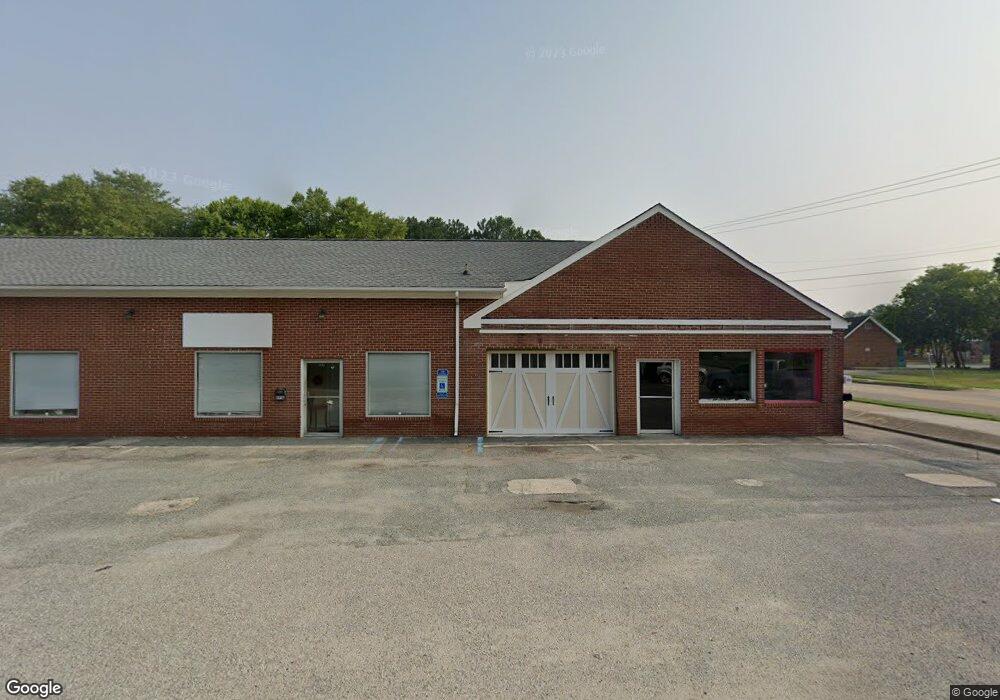
895 Yorktown Rd Poquoson, VA 23662
Poquoson Shores NeighborhoodEstimated Value: $905,789
--
Bed
--
Bath
7,507
Sq Ft
$121/Sq Ft
Est. Value
About This Home
This home is located at 895 Yorktown Rd, Poquoson, VA 23662 and is currently estimated at $905,789, approximately $120 per square foot. 895 Yorktown Rd is a home located in Poquoson City with nearby schools including Emmanuel Lutheran School, Living Word Academy, and Summit Christian Academy - Upper School.
Ownership History
Date
Name
Owned For
Owner Type
Purchase Details
Closed on
Apr 30, 2015
Sold by
B C Smith Co Inc
Bought by
Bay River Enterprises Llc
Current Estimated Value
Home Financials for this Owner
Home Financials are based on the most recent Mortgage that was taken out on this home.
Original Mortgage
$440,000
Outstanding Balance
$339,941
Interest Rate
3.76%
Mortgage Type
Commercial
Estimated Equity
$565,848
Create a Home Valuation Report for This Property
The Home Valuation Report is an in-depth analysis detailing your home's value as well as a comparison with similar homes in the area
Home Values in the Area
Average Home Value in this Area
Purchase History
| Date | Buyer | Sale Price | Title Company |
|---|---|---|---|
| Bay River Enterprises Llc | $500,000 | -- |
Source: Public Records
Mortgage History
| Date | Status | Borrower | Loan Amount |
|---|---|---|---|
| Open | Bay River Enterprises Llc | $440,000 |
Source: Public Records
Tax History Compared to Growth
Tax History
| Year | Tax Paid | Tax Assessment Tax Assessment Total Assessment is a certain percentage of the fair market value that is determined by local assessors to be the total taxable value of land and additions on the property. | Land | Improvement |
|---|---|---|---|---|
| 2024 | $6,045 | $530,300 | $157,200 | $373,100 |
| 2023 | $5,886 | $530,300 | $157,200 | $373,100 |
| 2022 | $5,563 | $492,300 | $98,100 | $394,200 |
| 2021 | $5,563 | $492,300 | $98,100 | $394,200 |
| 2020 | -- | $492,300 | $98,100 | $394,200 |
| 2019 | -- | $492,300 | $98,100 | $394,200 |
| 2018 | -- | $492,300 | $98,100 | $394,200 |
| 2017 | -- | $259,500 | $98,100 | $161,400 |
| 2016 | -- | $259,500 | $98,100 | $161,400 |
| 2015 | -- | $264,700 | $103,300 | $161,400 |
| 2013 | -- | $264,700 | $103,300 | $161,400 |
Source: Public Records
Map
Nearby Homes
- 11 Valmoore Dr
- 8 Wornom Farm Rd
- 63 Charles Parish Dr
- 28 Pasture Rd
- 40 Valmoore Dr
- 11 Dorothy Dr
- 41 W Sandy Point Rd
- 11 Bull Run
- 15+AC Browns Neck Rd
- 45 Valasia Rd
- 718C Poquoson Ave
- 9 Cherokee Dr
- 706 Yorktown Rd
- 21 Rens Rd
- 1 Phillips Rd
- 105 Rens Rd Unit 74
- 105 Rens Rd Unit 30
- 105 Rens Rd Unit 2
- 105 Rens Rd Unit Lot 48
- 20 Pickins Dr
- 11 Hunts Neck Rd
- 3 Hunts Neck Rd
- 9 Hunts Neck Rd
- 889 Yorktown Rd
- 2 Hunts Neck Rd
- 900 Yorktown Rd
- 1/2 Hunts Neck Rd
- 4 Hunts Neck Rd
- 13 Hunts Neck Rd
- 882 Yorktown Rd
- 887 Yorktown Rd
- 902 Yorktown Rd
- 6 Hunts Neck Rd
- 878 Yorktown Rd
- 877 Yorktown Rd
- 1 Marbec Ln
- 19 Hunts Neck Rd
- 2 W River Rd
- 876 Yorktown Rd
- 4 W River Rd