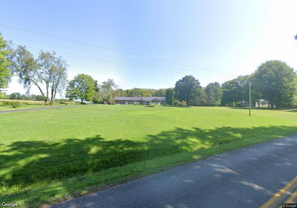
8952 Pettis Rd Meadville, PA 16335
Estimated Value: $259,514
--
Bed
--
Bath
--
Sq Ft
3.27
Acres
About This Home
This home is located at 8952 Pettis Rd, Meadville, PA 16335 and is currently estimated at $259,514. 8952 Pettis Rd is a home located in Crawford County with nearby schools including Maplewood Elementary School, Maplewood Junior/Senior High School, and Foundation Christian School.
Ownership History
Date
Name
Owned For
Owner Type
Purchase Details
Closed on
Jul 22, 2015
Sold by
Anderson Julie S and Knapka Julie S
Bought by
Davis Phillip H and Davis Laura J
Current Estimated Value
Home Financials for this Owner
Home Financials are based on the most recent Mortgage that was taken out on this home.
Original Mortgage
$110,400
Outstanding Balance
$86,413
Interest Rate
3.97%
Mortgage Type
New Conventional
Estimated Equity
$173,101
Create a Home Valuation Report for This Property
The Home Valuation Report is an in-depth analysis detailing your home's value as well as a comparison with similar homes in the area
Home Values in the Area
Average Home Value in this Area
Purchase History
| Date | Buyer | Sale Price | Title Company |
|---|---|---|---|
| Davis Phillip H | $138,000 | Attorney |
Source: Public Records
Mortgage History
| Date | Status | Borrower | Loan Amount |
|---|---|---|---|
| Open | Davis Phillip H | $110,400 |
Source: Public Records
Tax History Compared to Growth
Tax History
| Year | Tax Paid | Tax Assessment Tax Assessment Total Assessment is a certain percentage of the fair market value that is determined by local assessors to be the total taxable value of land and additions on the property. | Land | Improvement |
|---|---|---|---|---|
| 2025 | $865 | $31,050 | $1,350 | $29,700 |
| 2024 | $2,487 | $31,050 | $1,350 | $29,700 |
| 2023 | $2,487 | $31,050 | $1,350 | $29,700 |
| 2022 | $2,472 | $31,050 | $1,350 | $29,700 |
| 2021 | $2,456 | $31,050 | $1,350 | $29,700 |
| 2020 | $2,456 | $31,050 | $1,350 | $29,700 |
| 2019 | $2,441 | $31,050 | $1,350 | $29,700 |
| 2018 | $2,340 | $31,050 | $1,350 | $29,700 |
| 2017 | $2,284 | $31,050 | $1,350 | $29,700 |
| 2016 | $663 | $31,050 | $1,350 | $29,700 |
| 2015 | $663 | $31,050 | $1,350 | $29,700 |
| 2014 | -- | $31,050 | $1,350 | $29,700 |
Source: Public Records
Map
Nearby Homes
- 21427 Phelps Rd
- 24155 State Route 27
- 6528 Mccracken Rd
- 21412 Shick Dr
- 6204-017-2 Shick Dr
- 21757 Star Route
- 20231 Homecroft Rd
- 10845 Graff St
- 12336 Leslie Rd
- 20899 Star Route
- 10223 Liberty Street Extension
- 826 Irvin Ave
- 12988 Raymond Dr
- 970 S Morgan St
- 703-705 Chestnut St
- 908 Fairview Ave
- 802 Brawley Ave
- 7691 Mercer Pike
- 685 Chestnut St
- 23078 Mallard Ln