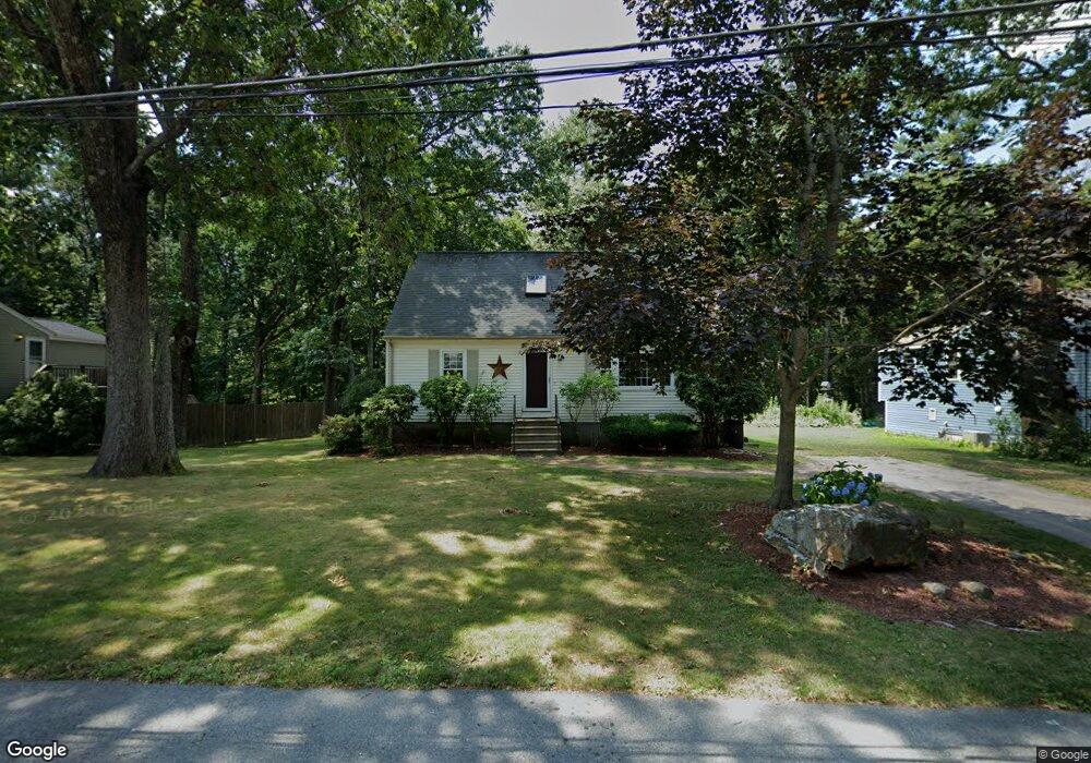
9 Dartmouth Dr Milford, MA 01757
Estimated Value: $543,569 - $606,000
4
Beds
2
Baths
1,800
Sq Ft
$324/Sq Ft
Est. Value
About This Home
This home is located at 9 Dartmouth Dr, Milford, MA 01757 and is currently estimated at $583,642, approximately $324 per square foot. 9 Dartmouth Dr is a home located in Worcester County with nearby schools including Milford High School.
Ownership History
Date
Name
Owned For
Owner Type
Purchase Details
Closed on
Aug 26, 2002
Sold by
Bird Thomas P and Bird Michelle M
Bought by
Pearl Gregory A and Pearl Carol J
Current Estimated Value
Home Financials for this Owner
Home Financials are based on the most recent Mortgage that was taken out on this home.
Original Mortgage
$275,400
Outstanding Balance
$117,810
Interest Rate
6.57%
Mortgage Type
Purchase Money Mortgage
Estimated Equity
$465,832
Purchase Details
Closed on
Aug 1, 1995
Sold by
Owens Judith and Macy Nicholas
Bought by
Bird Thomas and Bird Michelle
Purchase Details
Closed on
Nov 27, 1992
Sold by
Bradford James A and Bradford Susan
Bought by
Macy Nicholas B and Owens Judith
Create a Home Valuation Report for This Property
The Home Valuation Report is an in-depth analysis detailing your home's value as well as a comparison with similar homes in the area
Home Values in the Area
Average Home Value in this Area
Purchase History
| Date | Buyer | Sale Price | Title Company |
|---|---|---|---|
| Pearl Gregory A | $289,900 | -- | |
| Bird Thomas | $136,000 | -- | |
| Macy Nicholas B | $135,000 | -- |
Source: Public Records
Mortgage History
| Date | Status | Borrower | Loan Amount |
|---|---|---|---|
| Open | Macy Nicholas B | $275,400 | |
| Closed | Macy Nicholas B | $132,000 | |
| Previous Owner | Macy Nicholas B | $5,900 |
Source: Public Records
Tax History Compared to Growth
Tax History
| Year | Tax Paid | Tax Assessment Tax Assessment Total Assessment is a certain percentage of the fair market value that is determined by local assessors to be the total taxable value of land and additions on the property. | Land | Improvement |
|---|---|---|---|---|
| 2025 | $5,932 | $463,400 | $181,600 | $281,800 |
| 2024 | $5,812 | $437,300 | $174,400 | $262,900 |
| 2023 | $5,575 | $385,800 | $145,300 | $240,500 |
| 2022 | $5,359 | $348,200 | $134,400 | $213,800 |
| 2021 | $5,005 | $313,200 | $134,400 | $178,800 |
| 2020 | $4,879 | $305,700 | $134,400 | $171,300 |
| 2019 | $4,864 | $294,100 | $134,400 | $159,700 |
| 2018 | $4,605 | $278,100 | $129,000 | $149,100 |
| 2017 | $4,459 | $265,600 | $129,000 | $136,600 |
| 2016 | $4,355 | $253,500 | $129,000 | $124,500 |
| 2015 | $4,245 | $241,900 | $123,500 | $118,400 |
Source: Public Records
Map
Nearby Homes
- 5 Stanford Cir
- 14 C Country Club Ln
- 94 Highland St
- 33 Country Club Ln Unit D
- 8 Vassar Dr
- 14 Country Club Ln Unit C
- 20 Senate Rd
- 8 Country Club Ln Unit B
- 9 Hancock St
- 0 West St
- 8 Colonial Rd
- 76 Jones Rd
- 1 Godfrey Ln Unit 1
- 175 West St
- 130 Dutcher St
- 15 Tammie Rd
- 250 Congress St
- 62 Field Pond Rd
- 7 Highland St
- 9 Packard Rd