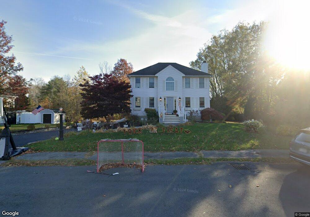
9 Doe Run Dr Newburyport, MA 01950
Estimated Value: $1,000,000 - $1,204,000
3
Beds
3
Baths
2,187
Sq Ft
$505/Sq Ft
Est. Value
About This Home
This home is located at 9 Doe Run Dr, Newburyport, MA 01950 and is currently estimated at $1,104,954, approximately $505 per square foot. 9 Doe Run Dr is a home located in Essex County with nearby schools including Francis T. Bresnahan Elementary School, Edward G. Molin Elementary School, and Rupert A. Nock Middle School.
Ownership History
Date
Name
Owned For
Owner Type
Purchase Details
Closed on
Jul 31, 2008
Sold by
Gauron Angel P and Eaton Charles
Bought by
Sloan Kimberly A
Current Estimated Value
Purchase Details
Closed on
Oct 19, 2005
Sold by
Rice Pamela W and Salafia Robert
Bought by
Eaton Charles and Gauron Angel P
Purchase Details
Closed on
Mar 13, 2003
Sold by
Doak Donald P
Bought by
Salafia Robert
Purchase Details
Closed on
May 17, 2001
Sold by
Nunziato Jean M
Bought by
Riverside Rt and Ahern Robert K
Purchase Details
Closed on
Aug 19, 1996
Sold by
Buzco Inc
Bought by
Doak Donald P
Purchase Details
Closed on
Oct 12, 1995
Sold by
Riverside Rt and Ahern Robert
Bought by
Buzco Inc
Create a Home Valuation Report for This Property
The Home Valuation Report is an in-depth analysis detailing your home's value as well as a comparison with similar homes in the area
Home Values in the Area
Average Home Value in this Area
Purchase History
| Date | Buyer | Sale Price | Title Company |
|---|---|---|---|
| Sloan Kimberly A | $420,000 | -- | |
| Eaton Charles | $534,000 | -- | |
| Salafia Robert | $527,500 | -- | |
| Riverside Rt | $14,490 | -- | |
| Doak Donald P | $225,000 | -- | |
| Buzco Inc | $80,000 | -- |
Source: Public Records
Mortgage History
| Date | Status | Borrower | Loan Amount |
|---|---|---|---|
| Open | Buzco Inc | $362,000 | |
| Closed | Buzco Inc | $343,500 |
Source: Public Records
Tax History Compared to Growth
Tax History
| Year | Tax Paid | Tax Assessment Tax Assessment Total Assessment is a certain percentage of the fair market value that is determined by local assessors to be the total taxable value of land and additions on the property. | Land | Improvement |
|---|---|---|---|---|
| 2025 | $9,511 | $992,800 | $482,200 | $510,600 |
| 2024 | $9,208 | $923,600 | $438,700 | $484,900 |
| 2023 | $8,315 | $774,200 | $381,600 | $392,600 |
| 2022 | $8,172 | $680,400 | $318,500 | $361,900 |
| 2021 | $7,964 | $630,100 | $290,000 | $340,100 |
| 2020 | $7,890 | $614,500 | $290,000 | $324,500 |
| 2019 | $8,085 | $618,100 | $290,000 | $328,100 |
| 2018 | $7,491 | $564,900 | $276,500 | $288,400 |
| 2017 | $7,490 | $556,900 | $263,500 | $293,400 |
| 2016 | $6,976 | $521,000 | $240,100 | $280,900 |
| 2015 | $6,950 | $521,000 | $240,100 | $280,900 |
Source: Public Records
Map
Nearby Homes
- 138 Low St
- 110 Low St
- 7 Frances Dr
- 17 Alberta Ave
- 42 Myrtle Ave
- 232 Low St Unit 7
- 287 1/2 High St
- 14 Dexter Ln Unit B
- 14 Dexter Ln Unit A
- 6 Storey Ave
- 27 Warren St Unit 1
- 13 Broad St
- 45 Boardman St Unit 1
- 41 Washington St Unit B
- 44 Washington St Unit C
- 288 Merrimac St
- 1 Hill St
- 1 Hill St Unit 1
- 266 Merrimac St Unit F
- 158 Merrimac St Unit 3