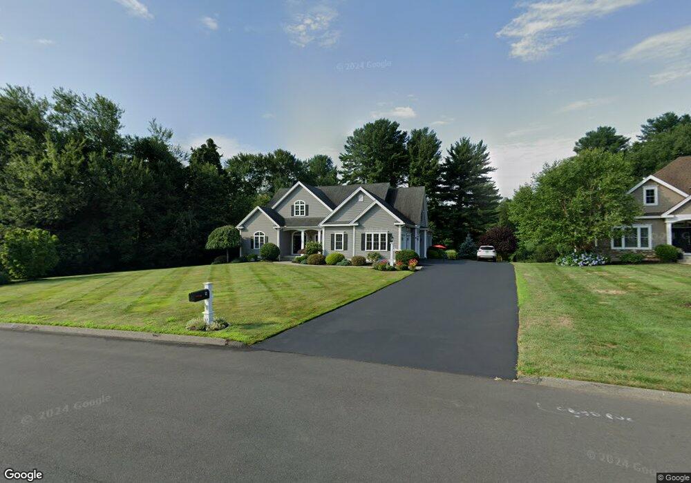
9 Hawthorne Cir Rocky Hill, CT 06067
Estimated Value: $682,000 - $1,117,000
4
Beds
3
Baths
3,279
Sq Ft
$266/Sq Ft
Est. Value
About This Home
This home is located at 9 Hawthorne Cir, Rocky Hill, CT 06067 and is currently estimated at $872,392, approximately $266 per square foot. 9 Hawthorne Cir is a home located in Hartford County with nearby schools including Albert D. Griswold Middle School and Rocky Hill High School.
Ownership History
Date
Name
Owned For
Owner Type
Purchase Details
Closed on
Nov 22, 2013
Sold by
Rjd Development Co Llc
Bought by
Scully Robert M and Scully Christine G
Current Estimated Value
Home Financials for this Owner
Home Financials are based on the most recent Mortgage that was taken out on this home.
Original Mortgage
$524,175
Outstanding Balance
$390,269
Interest Rate
3.75%
Mortgage Type
Adjustable Rate Mortgage/ARM
Estimated Equity
$482,123
Create a Home Valuation Report for This Property
The Home Valuation Report is an in-depth analysis detailing your home's value as well as a comparison with similar homes in the area
Home Values in the Area
Average Home Value in this Area
Purchase History
| Date | Buyer | Sale Price | Title Company |
|---|---|---|---|
| Scully Robert M | $225,000 | -- | |
| Scully Robert M | $225,000 | -- |
Source: Public Records
Mortgage History
| Date | Status | Borrower | Loan Amount |
|---|---|---|---|
| Open | Scully Robert M | $200,000 | |
| Open | Scully Robert M | $524,175 | |
| Closed | Scully Robert M | $524,175 |
Source: Public Records
Tax History Compared to Growth
Tax History
| Year | Tax Paid | Tax Assessment Tax Assessment Total Assessment is a certain percentage of the fair market value that is determined by local assessors to be the total taxable value of land and additions on the property. | Land | Improvement |
|---|---|---|---|---|
| 2025 | $17,453 | $577,150 | $138,600 | $438,550 |
| 2024 | $16,835 | $577,150 | $138,600 | $438,550 |
| 2023 | $15,685 | $436,660 | $149,310 | $287,350 |
| 2022 | $15,074 | $436,660 | $149,310 | $287,350 |
| 2021 | $14,890 | $436,660 | $149,310 | $287,350 |
| 2020 | $14,672 | $436,660 | $149,310 | $287,350 |
| 2019 | $14,191 | $436,660 | $149,310 | $287,350 |
| 2018 | $16,874 | $520,800 | $160,300 | $360,500 |
| 2017 | $16,457 | $520,800 | $160,300 | $360,500 |
| 2016 | $16,145 | $520,800 | $160,300 | $360,500 |
Source: Public Records
Map
Nearby Homes
- 91 Highview Dr
- 2369 Main St
- 1605 Briarwood Ct Unit 1605
- 2843 Main St
- 2 Carillon Dr Unit D
- 37 Carillon Dr Unit A
- 20 Nessa Way
- 40 Grimes Rd
- 1 Hillside Ave
- 74 Grimes Rd
- 32 Jennifers Way
- 5 Northbridge
- 4 Lower Heatherwood
- 4 Lower Heatherwood Unit 4
- 33 Brookwood Dr Unit D
- 27 Little Oak Ln Unit 27
- 36 Copper Beech Dr
- 50 Little Oak Ln Unit 50
- 46 Little Oak Ln Unit 46
- 19 Brookwood Dr Unit C
- 11 Hawthorne Cir
- 12 Hawthorne Cir
- 235 Brook St
- 235 Brook St
- 235 Brook St
- 34 Hawthorne Cir
- 14 Hawthorne Cir
- 191 Brook St
- 17 Hawthorne Cir
- 7 Hawthorne Cir
- 32 Hawthorne Cir
- 8 Hawthorne Cir
- 16 Hawthorne Cir
- 16 Hawthorne Cir
- 16 Hawthorne Cir
- 15 Hawthorne Cir
- 261 Brook St
- 51 Hawthorne Cir
- 5 Hawthorne Cir
- 23 Hawthorne Cir