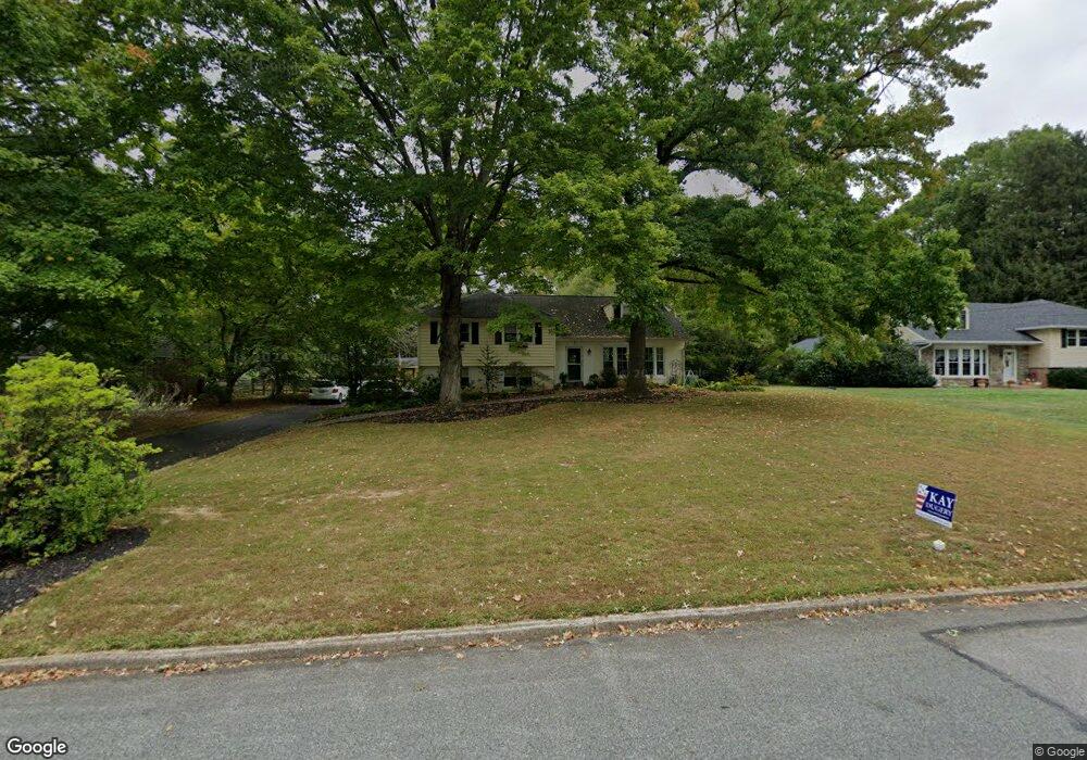
9 Meadows Ln Haverford, PA 19041
Estimated Value: $700,000 - $978,000
4
Beds
3
Baths
2,342
Sq Ft
$376/Sq Ft
Est. Value
About This Home
This home is located at 9 Meadows Ln, Haverford, PA 19041 and is currently estimated at $880,851, approximately $376 per square foot. 9 Meadows Ln is a home located in Delaware County with nearby schools including Coopertown Elementary School, Haverford Middle School, and Haverford Senior High School.
Ownership History
Date
Name
Owned For
Owner Type
Purchase Details
Closed on
May 25, 2005
Sold by
Wakim Roberta
Bought by
Mcmahon Michael J and Mcmahon Colleen D
Current Estimated Value
Home Financials for this Owner
Home Financials are based on the most recent Mortgage that was taken out on this home.
Original Mortgage
$55,700
Outstanding Balance
$29,210
Interest Rate
5.83%
Mortgage Type
Credit Line Revolving
Estimated Equity
$851,641
Purchase Details
Closed on
Jan 18, 2005
Sold by
Amadio Judith
Bought by
Wakim Roberta
Purchase Details
Closed on
Mar 26, 2001
Sold by
Amadio Julio J and Amadio Judith M
Bought by
Amadio Julio J
Create a Home Valuation Report for This Property
The Home Valuation Report is an in-depth analysis detailing your home's value as well as a comparison with similar homes in the area
Home Values in the Area
Average Home Value in this Area
Purchase History
| Date | Buyer | Sale Price | Title Company |
|---|---|---|---|
| Mcmahon Michael J | $557,000 | -- | |
| Wakim Roberta | $480,000 | -- | |
| Amadio Julio J | -- | -- |
Source: Public Records
Mortgage History
| Date | Status | Borrower | Loan Amount |
|---|---|---|---|
| Open | Mcmahon Michael J | $55,700 | |
| Open | Mcmahon Michael J | $445,600 |
Source: Public Records
Tax History Compared to Growth
Tax History
| Year | Tax Paid | Tax Assessment Tax Assessment Total Assessment is a certain percentage of the fair market value that is determined by local assessors to be the total taxable value of land and additions on the property. | Land | Improvement |
|---|---|---|---|---|
| 2025 | $10,865 | $422,550 | $214,760 | $207,790 |
| 2024 | $10,865 | $422,550 | $214,760 | $207,790 |
| 2023 | $10,556 | $422,550 | $214,760 | $207,790 |
| 2022 | $10,309 | $422,550 | $214,760 | $207,790 |
| 2021 | $16,795 | $422,550 | $214,760 | $207,790 |
| 2020 | $10,548 | $226,950 | $106,510 | $120,440 |
| 2019 | $10,354 | $226,950 | $106,510 | $120,440 |
| 2018 | $10,176 | $226,950 | $0 | $0 |
| 2017 | $9,961 | $226,950 | $0 | $0 |
| 2016 | $1,246 | $226,950 | $0 | $0 |
| 2015 | $1,246 | $226,950 | $0 | $0 |
| 2014 | $1,246 | $226,950 | $0 | $0 |
Source: Public Records
Map
Nearby Homes
- 6 Duncan Ln
- 501 College Ave
- 53 Parkridge Dr
- 40 Parkridge Dr Unit 40
- 202 Summit Dr Unit B
- 103 Summit Dr Unit B
- 4105 Parkview Dr
- 306 Summit Dr
- 633 Foxfields Rd
- 133 Quaker Ln
- 234 Valley Ridge Rd
- 173 Clemson Rd
- 145 Landover Rd
- 258 Lee Cir
- 200 Marple Rd
- 390 S Bryn Mawr Ave
- 719 Miller St
- 345 Ellis Rd
- 732 Buck Ln
- 215 Cornell Dr