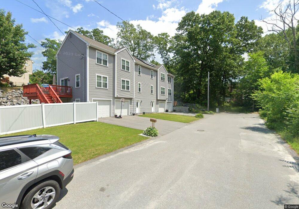
9 Pocasset St Worcester, MA 01604
Grafton Hill NeighborhoodEstimated Value: $469,660 - $537,000
3
Beds
3
Baths
1,623
Sq Ft
$307/Sq Ft
Est. Value
About This Home
This home is located at 9 Pocasset St, Worcester, MA 01604 and is currently estimated at $497,665, approximately $306 per square foot. 9 Pocasset St is a home with nearby schools including Roosevelt Elementary School, Jacob Hiatt Magnet School, and Chandler Magnet.
Ownership History
Date
Name
Owned For
Owner Type
Purchase Details
Closed on
Jul 15, 2014
Sold by
Kosta Realty Llc
Bought by
Antwi Gabriel G
Current Estimated Value
Home Financials for this Owner
Home Financials are based on the most recent Mortgage that was taken out on this home.
Original Mortgage
$218,500
Outstanding Balance
$166,182
Interest Rate
4.12%
Mortgage Type
New Conventional
Estimated Equity
$331,483
Purchase Details
Closed on
Oct 19, 2005
Sold by
Buster Corp
Bought by
Aet Rt
Create a Home Valuation Report for This Property
The Home Valuation Report is an in-depth analysis detailing your home's value as well as a comparison with similar homes in the area
Home Values in the Area
Average Home Value in this Area
Purchase History
| Date | Buyer | Sale Price | Title Company |
|---|---|---|---|
| Antwi Gabriel G | $230,000 | -- | |
| Kosta Realty Llc | -- | -- | |
| Aet Rt | -- | -- |
Source: Public Records
Mortgage History
| Date | Status | Borrower | Loan Amount |
|---|---|---|---|
| Open | Antwi Gabriel G | $218,500 |
Source: Public Records
Tax History Compared to Growth
Tax History
| Year | Tax Paid | Tax Assessment Tax Assessment Total Assessment is a certain percentage of the fair market value that is determined by local assessors to be the total taxable value of land and additions on the property. | Land | Improvement |
|---|---|---|---|---|
| 2025 | $6,005 | $455,300 | $83,800 | $371,500 |
| 2024 | $5,654 | $411,200 | $83,800 | $327,400 |
| 2023 | $5,442 | $379,500 | $72,900 | $306,600 |
| 2022 | $4,934 | $324,400 | $58,300 | $266,100 |
| 2021 | $4,835 | $297,000 | $46,600 | $250,400 |
| 2020 | $4,701 | $276,500 | $46,700 | $229,800 |
| 2019 | $4,716 | $262,000 | $42,000 | $220,000 |
| 2018 | $4,707 | $248,900 | $42,000 | $206,900 |
| 2017 | $4,430 | $230,500 | $42,000 | $188,500 |
| 2016 | $4,536 | $220,100 | $31,800 | $188,300 |
| 2015 | $4,417 | $220,100 | $31,800 | $188,300 |
| 2014 | $2,374 | $121,500 | $31,800 | $89,700 |
Source: Public Records
Map
Nearby Homes
- 7 Atlas St
- 31 Crane St
- 1201 Grafton St Unit 73
- 340 Sunderland Rd Unit 23
- 270 Sunderland Rd Unit 37
- 589 Sunderland Rd
- 330 Sunderland Rd Unit 78
- 330 Sunderland Rd Unit 87
- 23 Canna Dr
- 232 Weatherstone Dr
- 36 Westborough St
- 65 Progressive St
- 63 Progressive St
- 62 Edgemere Blvd
- 38 Etre Dr
- 33 Lakeside Dr
- 25 Stoneham Rd
- 11 Phoenix St
- 15 Lakeside Dr
- 24 Benham St Unit B
- 11 Pocasset St
- 6 Ockway St Unit B
- 6A Ockway St
- 7 Pocasset St
- 12 Pocasset St
- 4B Ockway St
- 4A Ockway St
- 10 Ockway St
- 10 Ockway St Unit B
- 10 Ockway St Unit A
- 6 Pocasset St
- 6 Pocasset St
- 7 Ockway St
- 2B Ockway St
- 3 Ockway St
- 2 Ockway St Unit A
- 2 Ockway St
- 1 Pocasset St
- 21 Rural St Unit 21
- 21 Rural St Unit 1