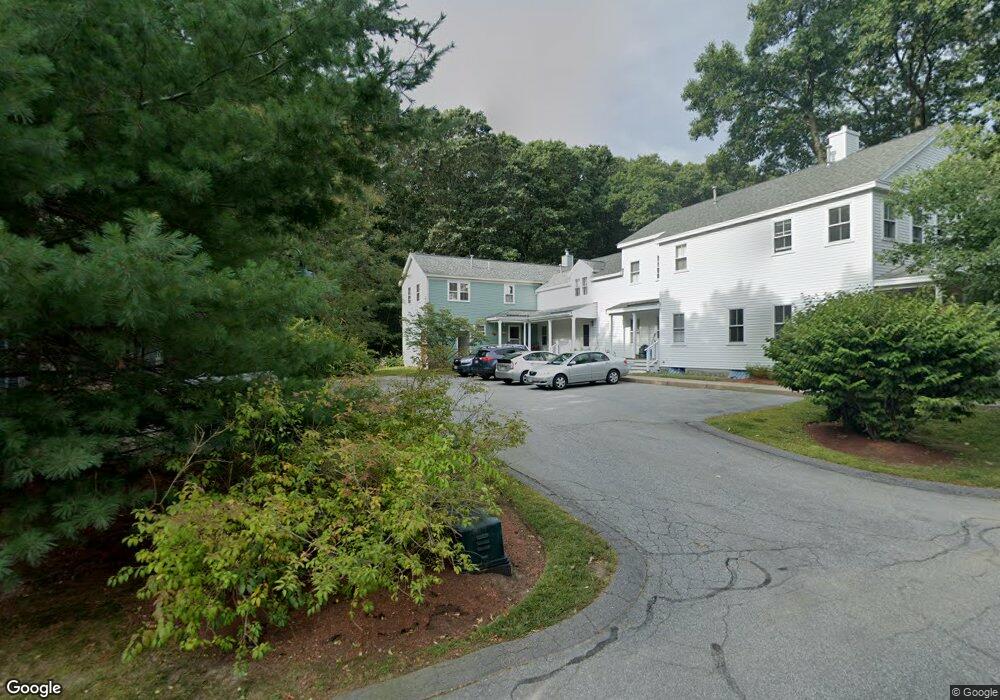
9 S Commons Unit D Lincoln, MA 01773
Estimated Value: $605,035 - $766,000
3
Beds
3
Baths
1,359
Sq Ft
$485/Sq Ft
Est. Value
About This Home
This home is located at 9 S Commons Unit D, Lincoln, MA 01773 and is currently estimated at $658,509, approximately $484 per square foot. 9 S Commons Unit D is a home located in Middlesex County with nearby schools including Lincoln-Sudbury Regional High School and Tremont School.
Ownership History
Date
Name
Owned For
Owner Type
Purchase Details
Closed on
May 5, 2022
Sold by
Mohn Susan W and Worsh Arthur J
Bought by
Mohn Susan W
Current Estimated Value
Purchase Details
Closed on
May 23, 2003
Sold by
Keller Scott P and Johnson Laurie
Bought by
Worsh Arthur J and Mohn Susan W
Home Financials for this Owner
Home Financials are based on the most recent Mortgage that was taken out on this home.
Original Mortgage
$200,000
Interest Rate
5.86%
Mortgage Type
Purchase Money Mortgage
Purchase Details
Closed on
Aug 22, 1995
Sold by
Lincoln House Assoc Lp
Bought by
Johnson Laurie and Keller Scott P
Home Financials for this Owner
Home Financials are based on the most recent Mortgage that was taken out on this home.
Original Mortgage
$194,800
Interest Rate
7.61%
Mortgage Type
Purchase Money Mortgage
Create a Home Valuation Report for This Property
The Home Valuation Report is an in-depth analysis detailing your home's value as well as a comparison with similar homes in the area
Home Values in the Area
Average Home Value in this Area
Purchase History
| Date | Buyer | Sale Price | Title Company |
|---|---|---|---|
| Mohn Susan W | -- | None Available | |
| Worsh Arthur J | $421,000 | -- | |
| Johnson Laurie | $216,525 | -- |
Source: Public Records
Mortgage History
| Date | Status | Borrower | Loan Amount |
|---|---|---|---|
| Previous Owner | Johnson Laurie | $176,000 | |
| Previous Owner | Worsh Arthur J | $200,000 | |
| Previous Owner | Johnson Laurie | $194,800 |
Source: Public Records
Tax History Compared to Growth
Tax History
| Year | Tax Paid | Tax Assessment Tax Assessment Total Assessment is a certain percentage of the fair market value that is determined by local assessors to be the total taxable value of land and additions on the property. | Land | Improvement |
|---|---|---|---|---|
| 2025 | $71 | $550,600 | $0 | $550,600 |
| 2024 | $6,644 | $515,400 | $0 | $515,400 |
| 2023 | $6,832 | $490,800 | $0 | $490,800 |
| 2022 | $7,162 | $479,700 | $0 | $479,700 |
| 2021 | $6,914 | $445,500 | $0 | $445,500 |
| 2020 | $6,336 | $412,500 | $0 | $412,500 |
| 2019 | $5,602 | $399,300 | $0 | $399,300 |
| 2018 | $5,430 | $399,300 | $0 | $399,300 |
| 2017 | $5,114 | $373,300 | $0 | $373,300 |
| 2016 | $5,178 | $370,100 | $0 | $370,100 |
| 2015 | $5,053 | $357,100 | $0 | $357,100 |
| 2014 | $4,865 | $337,600 | $0 | $337,600 |
Source: Public Records
Map
Nearby Homes
- 5 South Commons Unit D
- 36 Indian Camp Ln Unit D
- 29 S Commons Unit D
- 241 Shadyside Ave
- 16 Old Cambridge Turnpike
- 22 Old Cambridge Turnpike
- 646 Cambridge Turnpike
- 10 Reiling Pond Rd
- 9 Garland Rd
- 16 Hatch Farm Ln
- 28 Hatch Farm Ln
- 10 Hatch Farm Ln
- 6 Parker Rd
- 644 Old Bedford Rd
- 7 Blue Heron Way
- 50 Summer St Unit A
- 52 Summer St Unit B
- 39 Neillian St Unit 39
- 84 Davison Dr
- 86 Butternut Cir
- 9 S Commons Unit C
- 9 S Commons Unit B
- 9 S Commons Unit A
- 7 S Commons Unit R
- 7 S Commons Unit L
- 7 S Commons
- 7R S Commons Unit 7R
- 13 S Commons Unit R
- 13 S Commons Unit L
- 13 L South Commons Unit 13L
- 13 R South Commons Unit 13R
- 9 South Commons Unit A
- 5 A South Commons Unit 5A
- 5 D South Commons Unit D,5
- 5A S Commons Unit A,5
- 5 S Commons Unit D5
- 5 S Commons Unit D
- 5 S Commons Unit C
- 5 S Commons Unit B
- 5 S Commons Unit A